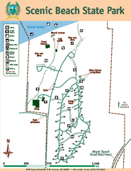
Scenic Beach State Park Map
Map of park with detail of trails and recreation zones
61 miles away
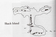
Shack Island Map
Illustration taken from the book "Shack Island" by Ruth English Matson. 2004.
61 miles away
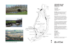
Spencer Island Park map
61 miles away
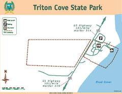
Triton Cove State Park Map
Map of park with detail of trails and recreation zones
61 miles away
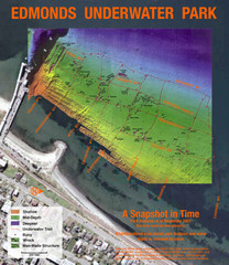
Edmonds Underwater Park Map
Map of underwater park for divers
61 miles away
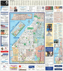
Edmonds tourist map
Tourist map of Edmonds, Washington. Shows all businesses.
62 miles away
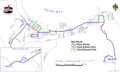
Neah Bay Bus Route Map
62 miles away
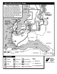
Belcarra Regional Park Trail Map
Trail map of Belcarra Regional Park, BC
62 miles away
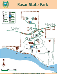
Rasar State Park Map
Map of park with detail of trails and recreation zones
62 miles away
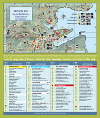
Bownen Island Tourist Map
63 miles away

Bowen Island 3D Aerial Map
3d aerial map of Bowen Island, BC
63 miles away

Downtown Edmonds tourist map
Tourist map of Downtown Edmonds, Washington. Shows all businesses.
63 miles away
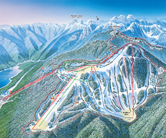
Grouse Mountain Ski Trail Map
Trail map from Grouse Mountain, which provides downhill, night, and terrain park skiing. It has 5...
63 miles away
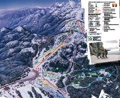
Mount Seymour Ski Trail Map
Trail map from Mount Seymour, which provides downhill, night, and terrain park skiing. It has 5...
63 miles away
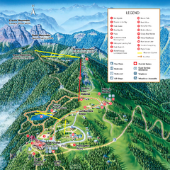
Grouse Mountain Summer Trail Map
Summer trail map of Grouse Mountain Resort near Vancouver, BC.
64 miles away
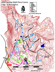
Cypress Mountain Tuesday Night Race Course Ski...
Trail map from Cypress Mountain, which provides downhill, night, nordic, and terrain park skiing...
64 miles away
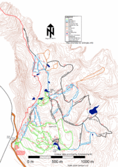
Cypress Mountain Nordic (Skiingbc.info Topo...
Trail map from Cypress Mountain, which provides downhill, night, nordic, and terrain park skiing...
64 miles away
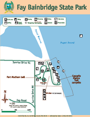
Fay Bainbridge State Park Map
Map of park with detail of trails and recreation zones
64 miles away
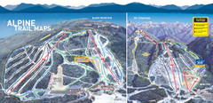
Cypress Mountain Ski Trail Map
Official ski trail map of Cypress Mountain ski area from the 2007-2008 season. Official freestyle...
64 miles away
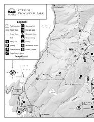
Cypress Provincial Park Map
Park map of Cypress Provincial Park, BC. Home of the North Shore Mountains. 2 pages.
64 miles away

3-D Panoramic Map of the Puget Sound
A 3D panoramic map of a view from a private residence over Puget Sound toward the Olympic mountains.
64 miles away
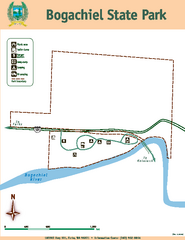
Bogachiel State Park Map
Map of park with detail of trails and recreation zones
64 miles away

Centennial Trail Map
Centennial Trail has 23 miles completed (Snohomish to Bryant) with more in progress.
65 miles away

Centennial Trail Map
66 miles away
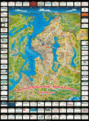
Puget Sound biotech map
Map of Puget Sound area biotechnology companies.
67 miles away
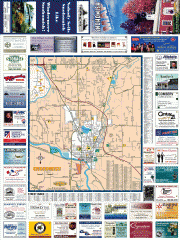
Snohomish tourst map
Tourist map of Snohomish, Washington. Shows all businesses.
67 miles away
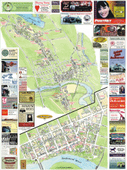
Snohomish tourist map
Snohomish, Washington tourist map. Shows all businesses.
67 miles away
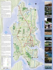
Bainbridge Island Hiking and Biking Map
Shows trails and bike routes on Bainbridge Island, Washington in the Puget Sound. Also shows...
67 miles away
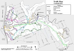
Carkeek Park Trail Map
Trail map of Carkeek Park on the Puget Sound, Seattle, WA. Shows maintained and unmaintained trails.
67 miles away
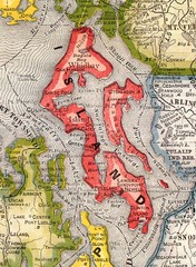
Island County Washington, 1909 Map
68 miles away
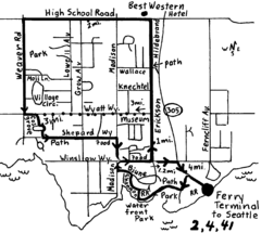
Bainbridge Walking Map
From Seattle Ferry Terminal, take the Bainbridge Ferry to Winslow. The walk is 4 miles with...
68 miles away
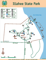
Illahee State Park Map
Map of park with detail of trails and recreation zones
68 miles away
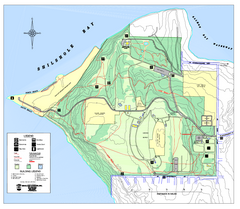
Discovery Park trail map
Trail and facility map of Discovery Park. Discovery Park is a 534 acre natural area park operated...
69 miles away
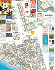
Ballard tourist map
Tourist map of Ballard, Washington. Shows all businesses.
69 miles away
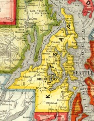
Kitsap County Washington, 1909 Map
69 miles away
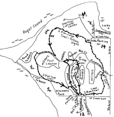
Discovery Park Walking Map Seattle Map
You can walk the Historic Parade Grounds in Fort Lawton (1.5 miles) and/or the 2.8 mile Trail Loop...
69 miles away
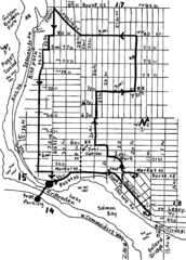
Ballard, Seattle walking map
Start/finish at the Crittendon Locks in Ballard, Seattle. The total map is 6.4 miles, but has...
69 miles away

Magnolia tourist map
Tourist map of Magnolia, Washington. Shows all businesses.
69 miles away
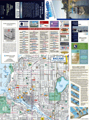
Ballard tourist map
Tourist map of Ballard, Washington and Green Lake Park. Shows all businesses.
70 miles away
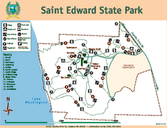
Saint Edward State Park Map
Map of park with detail of trails and recreation zones
70 miles away

