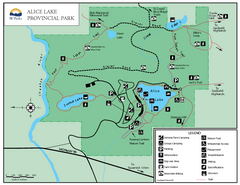
Alice Lake Provincal Park Map
80 miles away
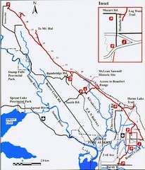
Log Train Trail Map
Trail map of the Log Train Trail near Port Alberni, Vancouver Island
80 miles away
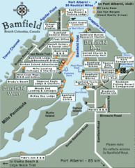
Bamfield Tourist Map
80 miles away
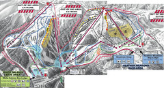
Mt. Baker Ski Area Ski Trail Map
Trail map from Mt. Baker Ski Area, which provides terrain park skiing. It has 10 lifts servicing 38...
80 miles away
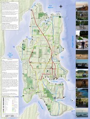
Bainbridge Island Hiking and Biking Map
Shows trails and bike routes on Bainbridge Island, Washington in the Puget Sound. Also shows...
80 miles away
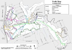
Carkeek Park Trail Map
Trail map of Carkeek Park on the Puget Sound, Seattle, WA. Shows maintained and unmaintained trails.
80 miles away
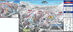
Mt. Baker Ski Trail Map
Official ski trail map of Mount Baker ski area from the 2007-2008 season.
81 miles away
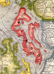
Island County Washington, 1909 Map
81 miles away
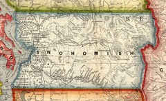
Snohomish County Washington, 1909 Map
81 miles away
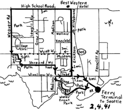
Bainbridge Walking Map
From Seattle Ferry Terminal, take the Bainbridge Ferry to Winslow. The walk is 4 miles with...
82 miles away
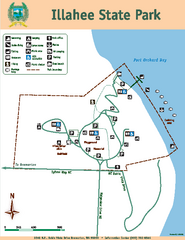
Illahee State Park Map
Map of park with detail of trails and recreation zones
82 miles away
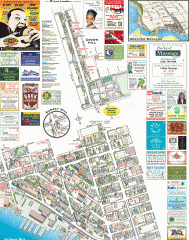
Ballard tourist map
Tourist map of Ballard, Washington. Shows all businesses.
82 miles away
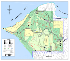
Discovery Park trail map
Trail and facility map of Discovery Park. Discovery Park is a 534 acre natural area park operated...
82 miles away
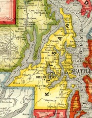
Kitsap County Washington, 1909 Map
82 miles away
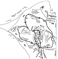
Discovery Park Walking Map Seattle Map
You can walk the Historic Parade Grounds in Fort Lawton (1.5 miles) and/or the 2.8 mile Trail Loop...
82 miles away
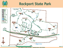
Rockport State Park Map
Map of park with detail of trails and recreation zones
82 miles away
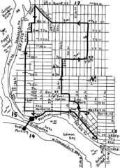
Ballard, Seattle walking map
Start/finish at the Crittendon Locks in Ballard, Seattle. The total map is 6.4 miles, but has...
82 miles away
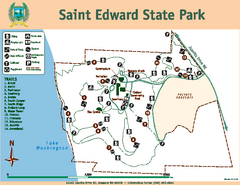
Saint Edward State Park Map
Map of park with detail of trails and recreation zones
83 miles away

Magnolia tourist map
Tourist map of Magnolia, Washington. Shows all businesses.
83 miles away
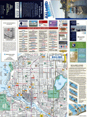
Ballard tourist map
Tourist map of Ballard, Washington and Green Lake Park. Shows all businesses.
83 miles away
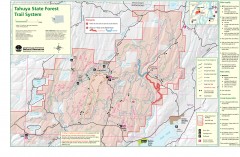
Tahuya State Forest Trail Map
Shows trails of Tahuya State Forest. Show roads, doubletrack, singletrack, and 4WD only.
83 miles away
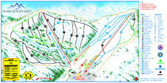
Hemlock Resort Ski Trail Map
Trail map from Hemlock Resort, which provides downhill and terrain park skiing. It has 4 lifts...
84 miles away
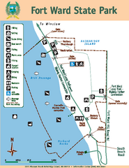
Fort Ward State Park Map
Map of park with detail of trails and recreation zones
84 miles away
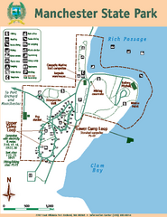
Manchester State Park Map
Map of park with detail of trails and recreation zones
84 miles away
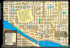
Fremont Walking Tour Map
Walking tour map of Fremont Washington in city of Seattle. Center of the known universe. Shows...
84 miles away
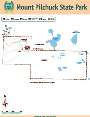
Mount Pilchuck State Park Map
Map of park with detail of trails and recreation zones
84 miles away

Woodinville tourist map
Tourist map of Woodinville, Washington. Shows all businesses.
84 miles away
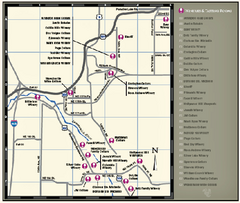
Woodinville Wine Country Map
Map of wineries in the Woodinville, WA area
85 miles away
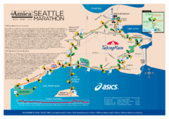
Seattle Marathon Map
Full Map of the Seattle Marathon with run details and location.
85 miles away
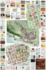
Queen Anne tourist map
Tourist map of Queen Anne, Washington. Shows all businesses.
85 miles away
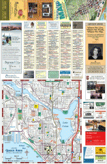
Queen Anne tourist map
Tourist map of Queen Anne, Washington. shows all businesses.
85 miles away
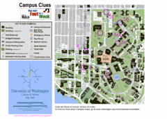
University of Washington map
85 miles away
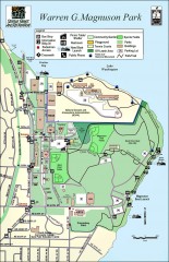
Warren G. Magnuson Park Map
Map of Warren G. Magnuson Park Warren G. Magnuson Park sits on a splendid mile-long stretch of...
85 miles away
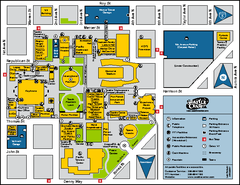
Seattle City Center, Washington Map
Map of points of interest in Seattle Center. KeyArena, the Space Needle, theaters, parking and...
86 miles away
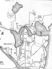
Seattle Historic Bike Paths Map
Historic bike paths in Seattle
86 miles away
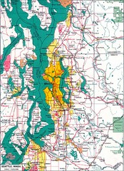
Seattle Region Map
86 miles away

Washington Park Arboretum Trail Map
Trail map of Washington Park Arboretum in Seattle.
87 miles away
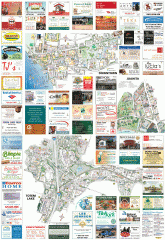
Kirkland tourist map
Kirkland, Washington tourist map. Shows all businesses.
87 miles away
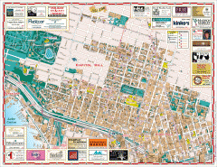
Capitol Hill tourist map
Tourist map of Capitol Hill in Seattle, Washington. Shows all businesses.
87 miles away

