
Nanumea atol Map
851 miles away
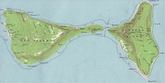
Ofu Olosega Islands Map
Topo map of islands of Ofu and Olosega, American Samoa
860 miles away
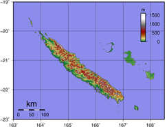
New Caldeonia Topographic Map
861 miles away
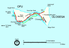
Ofu and Olosega Island Tourist Map
865 miles away
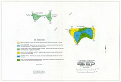
Manu'a Islands Tourist Map
866 miles away

Swain's Island Map
869 miles away
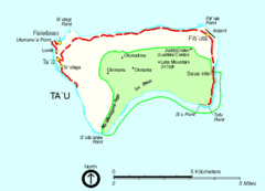
Manu'a Island Map
National Park of American Samoa
869 miles away
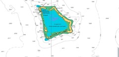
Atafu atoll Map
906 miles away
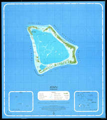
Atafu Map
906 miles away
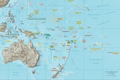
Oceania Map
Map of Oceania. Shows all island groups in the Pacific Ocean
907 miles away
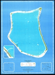
Nukunonu Atoll Map
909 miles away
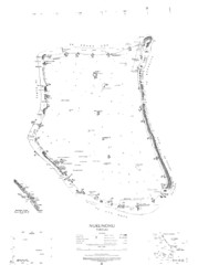
Nukunono atoll Map
910 miles away
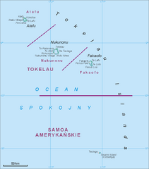
Tokelau Islands Map
Guide to the islands of Tokelau, a territory of New Zealand comprised of three coral atolls, also...
914 miles away
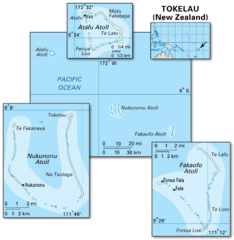
Tokelau islands Map
917 miles away
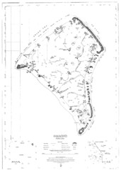
Fakaofo atoll Map
930 miles away
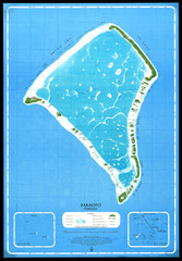
Fakaofo Map
931 miles away
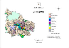
Norfolk Island zoning Map
1001 miles away
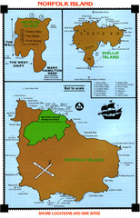
Norfolk Island dive sites Map
1001 miles away
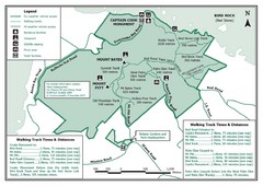
Norfolk Island National Park Trail Map
1002 miles away
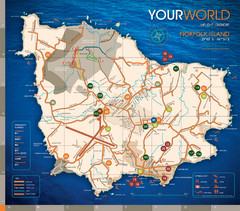
Norfolk Island tourist Map
1002 miles away
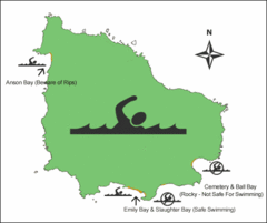
Norfolk Island Swim Zone Map
This helpful map shows safe and not safe swim areas on this amazing island.
1002 miles away
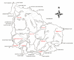
Norfolk Island Map
This map shows the entire Island including the various beaches and the town centre.
1002 miles away
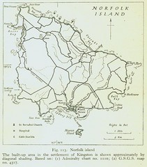
Historic Norfolk Island Map
Historic guide to Norfolk Island
1003 miles away
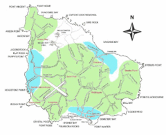
Norfolk Island Map
Guide to Norfolk Island, a territory of Australia
1003 miles away
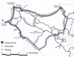
Cape Reinga Coastal Walkway Map
Trail map of the Cape Reinga Coastal Walkway
1196 miles away
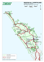
Northland Map
Regional map of Northland, including highway detail
1244 miles away
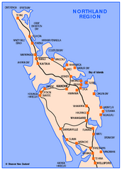
Northland Map
Map of Northland / Bay of Islands New Zealand
1244 miles away
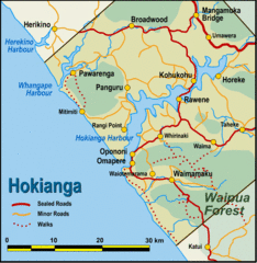
Hokianga Map
Map of Hokianga region, with detail of major towns
1249 miles away
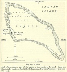
Kanton atoll Map
1253 miles away
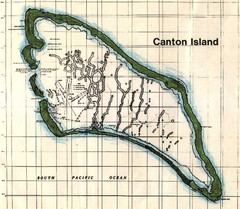
Canton Island Map
1253 miles away
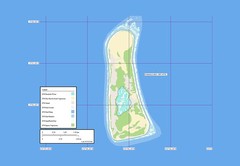
Enderbury atoll Map
1258 miles away
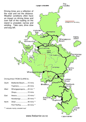
Great Barrier Island Map
On this website you will find comprehensive information about Great Barrier Island including all...
1280 miles away
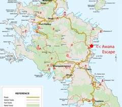
Great Barrier Island Map
1280 miles away
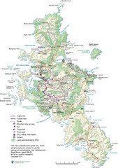
Great Barrier Island Map
1280 miles away
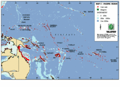
East Asian Pacific Ocean Map
Map of the Pacific Ocean surrounding East Asian Islands from the Solomon Islands to USA Hawaii.
1285 miles away
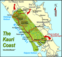
Kauri Coast Map
Map of Kauri Coast region
1290 miles away
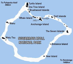
Suwarrow atoll National Park Map
1297 miles away
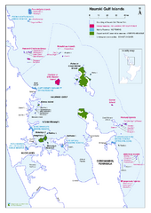
Hauraki Gulf Islands Nature Reserves Map
Shows nature reserves, marine reserves, and boundary of Hauraki Gulf Marine Park.
1299 miles away
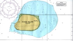
Baker Island Nautical Map
Nautical map of US unincorporated territory of Baker Island.
1302 miles away
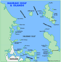
Haukari Gulf Map
1315 miles away

