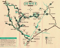
Jemez Mountains, New Mexico Tourist Map
350 miles away
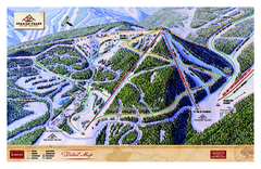
Spanish Peaks Resort Ski Trail Map
Trail map from Spanish Peaks Resort. It has 2 lifts servicing 12 runs; the longest run is 2574...
350 miles away
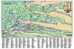
Los Alamos Street map
Los Alamos, New Mexico street and point of interest map. Mesas are colored green.
351 miles away
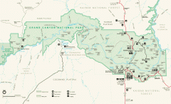
Grand Canyon National Park map
Official map of Grand Canyon National Park. Currently not available on the NPS website
351 miles away
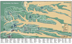
Los Alamos, New Mexico City Map
351 miles away
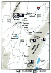
Skiing and Sledding in Elko County, Nevada Map
Map of skiing and sledding opportunities in Elko County, Nevada, showing skiing and sledding...
351 miles away
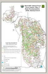
Black Hills National Forest Tourist Map
Black Hills National Forest in Custer, South Dakota
352 miles away

Big Sky Ski Resort Trail Map (Southern exposure...
Big Sky ski resort trail map (Southern exposure) for the 2006-2007 season. Also check out the...
352 miles away
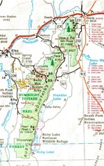
Ruby Mountains Area Map
Included are the communities of Elko, Wells, Deeth, Jiggs, Lee, Lamoille and Spring Creek. Some...
352 miles away
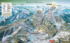
Big Sky Ski Resort Trail Map (Eastern exposure...
Big Sky ski resort trail map (Eastern exposure) for the 2006-2007 season
352 miles away

Big Sky Resort Lone Peak Detail Ski Trail Map
Trail map from Big Sky Resort, which provides terrain park skiing. It has 21 lifts servicing 150...
352 miles away
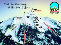
Big Sky Resort Dakota Territory Detail Ski Trail...
Trail map from Big Sky Resort, which provides terrain park skiing. It has 21 lifts servicing 150...
352 miles away
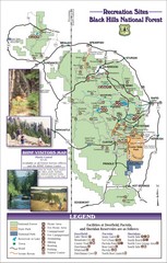
Black Hills National Forest Guide Map
Forest Recreation guide Map
352 miles away
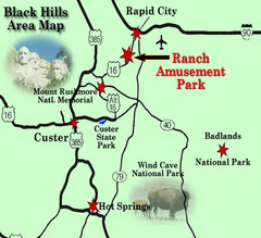
Black Hills Area Map
352 miles away
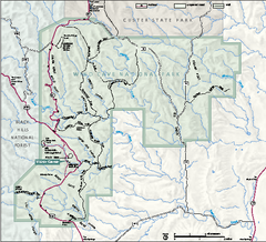
Wind Cave National Park Official Park Map
Official NPS map of Wind Cave National Park in South Dakota. Wind Cave is one of the world's...
352 miles away
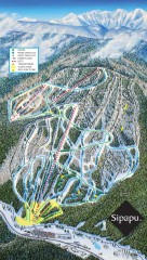
Sipapu Ski Trail Map
Official ski trail map of Sipapu ski area from the 2007-2008 season.
353 miles away

Little Big Horn Battlefield National Monument Map
Official NPS map of the Little Big Horn Battlefield National Monument. This area memorializes...
354 miles away
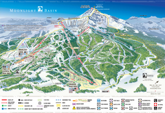
Moonlight Basin Ski Trail Map
Trail map from Moonlight Basin, which provides terrain park skiing. It has 8 lifts servicing 92...
354 miles away
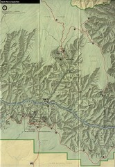
Grand Canyon National Park Map
354 miles away
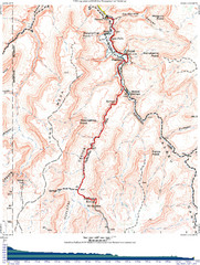
Grand Canyon Havasupai Campground Map
The Grand Canyon Havasupai Campground Map
354 miles away
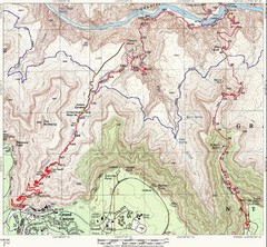
Grand Canyon Hiking Trail Map
Topo map of the Grand Canyon with a loop hike down the South Kaibab Trail and up Bright Angel Trail...
355 miles away
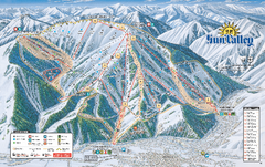
Sun Valley Ski Trail Map 2008
Ski trail map of Sun Valley ski area
355 miles away
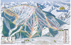
Sun Valley Ski Area Trail Map
Official ski trail map of Bald Mountain, the main mountain of Sun Valley ski area in Sun Valley...
355 miles away
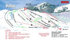
Sun Valley—Bald Mountain Ski Trail Map
Trail map from Sun Valley—Bald Mountain, which provides downhill, nordic, and terrain park skiing...
355 miles away

Black Hills Map
355 miles away
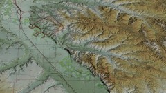
Custer Battlefield Oblique Map
356 miles away
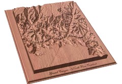
North Rim of the Grand Canyon carved by...
Grand Canyon carved by CarvedMaps.com. They specialize in hard wood carved maps of anywhere within...
356 miles away
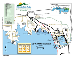
John Martin State Park Map
Map of park with detail of recreation zones
358 miles away
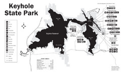
Keyhole State Park Map
Keyhole State Park is located on the western edge of the famed Black Hills, between Sundance and...
360 miles away
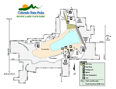
Bonny Lake State Park Map
Map of park with detail of recreation areas
361 miles away
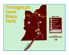
Pictograph Cave State Park Map
The 2,730-square-foot building, on the northwestern side of the existing parking lot, is designed...
361 miles away
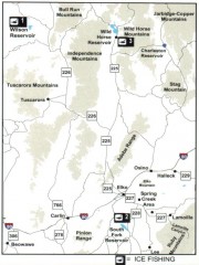
Icefishing Map, Elko County, Nevada
Map of ice fishing locations in Elko County, NV. Shows reservoirs, roads and towns.
363 miles away
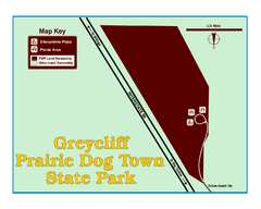
Greycliff Prairie Dog Town State Park Map
Grab your camera and hop off Interstate 90 at Greycliff to delight in the playful, curious black...
363 miles away
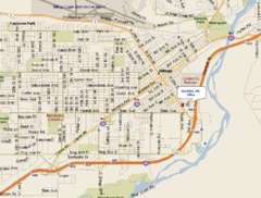
Billings, Montana City Map
364 miles away
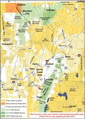
Land Use Map of Elko County, Nevada
Land use map of Elko County, Nevada. Shows lands classified as public or private, and owners of...
365 miles away
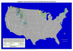
Vegetation types and elevation zones associated...
Historic Lynx Distribution Map for Lynx population from 1842 - 1998 shown on a United States map...
366 miles away
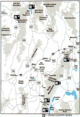
Cross-country Skiing, Elko County, Nevada Map
Map of cross-country skiing opportunities in Elko County, Nevada. Shows skiing locations, roads...
366 miles away
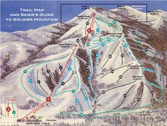
Soldier Mountain Ski Trail Map
Trail map from Soldier Mountain, which provides downhill and terrain park skiing. It has 3 lifts...
367 miles away
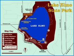
Lake Elmo State Park Map
This urban day-use park attracts visitors to swim, sailboard, and fish. A display in the Fish...
368 miles away
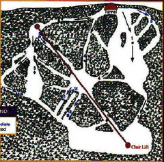
Mystic Miner Ski Resort at Deer Mountain West...
Trail map from Mystic Miner Ski Resort at Deer Mountain.
368 miles away

