Solar Radiation Map of Poland
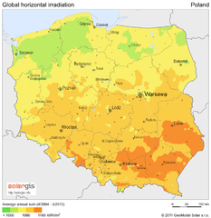
Solar Radiation Map Based on high resolution Solar Radiation Database: SolarGIS. On the Solar Map...
0 miles away
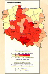
Poland Population Density Map
Map of Poland's population density
0 miles away
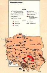
Poland Economic Activity Map
Map of Poland's economic activity
0 miles away

Poland Map
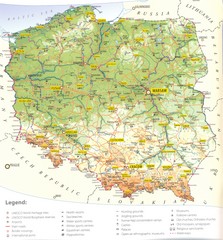
Map of Poland showing major roads, railroads, cities and boundaries.
0 miles away
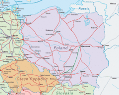
Interrail Routes in Central Europe Map
Map shows railway routes for Poland, Germany, Czech Republic and Slovakia.
0 miles away

Poland Country Map
CIA Atlas of Eastern Europe - PCL Map Collection, University of Texas at Austin.
0 miles away
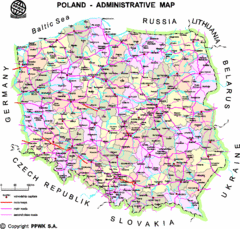
Poland Map
Map of Poland that includes all freeways, cities, districts and surrounding countries.
13 miles away
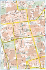
Lódź Tourist Map
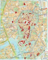
Tourist map of central Lódź, Poland. Shows points of interest.
17 miles away
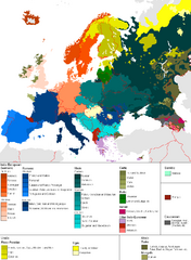
Languages of Europe Map
A map of the languages in Europe and where they originate.
58 miles away
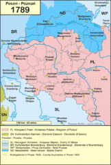
1789 Poland Map
Polish kingdoms and districts in 1789
61 miles away
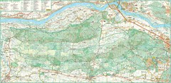
Kampinoski National Park Map
Kampinoski National Park
69 miles away
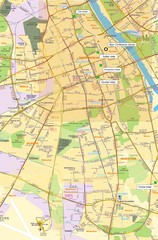
Warsaw University Map
Map of Warsaw University and surrounding area.
82 miles away
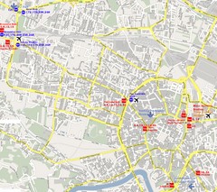
Warsaw, Poland Tourist Map
82 miles away
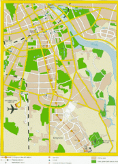
Warsaw, Poland Tourist Map
82 miles away
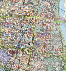
Warsaw, Poland Tourist Map
82 miles away
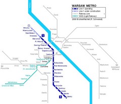
Warsaw Metro Map
82 miles away
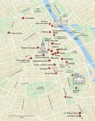
Warsaw Tourist Map
City map of Warsaw, Poland showing tourist sites, parks and major roads.
82 miles away
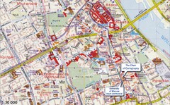
Warsaw Tourist Map
Tourist map of central Warsaw, Poland near University of Warsaw. Shows points of interest.
82 miles away
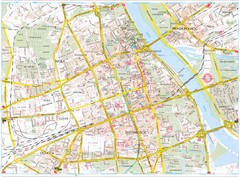
Warsaw Tourist Map
Tourist map of central Warsaw, Poland. Shows points of interest.
83 miles away
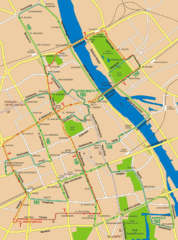
Central Warsaw Tourist Map
Warsaw, Poland Tourist Map showing roads, mass transit routes, and parks.
83 miles away
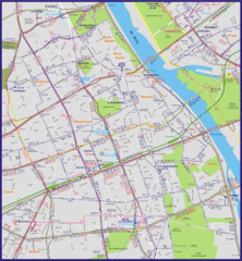
Warsaw City with Bus Routes Map
83 miles away
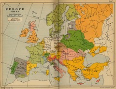
Europe 1490 Historical Map
85 miles away
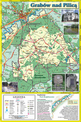
Grabow nad Pilica commune map
Grabow nad Pilica commune map Ed. 2006
90 miles away
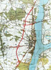
Serock Map
Town map of Serock, Poland. Not very much detail.
91 miles away
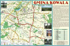
Kowala_Mazovia_poland.jpg Map
Map of Kowala_Mazovia_poland.jpg is a Kowala commune map, created with use of GlobalMapper and...
92 miles away
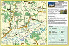
Bartodzieje_Village_Jastrzebia_Poland_streetmap...
Map of Bartodzieje_Village_Jastrzebia_Poland_streetmap.pdf is a street informative map of dimension...
92 miles away
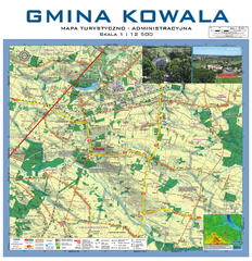
Kowala Commune - near Radom, PL Map
Kowala-Stepocina Commune - the administrative and touristic wall map, scala 1:12500, with 3D effect...
93 miles away
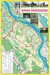
Magnuszew Commyne - Touristic map
Magnuszew commune - touristic, folded map.
95 miles away
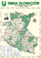
Gmina Glowaczow - Mazovia PL Map
That is a Głowaczów commune / Mazovia PL wall map. Created with use of GlobalMapper...
95 miles away
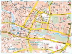
Bydgoszcz Tourist Map
Tourist map of central Bydgoszcz, Poland. Shows points of interest.
96 miles away
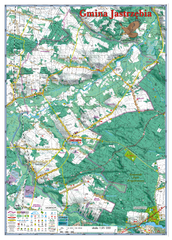
Jastrzebia commune 3D Map
Jastrzebia commune - 3D map Ed. 2010 Projection UTM/WGS84 Scale 1:25 000 Mede with extensive use...
96 miles away
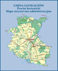
GLOWACZOW commune, PL Map
GLOWACZOW commune map, PL Ed. 2010 All data verified
96 miles away
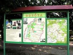
Brzoza_Glowaczow_Poland.jpg Map
Street map of Brzoza_Glowaczow_Poland.jpg - a "heavy-duty" street map after 6 years on...
96 miles away

RadomkaRiver-kayaking Map
Radomka River - kayaking map Checked on field and verified map of Radomka River from Brzoza to...
98 miles away
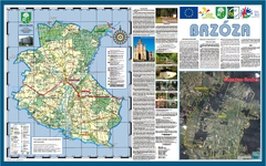
Brzoza_Glowaczow_Poland - 2000 x 1250.PNG Map
Map of Brzoza_Glowaczow_Poland - 2000 x 1250.PNG is special project dedicated to school in Brzoza...
98 miles away
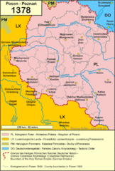
1378 Posen Map
100 miles away
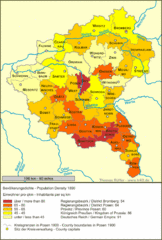
Posen Population Map
100 miles away

