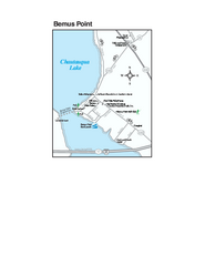
Bemus Point Map
Tourist map of Bemus Point, NY. Shows lodging, parks, shops, restaurants, and other points of...
74 miles away
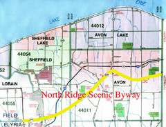
North Ridge Byway Map
The North Ridge Scenic Byway runs along Ohio State Route 254 in Lorain County, Ohio. Variously know...
74 miles away
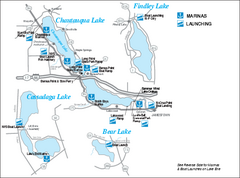
Marinas and Boat Ramps on Chautauqua and...
Recreation map of Chautauqua, Findley, Cassadaga, and Bear Lakes, New York. Shows marinas and boat...
76 miles away
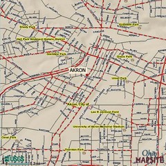
Akron, Ohio City Map
76 miles away
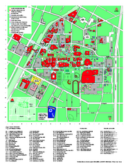
University of Akron Main Campus Map
University of Akron Main Campus Map. All buildings shown.
76 miles away
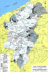
Pittsburgh District Development Map
Authorized Civil works projects for the Pittsburgh District marked as completed or in progress.
76 miles away
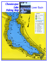
Southern Chautauqua Lake Fishing Map
Fishing map of southern Chautauqua Lake, New York. Shows marinas, boat ramps, state parks and fish...
77 miles away
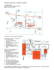
Mohawk College - Brantford Campus Map
Mohawk College - Brantford Campus Map. All areas shown.
80 miles away
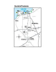
Dunkirk and Fredonia, New York Map
Tourist map of Dunkirk, New York, and Fredonia, New York. Shows shops, parks, lodging and other...
82 miles away
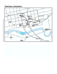
Downtown Jamestown Map
Tourist map of Downtown Jamestown, New York. Shows shops, parking, cinemas, hotels, and government...
82 miles away
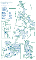
Portage Lakes State Park map
Detailed recreation map for Portage Lakes area in Ohio
83 miles away
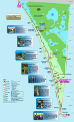
Point Pelee National Park Map
Large and clear national park map
86 miles away
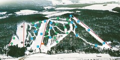
Cockaigne Ski Resort Ski Trail Map
Trail map from Cockaigne Ski Resort.
87 miles away
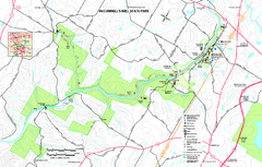
McConnells Mill State Park map
Detailed recreation map for McConnells Mill State Park in Pennsylvania
87 miles away
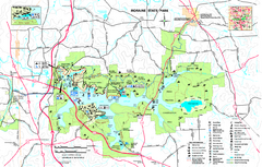
Moraine State Park map
Detailed recreation map for Moraine State Park in Pennsylvania
87 miles away

Chapman State Park map
Detailed map of Chapman State Park in Pennsylvania
88 miles away
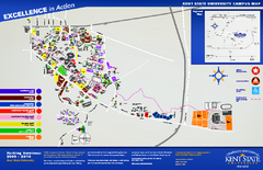
Kent State University Map
88 miles away
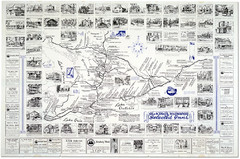
King's Highway Ontario Inn Map
Includes sketches of inns and guesthouses along the King's Highway in Ontario and...
90 miles away
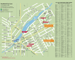
Stratford Tourist Map
Tourist map of center of Stratford, Ontario. Has street index and shows points of interest. Note...
91 miles away
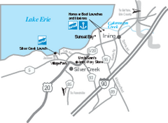
Silver Creek and Irving Map
Tourist map of Silver Creek and Irving, New York. Shows shops, boat ramps, and marinas.
93 miles away
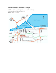
Mohawk College - Fennell Campus Map
Campus Map of Mohawk College of Applied Arts & Technology. Fennell Campus Map Shown.
94 miles away
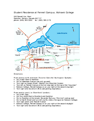
Mohawk College - Fennell Campus Student Residence...
Mohawk College - Fennell Campus Student Residence Halls Map Plan. All buildings shown.
94 miles away
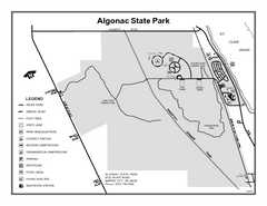
Algonac State Park, Michigan Site Map
95 miles away
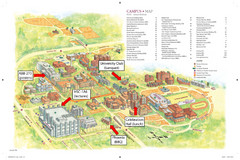
McMaster University Map
Campus map
95 miles away
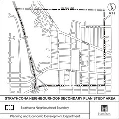
Strathcona Neighbourhood Map
96 miles away
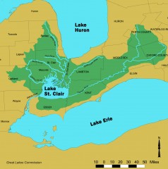
Lake St. Clair/St. Clair River watershed Map
Shows the Lake St. Clair/St. Clair River watershed.
96 miles away
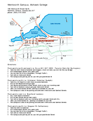
Mohawk College - Wentworth Campus Map
Mohawk College - Wentworth Campus Map. All buildings shown.
97 miles away
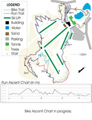
Chicopee Ski Club Summer Ski Trail Map
Trail map from Chicopee Ski Club, which provides downhill skiing. This ski area has its own website.
97 miles away

Cook Forest State Park map
Detailed trail map of Cook Forest State Park in Pennsylvania
98 miles away
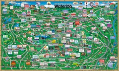
Waterloo Tourist Map
Tourist map of Waterloo, Ontario and the St. Jacobs area. Shows business logos and phone numbers.
98 miles away
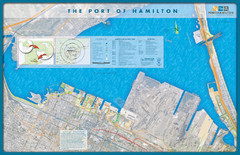
Port of Hamilton Map
Shows piers and tenants of Port of Hamilton, Ontario
98 miles away
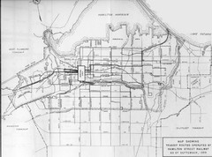
1959 Transit Routes of Hamilton Harbor Map
99 miles away

Cedar Point Amusement park Map
103 miles away

Clear Creek State Park map
Detailed map of Clear Creek State Park in Pennsylvania
104 miles away

Pat Mcgee Trail Map
105 miles away

Birdseye Map of Sandusky, Ohio (1898)
Alvord-Peters birdseye map of Sandusky in 1898.
106 miles away
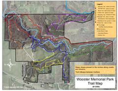
Wooster Memorial Park Trail Map
106 miles away
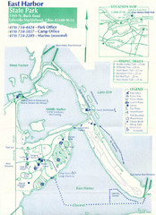
East Harbor State Park Map
108 miles away
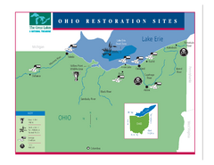
Lake Erie Restoration Sites Map
Shows restoration sites for Lake Erie in Ohio
108 miles away
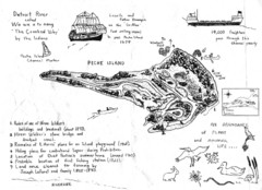
Peche Island Map
Hand-drawn map of Peche Island, Michigan
109 miles away

