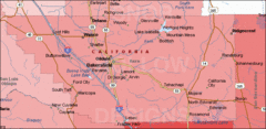
Bakersfield's Location in Kern County Map
182 miles away
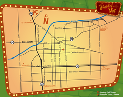
Bakersfield Overview Map
Shows major streets and highways in Bakersfield, CA
182 miles away
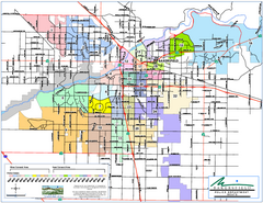
Bakersfield Police Beats Map
182 miles away

Bakersfield California 1889 Map
Map of Bakersfield, CA, showing the first subdivision of lands belonging to J. B. Haggin, 1889
182 miles away

Bakersfield E Zone map
City of Bakersfield Economic & Community Development supports economic diversity, civic growth...
182 miles away
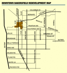
Downtown Bakersfield Redevelopment Area Map
The Downtown Redevelopment Area was established in 1972 and expanded in 1974, 1976, and 1979. It...
182 miles away

Orange Grove RV Park, Bakersfield California Map
182 miles away

Bakersfield City Limits Map
182 miles away
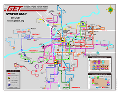
Bakersfield California Bus System Map (G.E.T. Bus)
Entire system map of all routes Golden Empire Transit offers in the City of Bakersfield, California.
182 miles away
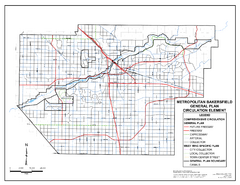
Metropolitan Bakersfield General Plan &ndash...
This map depicts the Circulation Element of the Metropolitan Bakersfield General Plan. This is a...
182 miles away
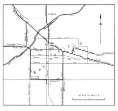
Bakersfield, 1944 Map
Official California State Division of Highways Map
182 miles away
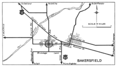
Bakersfield, 1934 Map
Official California State Division of Highways Map
182 miles away
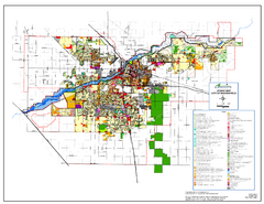
City of Bakersfield Zoning Map
This map depicts zoning for the City of Bakersfield. This map is not the official zoning map for...
182 miles away
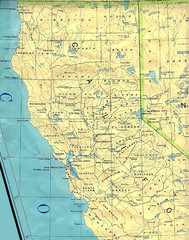
Northern California Map
Map of Northern California including cities, counties, and rivers
182 miles away
Bakersfield College Campus Map
Bakersfield College Campus Map. All buildings shown.
183 miles away
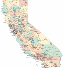
California Road Map
183 miles away
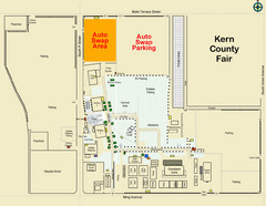
Bakersfield's Auto Swap Meet Map
183 miles away
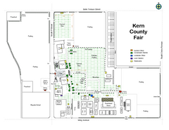
Kern County Fair Map
183 miles away
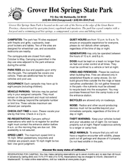
Grover Hot Springs State Park Campground Map
Map of park with detail of trails and recreation zones
184 miles away
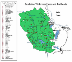
Desolation Wilderness, Lake Tahoe, California Map
Map of Desolation Wilderness, southwest of Lake Tahoe, California. Shows pack-in camping zones...
184 miles away
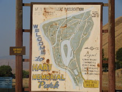
Hart Memorial Park Map
185 miles away
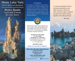
Mono Lake Tufa State Natural Reserve Map
Map of reserve with detail of trails and recreation zones
185 miles away
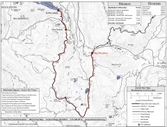
Tahoe Rim Trail: Big Meadow to Echo Lake Map
Topographic hiking map of the Big Meadow-Echo Lake leg of the Tahoe Rim Trail. Bike and pedestrian...
186 miles away
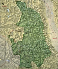
King Canyon and Seqouia Nationa Parks Map
186 miles away
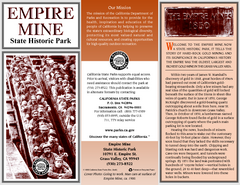
Empire Mine State Historic Park Map
Map of park with detail of trails and recreation zones
186 miles away
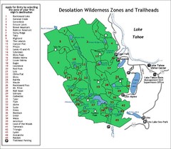
Desolation Wilderness Permits Zone Map
Zone and trailhead map of the Desolation Wilderness near Lake Tahoe, California. Use to figure out...
186 miles away
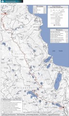
Tahoe Rim Trail: Echo Lake to Barker Pass Map
Topographic hiking map of the Echo Lake-Barker Pass leg of the Tahoe Rim Trail. Shows pedestrian...
186 miles away
Nevada County Economic Resource Council Activity...
The ERC supports many different businesses in western Nevada County. We provide business assistance...
186 miles away
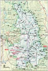
Sequoia National Park map and Kings Canyon...
Official park map of Sequoia National Park and Kings Canyon National Park.
187 miles away

Lake Ming Area Map
Lake Ming is located 10 miles northeast of Bakersfield, off of Hwy. 178 along Alfred Harrell Hwy...
187 miles away

Lower Kern River Map
This portion of the Kern River extends from the Lower Richbar picnic area to Hart Park. Although...
188 miles away
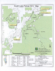
South Lake Tahoe Off-Highway Vehicle Map
Off-Highway Vehicle Map of South Lake Tahoe, California. Shows roads open to motorcycles, ATVs, and...
188 miles away
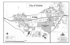
Goleta City Map
Street map of Goleta, California
190 miles away
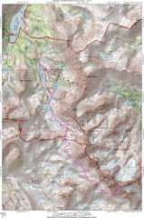
North Palisade South Lake Route Topo Map
Topo map of route from South Lake to North Palisade, 14,242 ft.
190 miles away
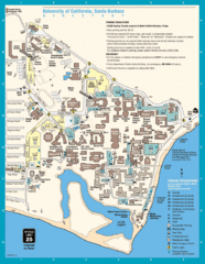
UC Santa Barbara Map
Campus map
190 miles away
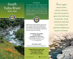
South Yuba River State Park Map
Map of park with detail of trails and recreation zones
190 miles away
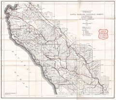
Santa Barbara National Forest 1924 Map
Los Padres National Forest Map. Prior to 1936 it was known as the Santa Barbara National Forest.
190 miles away
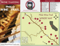
Philo Wine Map
Shows wineries great for wine tasting in the Anderson Valley along Route 128 in Philo California.
190 miles away
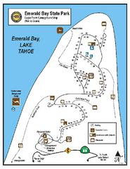
Emerald Bay State Park Campground Map
Map of park with detail of trails and recreation zones
191 miles away
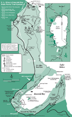
Emerald Bay State Park and DL Bliss State Park...
Trail map of Emerald Bay State Park and DL Bliss State Park on the shores of Lake Tahoe, California
191 miles away

