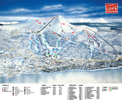
Lofsdalen Ski Trail Map
Trail map from Lofsdalen.
446 miles away
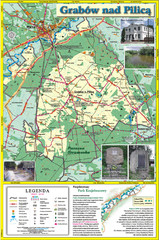
Grabow nad Pilica commune map
Grabow nad Pilica commune map Ed. 2006
447 miles away
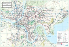
Kaunas City Map
449 miles away
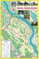
Magnuszew Commyne - Touristic map
Magnuszew commune - touristic, folded map.
449 miles away
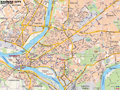
Kaunas Tourist Map
Tourist map of central Kaunas, Lithuania. Shows points of interest.
449 miles away
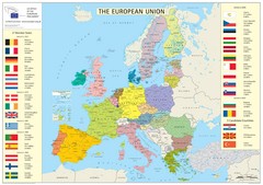
European Union Member States Map
Shows all member states and years joined. Also shows candidate states.
450 miles away
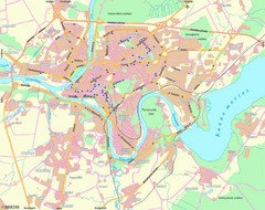
Kaunas Map
City map of Kaunus, Lithiania
450 miles away
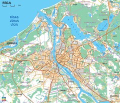
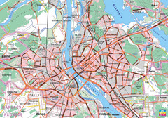
Greater Riga Map
Map of region around Riga, Latvia. Shows roads, towns, and neighborhoods.
450 miles away
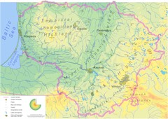
Lithuania physical Map
450 miles away
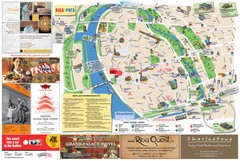
Riga and Jurmala Map
450 miles away
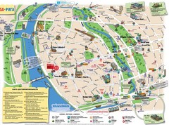
Riga Tourist Map
450 miles away
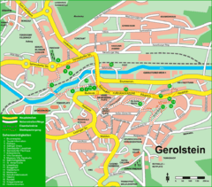
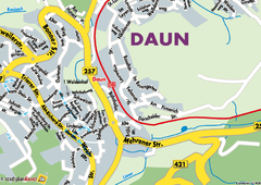
Gerolstein Map
Street map of Gerolstein
450 miles away
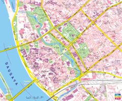
Riga Tourist Map
Tourist map of Riga, Latvia. Shows locations of museums, hotels, and other points of interest.
450 miles away
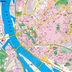
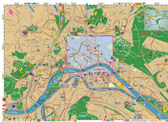
Riga City Map
City map of Riga with information
451 miles away

Bad Münster am Stein-Ebernburg Tourist Map
Tourist street map of Bad Münster am Stein-Ebernburg
451 miles away
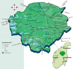
Nasjonalparkriket National Park Region Map
The national parks region "Nasjonalparkriket" is centrally located between the cities of...
452 miles away
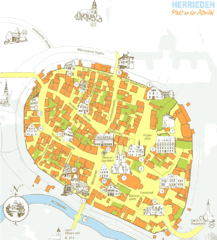
Herrieden Map
Street map of town center of Herrieden
454 miles away
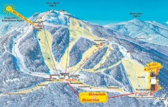
Arber Ski Trail Map
Trail map from Arber.
454 miles away
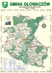
Gmina Glowaczow - Mazovia PL Map
That is a Głowaczów commune / Mazovia PL wall map. Created with use of GlobalMapper...
455 miles away
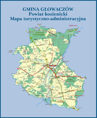
GLOWACZOW commune, PL Map
GLOWACZOW commune map, PL Ed. 2010 All data verified
455 miles away
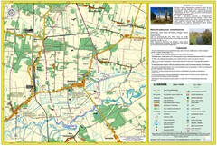
Bartodzieje_Village_Jastrzebia_Poland_streetmap...
Map of Bartodzieje_Village_Jastrzebia_Poland_streetmap.pdf is a street informative map of dimension...
456 miles away
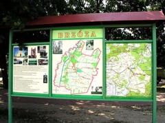
Brzoza_Glowaczow_Poland.jpg Map
Street map of Brzoza_Glowaczow_Poland.jpg - a "heavy-duty" street map after 6 years on...
456 miles away
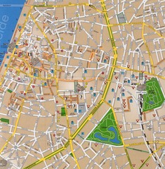
Antwerp Tourist Map
Tourist map of central Antwerp, Belgium. Scanned.
456 miles away
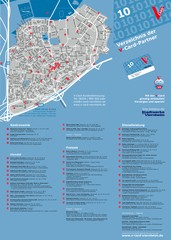
Viernheim Tourist Map
Tourist map of city of Viernheim
456 miles away

RadomkaRiver-kayaking Map
Radomka River - kayaking map Checked on field and verified map of Radomka River from Brzoza to...
457 miles away
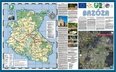
Brzoza_Glowaczow_Poland - 2000 x 1250.PNG Map
Map of Brzoza_Glowaczow_Poland - 2000 x 1250.PNG is special project dedicated to school in Brzoza...
457 miles away
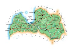
Latvia Map
458 miles away
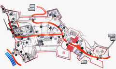
Vysehrad Tourist Map
458 miles away
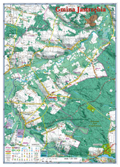
Jastrzebia commune 3D Map
Jastrzebia commune - 3D map Ed. 2010 Projection UTM/WGS84 Scale 1:25 000 Mede with extensive use...
460 miles away
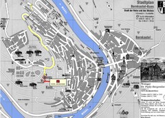
Bernkastel City Map
City map of Bernkastel-Kues with hotels and attractions
460 miles away
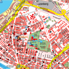
Mannheim Tourist Map
Tourist map of central Mannheim, Germany. Shows points of interest.
460 miles away
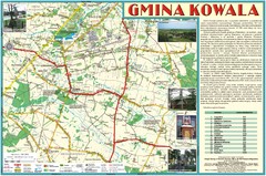
Kowala_Mazovia_poland.jpg Map
Map of Kowala_Mazovia_poland.jpg is a Kowala commune map, created with use of GlobalMapper and...
461 miles away
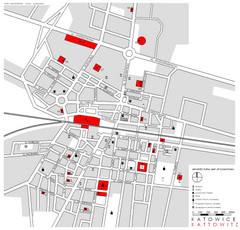
Kattowitz Tourist Map
Tourist map of Kattowitz, Poland. Shows points of interest.
461 miles away
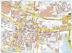
Katowice Tourist Map
Tourist map of central Katowice, Poland. Shows points of interest.
461 miles away

