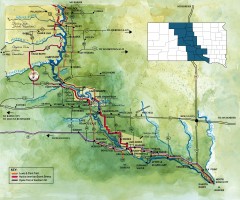
Great Lakes of South Dakota Map
Shows "the other Great Lakes" stretching along the Missouri River in South Dakota. Shows...
449 miles away
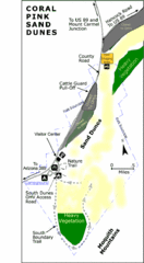
Coral Pink Sand Dunes State Park Map
Rippling arcs of rust-colored sand welcome you as you enter Coral Pink Sand Dunes State Park...
449 miles away
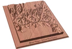
North Rim of the Grand Canyon carved by...
Grand Canyon carved by CarvedMaps.com. They specialize in hard wood carved maps of anywhere within...
449 miles away
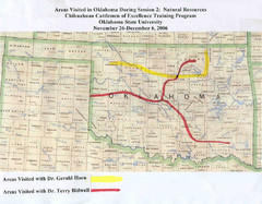
Oklahoma County Map
450 miles away
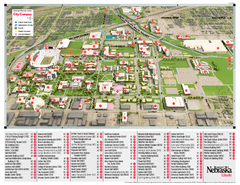
University of Nebraska - Lincoln Map
Campus Map of the University of Nebraska - Lincoln Campus. All areas shown.
450 miles away
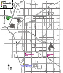
Lincoln, Nebraska City Map
450 miles away
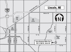
Lincoln, Nebraska Map
451 miles away
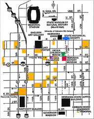
Downtown Lincoln, Nebraska Map
Red is the Nebraska History Museum. School bus parking is on the west side of 15th Street in front...
451 miles away
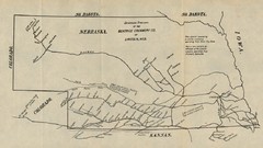
Skimming Stations of the Beatrice Creamery...
"Skimming Stations of the Beatrice Creamery Co. of Lincoln, Neb." From Report of the...
451 miles away
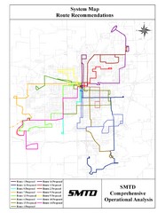
Lincoln Bus Map
451 miles away
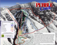
Pebble Creek Ski Trail Map
Official ski trail map of Pebble Creek ski area
452 miles away
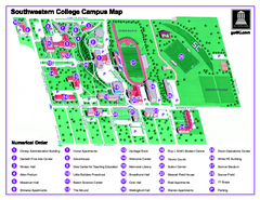
Southwestern College Campus Map
Southwestern College Campus Map. Shows all buildings.
452 miles away
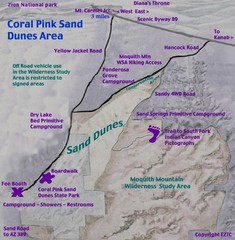
Coral Pink Sand Dunes Map
452 miles away
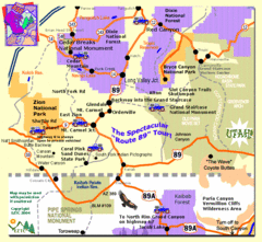
Zion National Park Tourist Map
454 miles away
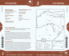
Little Elden Trail Map
Guide to Little Elden Trail near Flagstaff, AZ
455 miles away
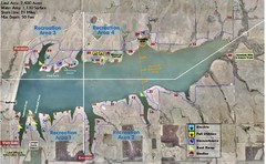
Winfield City Lake Map
Recreation map of Winfield City Lake in Winfield, Kansas. Named Timber Creek Lake. Shows camping...
455 miles away
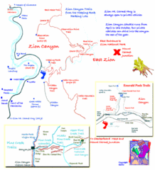
Zion National Park Trails Map
455 miles away
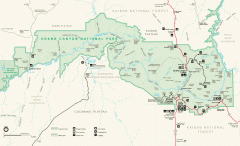
Grand Canyon National Park map
Official map of Grand Canyon National Park. Currently not available on the NPS website
456 miles away
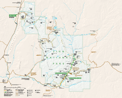
Zion National Park Official map
Official park map of Zion National Park. Shows trails, roads, and all park facilities.
457 miles away

Arizona Snowbowl Ski Trail Map
Official ski trail map of Arizona Snowbowl ski area
457 miles away

Little Big Horn Battlefield National Monument Map
Official NPS map of the Little Big Horn Battlefield National Monument. This area memorializes...
458 miles away
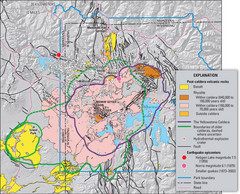
Yellowstone Geologic Map
Guide to geology, volcanic and earthquake activity and caldera outlines in Yellowstone National Park
458 miles away
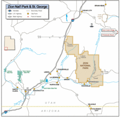
Zion National Park Highway Map
Highways, roads, cities and points of interest are marked on this clear map.
458 miles away
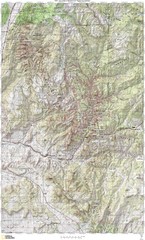
Zion National Park Topography Map
458 miles away
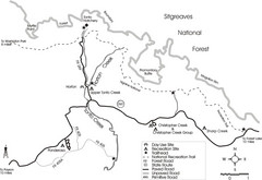
Tonto Creek in Tonto National Forest Map
Printable map for Tonto Creek area of Tonto National Forest with creek and amenenties shown on map.
459 miles away
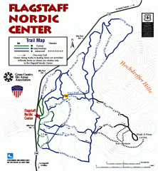
Flagstaff Nordic Center Trail Map
Official ski trail map of Flagstaff Nordic Center
459 miles away
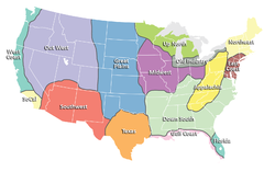
Regions of the United States Map
Appalachia- Hills, hills and more hills. Appalachian landforms contribute to landscapes of...
459 miles away

Zion Canyon Map
A detailed map of the Zion Canyon in Zion National Park
459 miles away
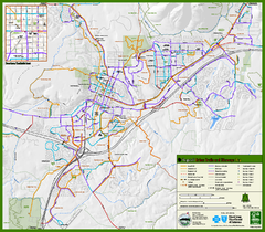
Flagstaff Urban Trails and Bikeways Map
460 miles away
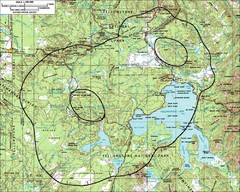
Yellowstone Lake Topographic Map
Topographic guide to Yellowstone Lake in Yellowstone National Park
460 miles away
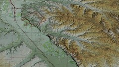
Custer Battlefield Oblique Map
460 miles away
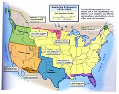
American Expansion 1818-1853 Map
Shows the four major steps through which the US gained most of it's western land between 1818...
460 miles away
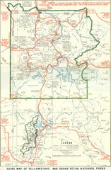
1929 Yellowstone and Grand Teton National Parks...
Map of older smaller boundaries of both national parks
461 miles away
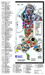
Northern Arizona University Map
Northern Arizona University Campus Map. All buildings shown.
461 miles away
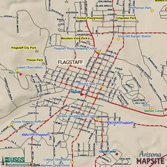
Flagstaff, Arizona City Map
461 miles away
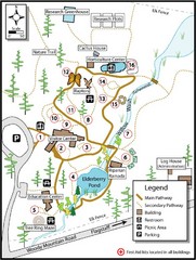
Flagstaff Arboretum Map
461 miles away
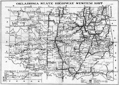
Oklahoma State Highway Map
Highway Map of Oklahoma State circa 1927. Includes all main roads and highways up to state...
464 miles away
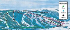
Kelly Canyon Ski Area Ski Trail Map
Trail map from Kelly Canyon Ski Area, which provides downhill, night, and terrain park skiing. It...
465 miles away
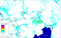
Bison Travel in Yellowstone National Park Map
General bison travel in Yellowstone National Forest, Wyoming
467 miles away

