
El Presidio de Santa Barbara State Park Map
157 miles away

Santa Barbara Area Map
157 miles away
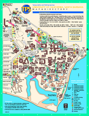
University of California at Santa Barbara Map
University of California at Santa Barbara Campus Map. All buildings shown.
157 miles away
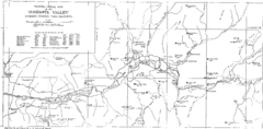
Yosemite Valley Map
Map of the valley and key elevations
157 miles away
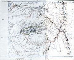
Proposed Yosemite National Park Map 1890
John Muir's map of proposed Yosemite National Park, California. Green is the original 1864...
157 miles away
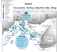
Yosemite Valley Shuttle Map
157 miles away

Sierra High Route Map
Guide to the Sierra High Route, one of the most challenging treks in the Sierras
157 miles away
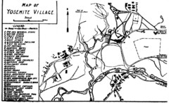
Yosemite Village Guide Map
158 miles away
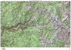
Island Pass to Yosemite Village Topo Map
158 miles away
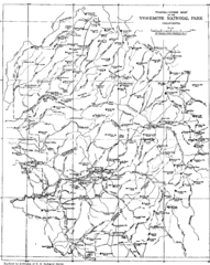
Yosemite Park Map (before development)
Map of Yosemite Park before valley development, showing only Portal Road
158 miles away

Lake Ming Area Map
Lake Ming is located 10 miles northeast of Bakersfield, off of Hwy. 178 along Alfred Harrell Hwy...
158 miles away
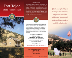
Fort Tejon State Historic Park Map
Map of park with detail of trails and recreation zones
158 miles away

Lower Kern River Map
This portion of the Kern River extends from the Lower Richbar picnic area to Hart Park. Although...
158 miles away
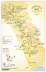
Sonoma Valley Winery Map
High quality map of Sonoma Valley wineries from the vinters and growers. Shows all key roads and...
159 miles away
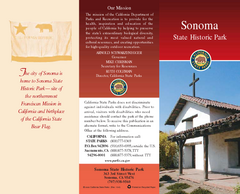
Sonoma State Historic Park Map
Map of park with detail of trails and recreation zones
159 miles away
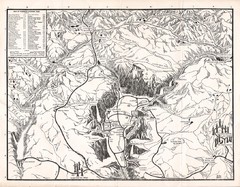
Yosemite National Park Map
Map of Yosemite National Park, 1948
160 miles away
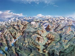
Yosemite oblique Map
Oblique Panorama map of Yosemite National Park
161 miles away
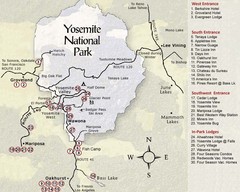
Yosemite National Park Map
161 miles away
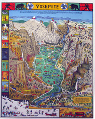
Yosemite National Park Visitor Map
Colorful Visitor Map of Yosemite National Park. Illustrates location of hiking trails, camp...
161 miles away
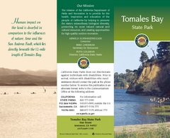
Tomales Bay State Park Map
Map of park with detail of trails and recreation zones
161 miles away

Yosemite National Park Guide Map
Guide map of Yosemite National Park
161 miles away
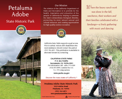
Petaluma Adobe State Historic Park Map
Map of park with detail of trails and recreation zones
162 miles away
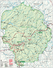
Yosemite National Park official map
Official park map showing trails, roads, campgrounds, ranger stations, parking, picnic areas, and...
162 miles away
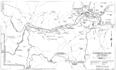
Yosemite Valley Automobile Guide Map 1963
Yosemite Valley and Vicinity with Elevations
162 miles away
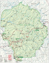
Yosemite National Park Map
Detailed Park Map of Yosemite National Park. Includes all camping areas, trails, roads...
163 miles away
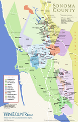
Sonoma Country Wine Map
Wine map of Sonoma, California area. Shows all vineyards.
164 miles away
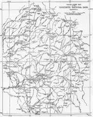
1914 Yosemite National Park Map
164 miles away
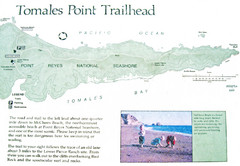
Tomales Point Trail Map
Map of the trail to Tomales Point in Point Reyes National Seashore, California. Also shows trail...
164 miles away
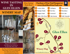
Glen Ellen Wine Tasting Map
164 miles away
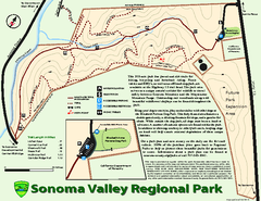
Sonoma Valley Regional Park Map
Trail map of 202 acre Sonoma Valley Regional Park.
164 miles away
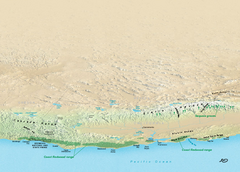
California Redwood Range Map
NPS prospective map of the coastal redwoord range in California, extending from Santa Cruz north to...
164 miles away
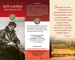
Jack London State Historic Park Map
Map of park with detail of trails and recreation zones
165 miles away
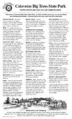
Calaveras Big Trees State Park Map
Map of park with detail of trails and recreation zones
165 miles away
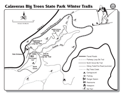
Calaveras Big Trees State Park Winter Map
Map of park with detail of winter ski trails and recreation zones
165 miles away
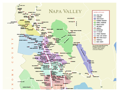
Napa County Wineries, California Map
Map of wineries in Napa County, California. Shows wineries and appellations.
165 miles away
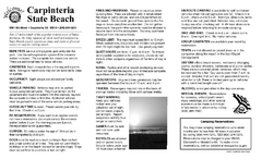
Carpinteria State Beach Campground Map
Map of park with detail of trails and recreation zones
165 miles away
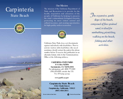
Carpinteria State Beach Map
Map of beach with detail of trails and recreation zones
166 miles away

Yosemite Valley Park Map
Guide Map of the Yosemite National Forest
166 miles away
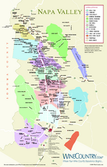
Napa Valley Wine Map
Wine map of Napa Valley, Napa, California. Shows all vineyards and shading by appellations from...
166 miles away
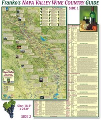
Napa Valley Wine Country Guide Map
Map of the Napa Valley Wine Country. With over 250 local Wineries listed. Printed on waterproof...
167 miles away

