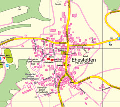
Ehestetten Map
Street map of Ehestetten
415 miles away
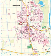
Dietenheim Map
Street map of Dietenheim
416 miles away
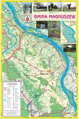
Magnuszew Commyne - Touristic map
Magnuszew commune - touristic, folded map.
416 miles away
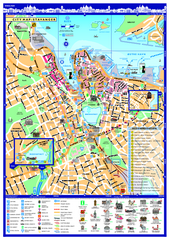
Stavanger City Map
Tourist map of Stavanger, Norway city center. Shows points of interest, accommodations, and...
416 miles away
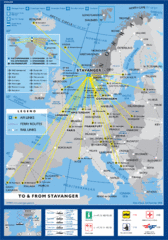
Air, Ferry and Rail Links to Stavanger Map
416 miles away
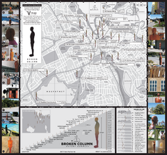
Antony Gormley - Broken Column - Stavanger Map
Broken Column sculptures by Antony Gormley. 23 site-specific placements of identical sculptures...
416 miles away
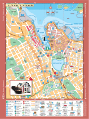
Stavanger Tourist Map
Tourist map of downtown Stavanger, Norway. Shows major buildings.
416 miles away
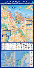
Stavanger Tourist Map
Tourist map of central Stavanger, Norway. Shows accommodations and other points of interest.
416 miles away
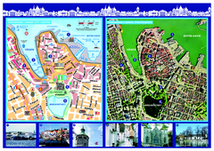
Stavanger City Center Aerial and Street Map
Tourist map of Stavanger, Norway. Shows street map and aerial photo map.
416 miles away

Beach Volleyball Swatch FIVB '09 World...
Shows all beach volleyball courts and tourist information for the Beach Volleyball Swatch FIVB...
417 miles away
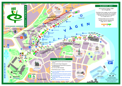
Gladmat Food Festival Map
Festival map of Gladmat from 2009. From the map: "More than 200,000 Norwegian and...
417 miles away
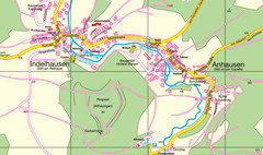
Indelhausen / Anhausen Map
Map of towns of Indelhausen & Anhausen
417 miles away
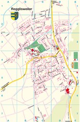
Regglisweiler Map
Map of town of Regglisweiler
417 miles away
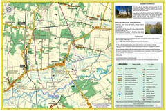
Bartodzieje_Village_Jastrzebia_Poland_streetmap...
Map of Bartodzieje_Village_Jastrzebia_Poland_streetmap.pdf is a street informative map of dimension...
418 miles away
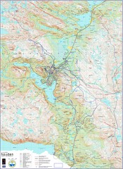
Hovden Norway Trail Map
Hovden has a total of 170 km cross-country skiing trails
419 miles away
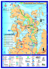
Stavanger Area Map
Tourist map of the area surrounding Stavanger, Norway. Shows accommodations and other points of...
419 miles away
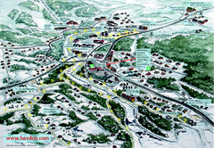
Hovden Town Map
Village map of Hovden, Norway. Panoramic view shows tourist buildings and lighted cross country...
419 miles away
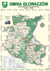
Gmina Glowaczow - Mazovia PL Map
That is a Głowaczów commune / Mazovia PL wall map. Created with use of GlobalMapper...
420 miles away
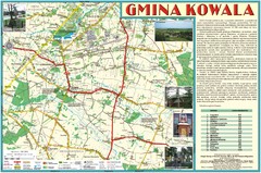
Kowala_Mazovia_poland.jpg Map
Map of Kowala_Mazovia_poland.jpg is a Kowala commune map, created with use of GlobalMapper and...
420 miles away
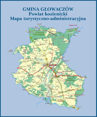
GLOWACZOW commune, PL Map
GLOWACZOW commune map, PL Ed. 2010 All data verified
420 miles away
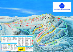
Hovden Skisenter Ski Trail Map
Ski trail map of Hovden Skisenter, Hovden, Norway.
420 miles away
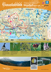
Skipsfjellet Hiking Map
Hiking trail map of Skipsfjell, Norway near Rjukan, Norway. Shows moderate 2 hour loop hike and...
421 miles away

Lauterbad, Germany Map
421 miles away
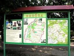
Brzoza_Glowaczow_Poland.jpg Map
Street map of Brzoza_Glowaczow_Poland.jpg - a "heavy-duty" street map after 6 years on...
421 miles away
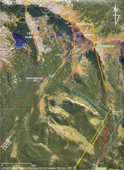
Tatras Map
The Tatras - rocks, landforms, weathering and soils field trip map with sites identified.
421 miles away
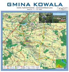
Kowala Commune - near Radom, PL Map
Kowala-Stepocina Commune - the administrative and touristic wall map, scala 1:12500, with 3D effect...
421 miles away
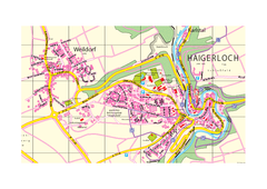
Haigerloch & Weildorf Map
Map of Haigerloch / Weildorf area
421 miles away
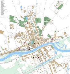
Landsberg Map
Street map of city of Landsberg
422 miles away
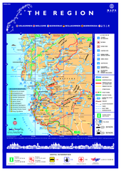
Stavanger Region Tourist Map
Tourist map of the Stavanger, Norway region. Shows points of interest.
422 miles away
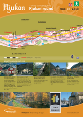
Rjukan Walking Map
Walk route map in Rjukan, Norway. Shows natural and cultural history and photos.
422 miles away

RadomkaRiver-kayaking Map
Radomka River - kayaking map Checked on field and verified map of Radomka River from Brzoza to...
422 miles away
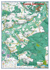
Jastrzebia commune 3D Map
Jastrzebia commune - 3D map Ed. 2010 Projection UTM/WGS84 Scale 1:25 000 Mede with extensive use...
422 miles away
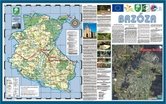
Brzoza_Glowaczow_Poland - 2000 x 1250.PNG Map
Map of Brzoza_Glowaczow_Poland - 2000 x 1250.PNG is special project dedicated to school in Brzoza...
422 miles away
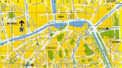
North Bruges Map
Map of northern part of Bruges city
422 miles away
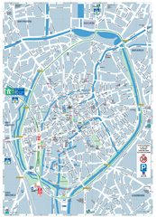
Brugge Tourist Map
Tourist map of Brugges, Belgium. Shows buildings and streets.
423 miles away
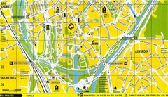
South Bruges Map
Map of the southern part of Bruges city
423 miles away

