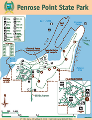
Penrose Point State Park Map
Map of park with detail of trails and recreation zones
1173 miles away
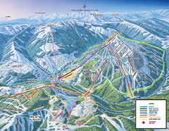
Yellowstone Club Ski Trail Map
Trail map from Yellowstone Club, which provides terrain park skiing. It has 15 lifts servicing 60...
1173 miles away
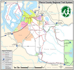
Pierce County Regional Trail Map
County-wide system of trails
1173 miles away
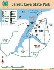
Jarrell Cove State Park Map
Map of park with detail of trails and recreation zones
1173 miles away
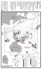
Bear Head Lake State Park Map
Map of park with detail of trails and recreation zones
1174 miles away
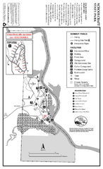
Schoolcraft State Park Map
map of park with detail of trails and recreation zones
1175 miles away
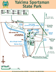
Yakima Sportsman State Park Map
Map of park with detail of trails and recreation zones
1175 miles away

Yakima, Washington City Map
1175 miles away
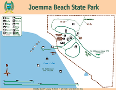
Joemma Beach State Park Map
Map of park with detail of trails and recreation zones
1176 miles away
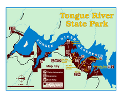
Tongue River Reservoir State Park Map
The 12-mile long reservoir is situated among scenic red shale, juniper canyons, and the open...
1176 miles away
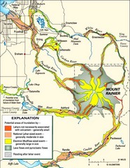
Mount Rainier Potential Lava Flow, Mud Flow and...
Hazard zones for lahars, lava flows, and pyroclastic flows from Mount Rainier. The map shows areas...
1176 miles away
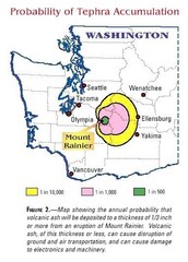
Mount Rainier Probability of Tephra (Ash...
1176 miles away
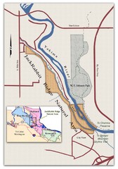
JackRabbit Ridge Natural Area Map
Shows urban wildlands
1177 miles away
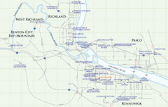
Kennewick Hotel Map
1178 miles away

Lookout Mountain Lookout Mt Ski Trail Map
Trail map from Lookout Mountain. This ski area opened in 1958.
1178 miles away
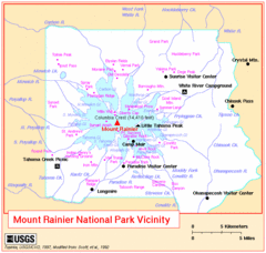
Mount Rainier National Park Vicinity Map
1178 miles away
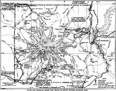
1928 Mount Rainier National Park Map
Guide to Mount Rainier National Park in 1938
1178 miles away
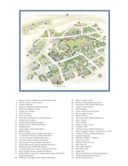
Whitman College Campus Map
Campus map of Whitman College in Walla Walla, WA
1178 miles away
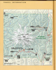
Mount Rainier National Park Map
Guide to the Mount Rainier National Park
1179 miles away
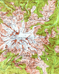
Mount Rainier Topographic Map
Guide to topography and glaciers of Mount Rainier
1179 miles away
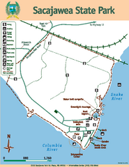
Sacajawea State Park Map
Map of park with detail of trails and recreation zones
1179 miles away
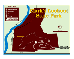
Clark's Lookatout State Park Map
Clearly marked State Park Map.
1180 miles away
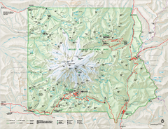
Mount Rainier National Park map
Official NPS map of Mt. Rainier National Park. Shows the entire park and surroundings
1180 miles away

City of Kennewick Map
Simple road map of Kennewick.
1180 miles away
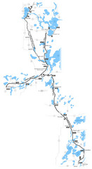
Paul Bunyan Trail Map
1180 miles away

Mt. Rainier 3D Print Map
This is a 3D-printed map of the cone of Mt. Rainier in Washington, USA, including Liberty Cap, many...
1180 miles away
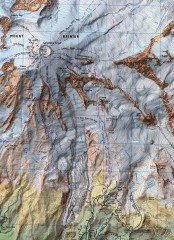
Mt. Rainier Climbing Routes Map
Shows major climbing routes on Mt. Rainier on southwest part of mountain.
1181 miles away
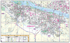
Kennewick, Washington City Map
1182 miles away
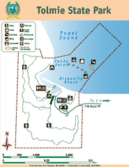
Tolmie State Park Map
Map of park with detail of trails and recreation zones
1182 miles away
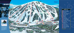
Giants Ridge Resort Ski Trail Map
Trail map from Giants Ridge Resort, which provides downhill, night, nordic, and terrain park skiing...
1182 miles away
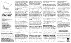
Maplewood State Park Winter Map
Winter seasonal map of park with detail of trails and recreation zones
1182 miles away

Pierce County Washington Map, 1909 Map
1182 miles away
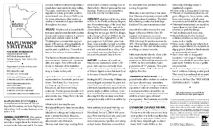
Maplewood State Park Summer Map
Summer seasonal map of park with detail of trails and recreation zones
1183 miles away
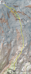
Mount Rainier Climbing Map
Guide to climbing Mount Rainier, Camp Muir Route
1183 miles away
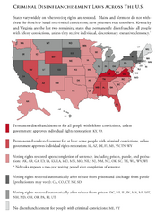
Criminal Disenfranchisement Laws in the U.S. Map
For a state-by-state guide on felony.
1183 miles away
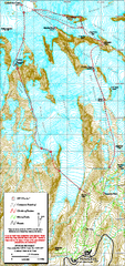
Mount Rainier Paradise Climbing Route map
Map shows all hiking and climbing routes originating from Paradise at 5,400 ft.
1183 miles away
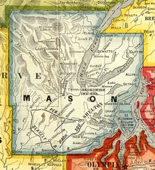
Mason County Washington, 1909 Map
1184 miles away
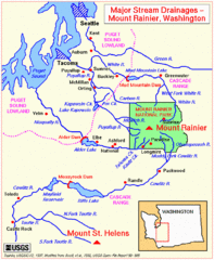
Mount Rainier Major Stream Drainages Map
1184 miles away
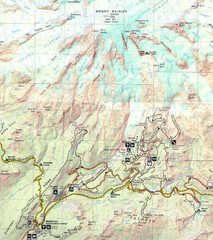
Pinnacle Saddle Trail Map
1184 miles away
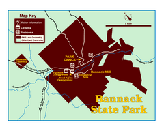
Bannack State Park Map
1187 miles away

