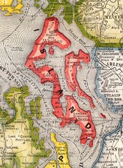
Island County Washington, 1909 Map
1145 miles away
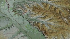
Custer Battlefield Oblique Map
1145 miles away
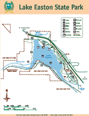
Lake Easton State Park Map
Map of island with detail of trails and recreation zones
1145 miles away
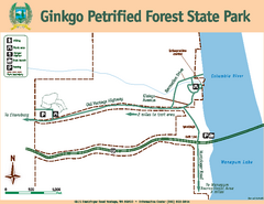
Ginkgo Petrified Forest State Park Map
Map of park with detail of trails and recreation zones
1145 miles away
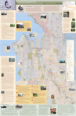
Duwamish River Community Map
This is a printed map, 32" X 40", created for the Duwamish River Cleanup Coalition in...
1146 miles away
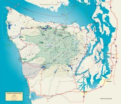
Olympic National Park and Peninsula Map
Guide to the Olympic National Park and surrounding region
1146 miles away

Little Big Horn Battlefield National Monument Map
Official NPS map of the Little Big Horn Battlefield National Monument. This area memorializes...
1147 miles away
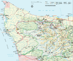
Olympic National Park Map
1147 miles away
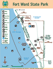
Fort Ward State Park Map
Map of park with detail of trails and recreation zones
1147 miles away
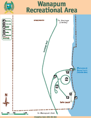
Wanapum Recreational Area Map
Map of park with detail of trails and recreation zones
1148 miles away
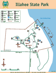
Illahee State Park Map
Map of park with detail of trails and recreation zones
1148 miles away
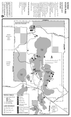
Scenic State Park Winter Map
Winter seasonal map of park with detail of trails and recreation zones
1148 miles away
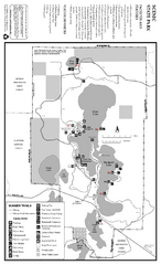
Scenic State Park Summer Map
Summer seasonal map of park with detail of trails and recreation zones
1148 miles away
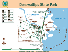
Dosewallips State Park Map
Map of park with detail of trails and recreation zones
1148 miles away
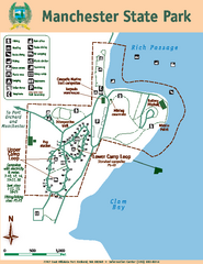
Manchester State Park Map
Map of park with detail of trails and recreation zones
1149 miles away
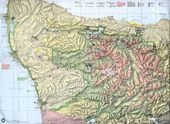
Olympic National Park Map
1149 miles away
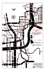
Renton WA Traffic Flow Map
City of Renton, WA traffic flow map
1149 miles away
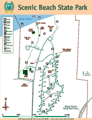
Scenic Beach State Park Map
Map of park with detail of trails and recreation zones
1150 miles away
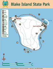
Blake Island State Park Map
Map of park with detail of trails and recreation zones
1150 miles away
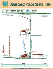
Olmstead Place State Park Map
Map of park with detail of trails and recreation zones
1151 miles away
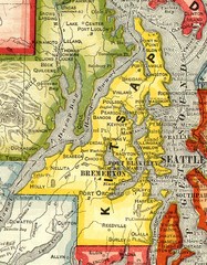
Kitsap County Washington, 1909 Map
1151 miles away
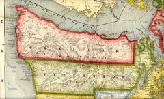
Clallam and Jefferson Counties Washington, 1909...
1151 miles away
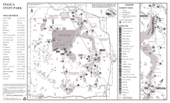
Itasca State Park Summer Map
Map of park with detail of trails and recreation zones
1151 miles away
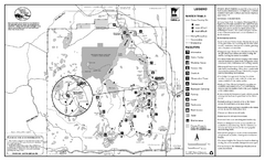
Itasca State Park Winter Map
Winter seasonal map of park with detail of trails and recreation zones
1151 miles away
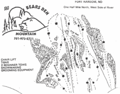
Bears Den Mountain Ski Trail Map
Trail map from Bears Den Mountain.
1152 miles away
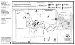
Buffalo River State Park Map
Map of park with detail of trails and recreation zones
1152 miles away
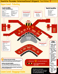
SeaTac Airport Map
1152 miles away
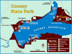
Cooney State Park Map
Simple and clear State Park Map.
1153 miles away
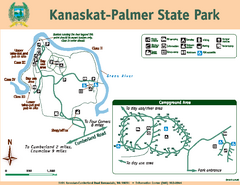
Kanaskat-Palmer State Park Map
Map of park with detail of trails and recreation zones
1153 miles away
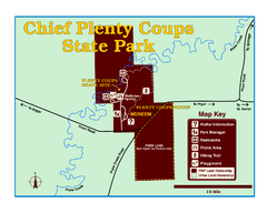
Chief Plenty Coups State Park Map
Simple and clear map of State Park.
1154 miles away
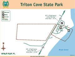
Triton Cove State Park Map
Map of park with detail of trails and recreation zones
1155 miles away

Tourist map of Downtown Des Moines, Washington
Tourist map of Downtown Des Moines, Washington. Shows all businesses.
1155 miles away

Des Moines Washington tourist map
Tourist map of Des Moines, Washington, including Kent and SeaTac airport.
1155 miles away
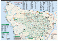
Olympic National Park wilderness campsite map
Official wilderness campsite map of Olympic National Park. Shows roads, trails, visitor...
1156 miles away
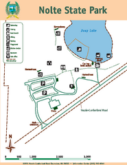
Nolte State Park Map
Map of park with detail of trails and recreation zones
1157 miles away
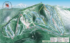
Lost Trail Powder Mountain Ski Trail Map
Official ski trail map of Lost Trail Powder Mountain ski area
1157 miles away
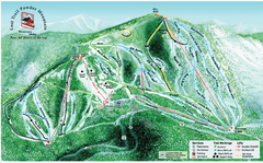
Lost Powder Mountain Ski Trail Map
Trail map from Lost Trail Powder Mountain.
1157 miles away

Gull Bay First Nation route map
A simple route map that tells you how to get to Gull Bay First Nation in Northren Ontario. For...
1158 miles away
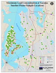
Tacoma Lead Concentration Map
A map of maximum lead concentrations near Tacoma.
1158 miles away

Ontario Regional Trail Committee Boundaries Map
Sources: TCT, DMTI Spatial., MNR Projection: UTM, NAD83. Produced by the TCT in Montreal, October...
1159 miles away

