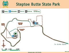
Steptoe Butt State Park Map
Map of park with detail of trails and recreation zones
1101 miles away
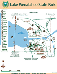
Lake Wenatchee State Park Map
Map of island with detail of trails and recreation zones
1101 miles away
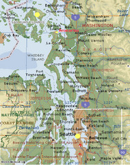
Washington State - West Coast Map
Washington State - West Coast Map
1101 miles away
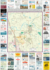
Arlington tourist map
Tourist map of Arlington, Washington. Shows all businesses.
1102 miles away
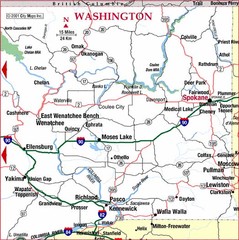
Eastern Washington Road Map
1102 miles away

rthsaanich.ca District Map
1102 miles away

Big Bog State Park Map
Map of park with detail of trails and recreation zones
1102 miles away
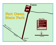
Fort Owen State Park Map
Fort Owen’s adobe and log remains preserves the site of the first permanent white settlement...
1102 miles away
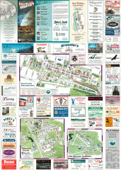
Arlington and Smokey Point tourist map
Tourist map of Arlington and Smokey Point, Washington. Shows all businesses.
1103 miles away
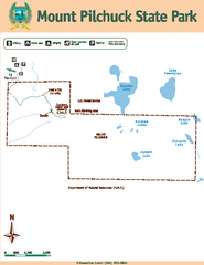
Mount Pilchuck State Park Map
Map of park with detail of trails and recreation zones
1104 miles away
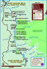
Smith River State Park Map
The Smith River is a unique 59-mile river corridor. Permits are required to float the stretch of...
1105 miles away
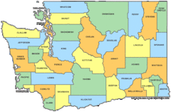
Washington State Counties Map
1105 miles away
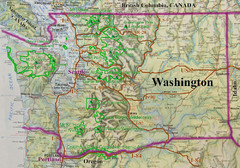
Washington State Road and Recreation Map
1105 miles away
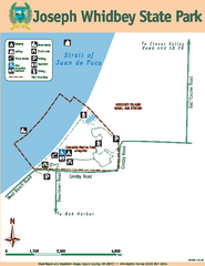
Joseph Whidbey State Park Map
Map of park with detail of trails and recreation zones
1105 miles away

Oak Harbor tourist map
Tourist map of Oak Harbor, Washington. Shows all businesses.
1105 miles away

Galloping Goose and Lochside Regional Trails Map
1106 miles away
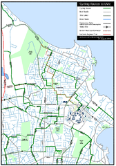
Cycling routes to UVic Map
Bike Route Map of Local Area around UVic © 2007, University of Victoria Updated 17 April...
1106 miles away
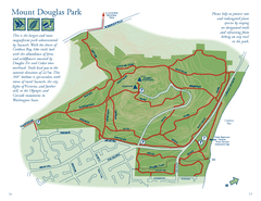
Mount Douglas Park Map
1107 miles away
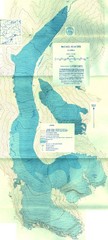
McCall Glacier Topo Map
Topographic map of the McCall Glacier in Alaska.
1107 miles away
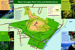
Mount Douglas Park Trails and Habitat Zones Map
1107 miles away
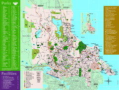
Full Map of Saanich Parks & Trails 2012
Full Map of Saanich Parks & Trails 2012
1107 miles away
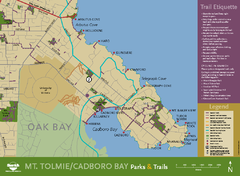
Mt. Tolmie & Cadboro Bay Map
Section of larger map, showing Seaside Touring Route and other regional and local cycling routes...
1107 miles away
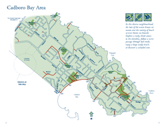
Cadboro Bay Area Map
1108 miles away
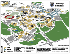
University of Victoria - Cycling Amenities Map
Showing the various cycling related amenities ie. Covered Bicycle Parking, bicycle lockers...
1108 miles away
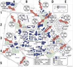
UVic Bicycle Access Patterns 2010 Map
Showing bicycle usage statistics
1108 miles away
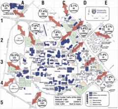
UVic Bicycle Access Patterns 2008 Map
Showing bicycle usage statistics
1108 miles away
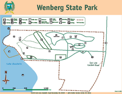
Wenberg State Park Map
Map of park with detail of trails and recreation zones
1108 miles away

Mount Tolmie Park Map
1108 miles away
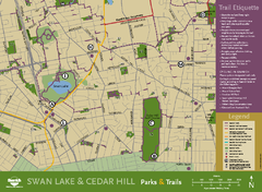
Swan Lake & Cedar Hill Area Map
Swan Lake & Cedar Hill Parks & Trails
1109 miles away
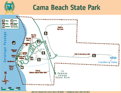
Cama Beach State Park Map
Map of park with detail of trails and recreation zones
1110 miles away
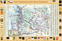
Washington State Winery Map
Washington State Winery Map
1110 miles away

Coupeville tourist map
Tourist map of Coupeville, Washington. Shows all businesses.
1111 miles away
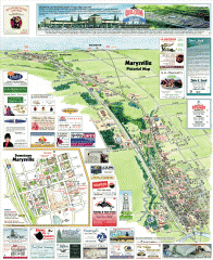
Marysville tourist map
Tourist map of Marysville, Washington. Shows all businesses.
1111 miles away
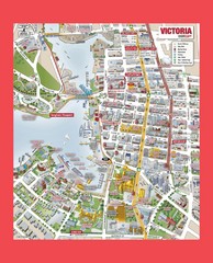
Victoria City Tourist Map
Tourist map of Victoria City on Vancouver Island, BC
1111 miles away
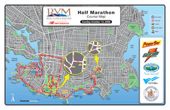
2008 Royal Victoria Half Marathon Map
Course Map for the Royal Victoria Half Marathon. Held Sunday, October 12, 2008
1111 miles away
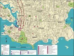
Victoria, British Columbia Tourist Map
1111 miles away

