
 Edit this map

UVic Bicycle Access Patterns 2008 Map
near saanich, bc

 See more

Nearby Maps
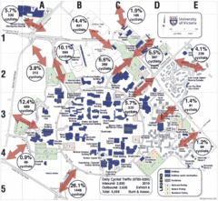
UVic Bicycle Access Patterns 2010 Map
Showing bicycle usage statistics
less than 1 mile away
Near saanich, bc
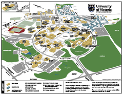
University of Victoria - Cycling Amenities Map
Showing the various cycling related amenities ie. Covered Bicycle Parking, bicycle lockers...
less than 1 mile away
Near saanich, bc
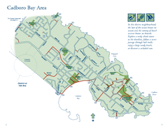
Cadboro Bay Area Map
less than 1 mile away
Near Victoria, BC

Mount Tolmie Park Map
less than 1 mile away
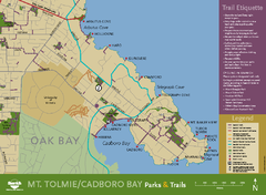
Mt. Tolmie & Cadboro Bay Map
Section of larger map, showing Seaside Touring Route and other regional and local cycling routes...
1 mile away
Near saanich, bc

 See more


 Explore Maps
 Map Directory
 click for
 Fullsize

0 Comments
New comments have been temporarily disabled.