
Orcas tourist map
Tourist map of Orcas, Washington. Shows all businesses.
1785 miles away

Welcome to Esquimalt Parks and Recreation...
1785 miles away
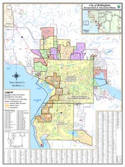
Bellingham, Washington City Map
1785 miles away

Mount Tolmie Park Map
1785 miles away
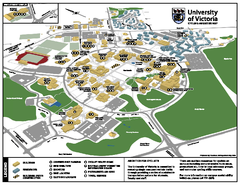
University of Victoria - Cycling Amenities Map
Showing the various cycling related amenities ie. Covered Bicycle Parking, bicycle lockers...
1785 miles away

Canyon Ski Area Ski Trail Map
Trail map from Canyon Ski Area, which provides downhill skiing. This ski area has its own website.
1785 miles away
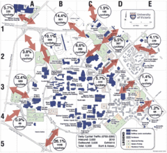
UVic Bicycle Access Patterns 2010 Map
Showing bicycle usage statistics
1785 miles away
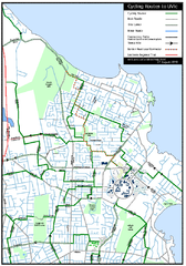
Cycling routes to UVic Map
Bike Route Map of Local Area around UVic © 2007, University of Victoria Updated 17 April...
1785 miles away
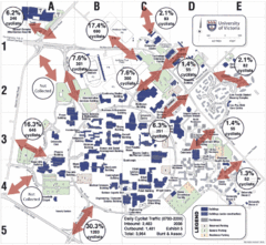
UVic Bicycle Access Patterns 2008 Map
Showing bicycle usage statistics
1785 miles away
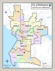
Bellingham Ward Map
Guide to wards in Bellingham, WA
1785 miles away
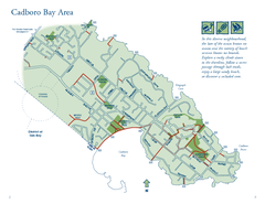
Cadboro Bay Area Map
1785 miles away
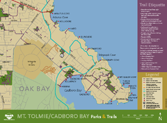
Mt. Tolmie & Cadboro Bay Map
Section of larger map, showing Seaside Touring Route and other regional and local cycling routes...
1786 miles away
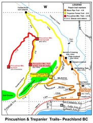
Peachland Walks Map
Guide to Pincushion and Trepanier Trails in Peachland, BC
1786 miles away
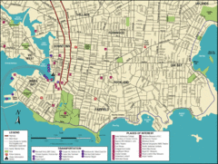
Victoria, British Columbia Tourist Map
1786 miles away
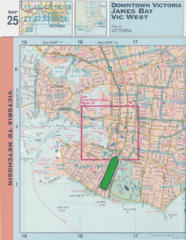
Downtown Victoria, British Columbia Tourist Map
1786 miles away
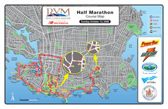
2008 Royal Victoria Half Marathon Map
Course Map for the Royal Victoria Half Marathon. Held Sunday, October 12, 2008
1786 miles away
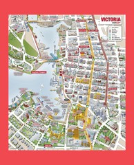
Victoria City Tourist Map
Tourist map of Victoria City on Vancouver Island, BC
1786 miles away

San Juan Island tourist map
San Juan Island and Friday Harbor tourist map. Shows all businesses.
1786 miles away

Shuttle to Town Map
1786 miles away
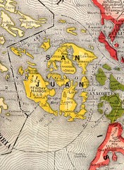
San Juan County Washington, 1909 Map
1786 miles away
BEACON HILL PARK MAP
1787 miles away
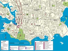
Downtown Victoria Map
1787 miles away
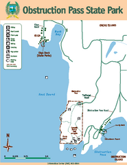
Obstruction Pass State Park Map
Map of park with detail of trails and recreation zones
1787 miles away
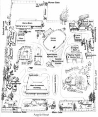
San Juan County Fair Map 2008
Fairgrounds map for the San Juan County Fair, Friday Harbor, Washington
1787 miles away

Canada's Import by Country (2003) Map
Cartograms are a great way to present statistical information. The size of each country is re-sized...
1788 miles away
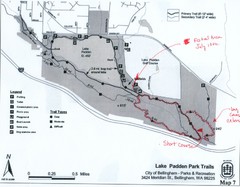
Lake Padden Park Trails Map
Course Elevation Map noted in handwriting on map. Festival location noted as well.
1789 miles away
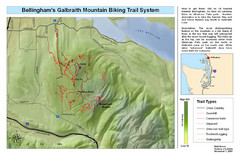
Bellingham Galbraith Mountain Biking Trail Map
Mountain biking trail map of Whatcom Falls Park near Bellingham, WA
1789 miles away
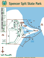
Spencer Spit State Park Map
Map of park with detail of trails and recreation zones
1790 miles away
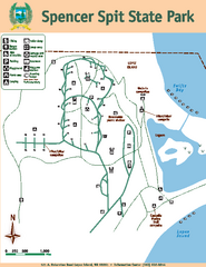
Spencer Spit State Park Map
Map of park with detail of trails and recreation zones
1790 miles away
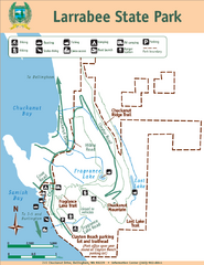
Larrabee State Park Map
Park map of Larrabee State Park, Washington.
1791 miles away
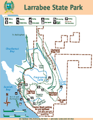
Larrabee State Park Map
Map of island with detail of trails and recreation zones
1791 miles away
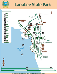
Larrabee State Park Map
Map of island with detail of trails and recreation zones
1791 miles away
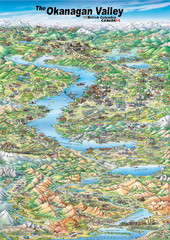
Pictorial map of the Okanagan Valley
1793 miles away
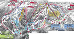
Mt. Baker Ski Area Ski Trail Map
Trail map from Mt. Baker Ski Area, which provides terrain park skiing. It has 10 lifts servicing 38...
1797 miles away
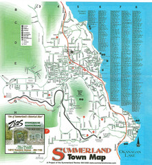
Summerland Town Map
Map of Summerland with details on outdoor-recreation locations and streets
1797 miles away
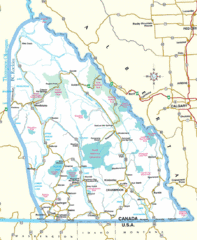
Kootenay Mountains Map
1797 miles away
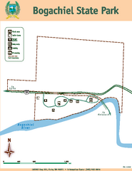
Bogachiel State Park Map
Map of park with detail of trails and recreation zones
1797 miles away
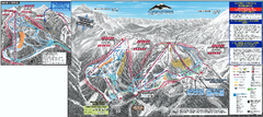
Mt. Baker Ski Trail Map
Official ski trail map of Mount Baker ski area from the 2007-2008 season.
1797 miles away
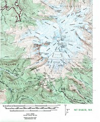
Mt. Baker Topo Map
Topo map of Mt. Baker, Washington, elevation 10,778ft.
1798 miles away
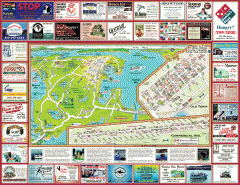
Anacortes tourist map
Tourist map of Anacortes, Washington. Shows recreation and points of interest.
1799 miles away

