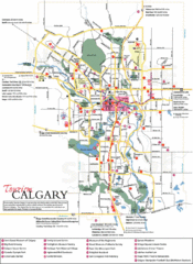
Calgary Map
1700 miles away
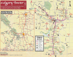
Calgary Tourist Map
Tourist map of Calgary, Canada. Shows points of interest. Scanned.
1700 miles away

Mt. Rainier 3D Print Map
This is a 3D-printed map of the cone of Mt. Rainier in Washington, USA, including Liberty Cap, many...
1701 miles away
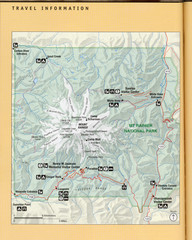
Mount Rainier National Park Map
Guide to the Mount Rainier National Park
1701 miles away
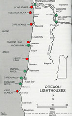
Lighthouses of the Oregon Coast Map
lighthouses (active, inactive, and destroyed) on the coast of Oregon (and the Columbia River)
1701 miles away
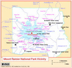
Mount Rainier National Park Vicinity Map
1701 miles away
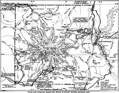
1928 Mount Rainier National Park Map
Guide to Mount Rainier National Park in 1938
1701 miles away
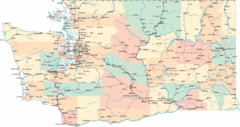
Washington Road Map
Road map of state of Washington
1701 miles away
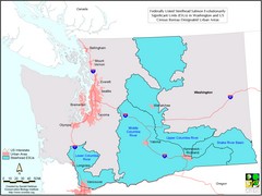
Washington Steelhead Salmon Map
Shows federally listed steelhead salmon evolutionarily significant units in Washington state.
1701 miles away
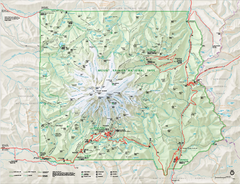
Mount Rainier National Park map
Official NPS map of Mt. Rainier National Park. Shows the entire park and surroundings
1701 miles away
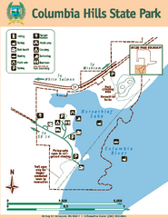
Columbia Hills State Park Map
Map of park with detail of trails and recreation zones
1702 miles away
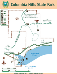
Columbia Hills State Park Map
Map of park with detail of trails and recreation zones
1703 miles away
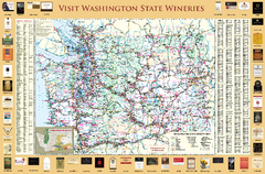
Washington State Winery Map
Washington State Winery Map
1703 miles away
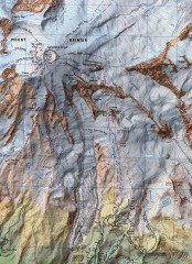
Mt. Rainier Climbing Routes Map
Shows major climbing routes on Mt. Rainier on southwest part of mountain.
1703 miles away
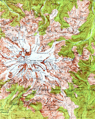
Mount Rainier Topographic Map
Guide to topography and glaciers of Mount Rainier
1703 miles away

Map of Canada Circa 1900
1703 miles away
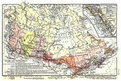
1911 Map of Canada and Newfoundland by Shepherd
This map was from the beautiful 1911 Historical Atlas by William R. Shepherd. Enjoy it!
1703 miles away
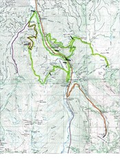
White River 50 Course Map
White River 50 Mile Trail Run
1703 miles away
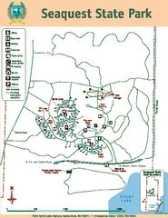
Seaquest State Park Map
Map of park with detail of trails and recreation zones
1703 miles away
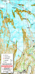
Mount Rainier Paradise Climbing Route map
Map shows all hiking and climbing routes originating from Paradise at 5,400 ft.
1704 miles away
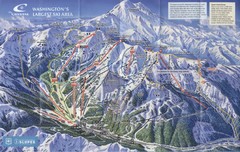
Crystal Mountain Resort Ski Trail Map
Trail map from Crystal Mountain Resort, which provides downhill skiing. It has 10 lifts servicing...
1704 miles away
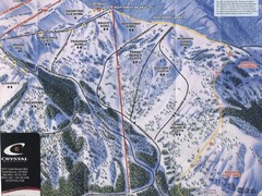
Crystal Mountain Resort Northway Inset Ski Trail...
Trail map from Crystal Mountain Resort, which provides downhill skiing. It has 10 lifts servicing...
1704 miles away
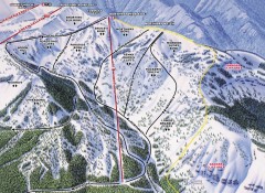
Crystal Mountain Ski Trail Map - Northway Area
Official ski trail map of the Northway area of Crystal Mountain ski area from the 2007-2008 season...
1704 miles away
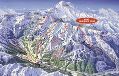
Crystal Mountain Ski Trail Map
Official ski trail map of Crystal Mountain ski area from the 2007-2008 season. 2600 acres of...
1704 miles away
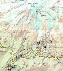
Pinnacle Saddle Trail Map
1705 miles away
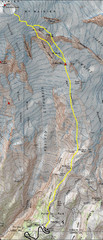
Mount Rainier Climbing Map
Guide to climbing Mount Rainier, Camp Muir Route
1706 miles away
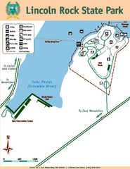
Lincoln Rock State Park Map
1708 miles away
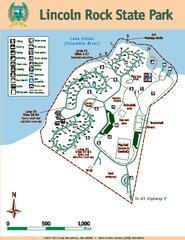
Lincoln Rock State Park Map
Map of park with detail of trails and recreation zones
1708 miles away
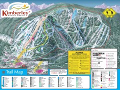
Kimberley Ski Trail Map
Official ski trail map of Kimberley ski area from the 2007-2008 season.
1711 miles away
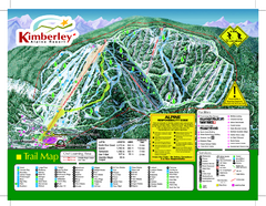
Kimberley Alpine Resort Ski Trail Map
Trail map from Kimberley Alpine Resort.
1711 miles away
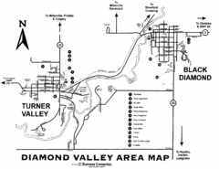
Diamond Valley Area Map
Map of Diamond Valley are, with Turner Valley & Black Diamond oil towns
1713 miles away
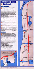
Rockaway Beach Map
1713 miles away
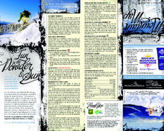
Mission Ridge Ski Area Ski Trail Map
Trail map from Mission Ridge Ski Area, which provides downhill, night, and terrain park skiing. It...
1714 miles away
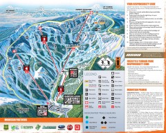
Mission Ridge Ski Trail Map
Official ski trail map of Mission Ridge ski area from the 2007-2008 season.
1714 miles away
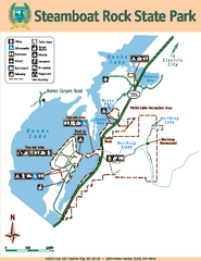
Steamboat Rock State Park Map
Map of park with detail of trails and recreation zones
1716 miles away

BANKS-VERNONIA STATE TRAIL Map
1720 miles away
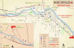
Drumheller Pedestrian Trail Map
1720 miles away
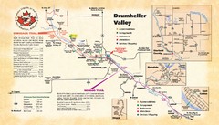
Drumheller Valley Tourist Map
Tourist map shows trails and points of interest of area around Drumheller, Alberta.
1721 miles away
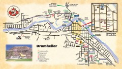
Drumheller Tourist Map
Tourist map of Drumheller, Alberta. Shows accommodations, campgrounds, restaurants, attractions...
1721 miles away

