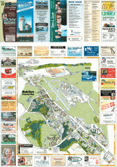
Mukilteo tourist map
Mukilteo, Washington tourist map. Shows all businesses.
1627 miles away

Centennial Trail Map
Centennial Trail has 23 miles completed (Snohomish to Bryant) with more in progress.
1628 miles away

Centennial Trail Map
1629 miles away
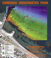
Edmonds Underwater Park Map
Map of underwater park for divers
1630 miles away
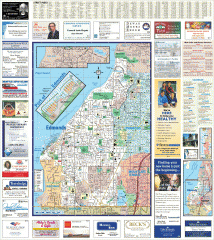
Edmonds tourist map
Tourist map of Edmonds, Washington. Shows all businesses.
1630 miles away
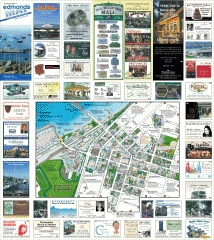
Downtown Edmonds tourist map
Tourist map of Downtown Edmonds, Washington. Shows all businesses.
1631 miles away
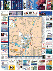
Snohomish tourst map
Tourist map of Snohomish, Washington. Shows all businesses.
1632 miles away
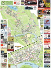
Snohomish tourist map
Snohomish, Washington tourist map. Shows all businesses.
1632 miles away
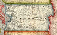
Snohomish County Washington, 1909 Map
1632 miles away
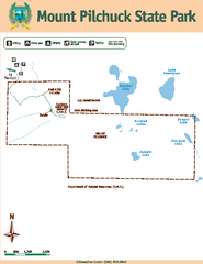
Mount Pilchuck State Park Map
Map of park with detail of trails and recreation zones
1632 miles away
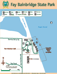
Fay Bainbridge State Park Map
Map of park with detail of trails and recreation zones
1632 miles away

3-D Panoramic Map of the Puget Sound
A 3D panoramic map of a view from a private residence over Puget Sound toward the Olympic mountains.
1632 miles away
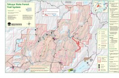
Tahuya State Forest Trail Map
Shows trails of Tahuya State Forest. Show roads, doubletrack, singletrack, and 4WD only.
1633 miles away
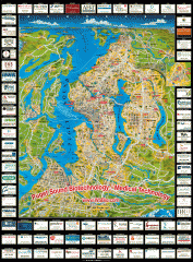
Puget Sound biotech map
Map of Puget Sound area biotechnology companies.
1634 miles away
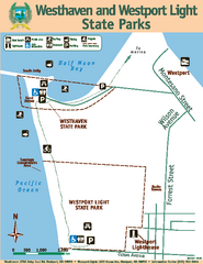
Westhaven/Westport Light State Parks Map
Map of park with detail of trails and recreation zones
1634 miles away
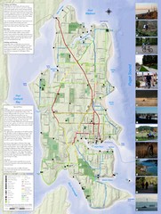
Bainbridge Island Hiking and Biking Map
Shows trails and bike routes on Bainbridge Island, Washington in the Puget Sound. Also shows...
1635 miles away
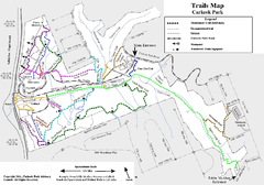
Carkeek Park Trail Map
Trail map of Carkeek Park on the Puget Sound, Seattle, WA. Shows maintained and unmaintained trails.
1636 miles away
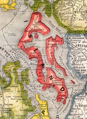
Island County Washington, 1909 Map
1636 miles away
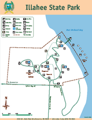
Illahee State Park Map
Map of park with detail of trails and recreation zones
1636 miles away
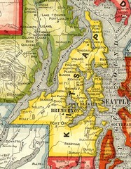
Kitsap County Washington, 1909 Map
1636 miles away
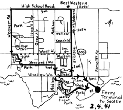
Bainbridge Walking Map
From Seattle Ferry Terminal, take the Bainbridge Ferry to Winslow. The walk is 4 miles with...
1636 miles away
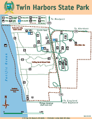
Twin Harbors State Park Map
Map of park with detail of trails and recreation zones
1637 miles away
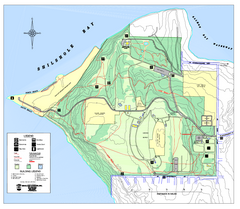
Discovery Park trail map
Trail and facility map of Discovery Park. Discovery Park is a 534 acre natural area park operated...
1637 miles away
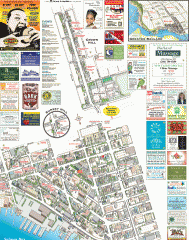
Ballard tourist map
Tourist map of Ballard, Washington. Shows all businesses.
1637 miles away
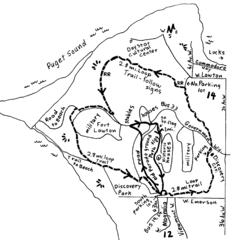
Discovery Park Walking Map Seattle Map
You can walk the Historic Parade Grounds in Fort Lawton (1.5 miles) and/or the 2.8 mile Trail Loop...
1637 miles away
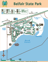
Belfair State Park Map
Map of park, with detail of trails and recreation zones
1638 miles away
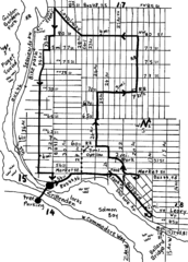
Ballard, Seattle walking map
Start/finish at the Crittendon Locks in Ballard, Seattle. The total map is 6.4 miles, but has...
1638 miles away
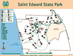
Saint Edward State Park Map
Map of park with detail of trails and recreation zones
1638 miles away

Magnolia tourist map
Tourist map of Magnolia, Washington. Shows all businesses.
1638 miles away
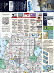
Ballard tourist map
Tourist map of Ballard, Washington and Green Lake Park. Shows all businesses.
1638 miles away
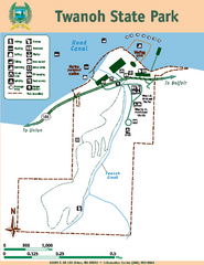
Twanoh State Park Map
Map of park with detail of trails and recreation zones
1638 miles away
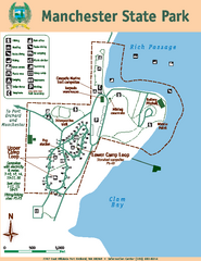
Manchester State Park Map
Map of park with detail of trails and recreation zones
1638 miles away
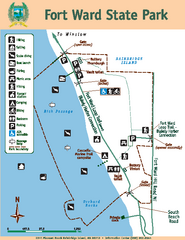
Fort Ward State Park Map
Map of park with detail of trails and recreation zones
1638 miles away

Woodinville tourist map
Tourist map of Woodinville, Washington. Shows all businesses.
1639 miles away
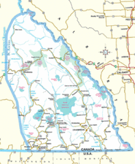
Kootenay Mountains Map
1639 miles away
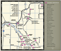
Woodinville Wine Country Map
Map of wineries in the Woodinville, WA area
1639 miles away
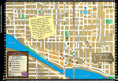
Fremont Walking Tour Map
Walking tour map of Fremont Washington in city of Seattle. Center of the known universe. Shows...
1639 miles away
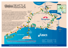
Seattle Marathon Map
Full Map of the Seattle Marathon with run details and location.
1640 miles away
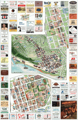
Queen Anne tourist map
Tourist map of Queen Anne, Washington. Shows all businesses.
1640 miles away
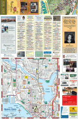
Queen Anne tourist map
Tourist map of Queen Anne, Washington. shows all businesses.
1640 miles away

