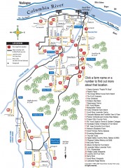
Hood River County Fruit Loop map
35-mile scenic drive through the valley's orchards, forests, farmlands, and friendly...
194 miles away
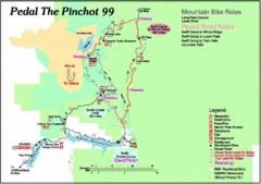
Pedal the Pinchot Bike Ride Route Map
Route Map for the Pedal the Pinchot 99 bike ride - annotated on a Park trail map.
194 miles away
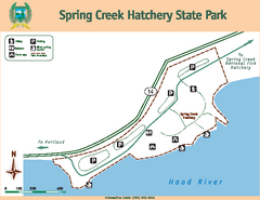
Spring Creek Hatchery State Park map
Map of park with detail of trails and recreation zones
196 miles away
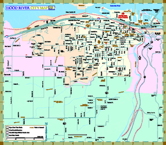
Hood River Map
Tourist map of city of Hood River, Oregon.
196 miles away
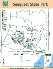
Seaquest State Park Map
Map of park with detail of trails and recreation zones
200 miles away
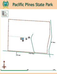
Pacific Pines State Park Map
Map of park with detail of trails and recreation zones
202 miles away
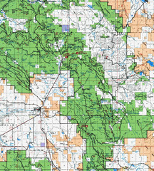
Clip10 Map
Visitor Maps of Modoc National Park, eastern part of the park includes all roads, camping areas...
206 miles away
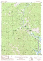
Lamoine Quad - Shasta Lake Map
Topographic map, Lamoine Quadrangle, California 1990. Area of map includes a portion of Shasta Lake...
206 miles away
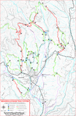
Weaverville Basin Trail System Map
Guide to trails near Weaverville, CA
206 miles away
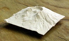
Mt. St. Helens 3D Print Map
This is a 3D-printed map of the cone, crater, and summit of Mt. St. Helens in Washington, USA. It...
206 miles away
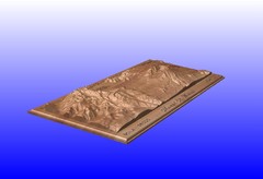
Mount St. Helens carved in wood by carvedmaps.com...
Mount St. Helens carved in wood by carvedmaps.com
206 miles away
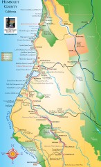
Humboldt County, California Map
Tourist map of Humboldt County, California. Shows parks, wildlife refuges, visitor centers, and...
207 miles away

Weaverville Joss House State Historic Park Map
Map of park with detail of trails and recreation zones
207 miles away
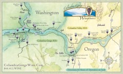
Columbia Gorge Wine Map
Wineries of the Columbia River Gorge area, Oregon.
207 miles away
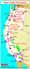
Major West Coast Volcanoes (Washington, Oregon...
208 miles away
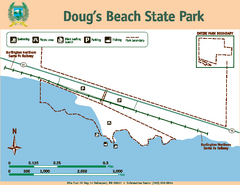
Dougs Beach State Park Map
Map of park with detail of trails and recreation zones
208 miles away
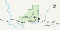
Clarno Unit John Day Fossils Beds National...
208 miles away
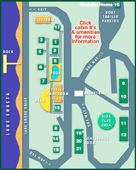
Tsasdi Resort - Shasta Lake Map
Map of the grounds of Tsasdi Resort, lakehead, CA.
208 miles away
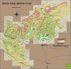
Shasta Trinity National Forest Elevation Map
Shaded relief map of Shasta-Trinity National Forest in northern California
209 miles away
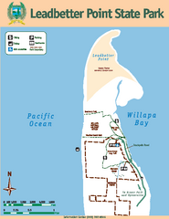
Leadbetter Point State Park Map
Map of park with detail of recreation zones and trails
210 miles away
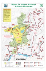
Mt. Saint Helens National Volcanic Monument...
Official recreation map showing all roads, trails, campgrounds, and other facilities. Also shows...
210 miles away
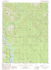
Bollibokka Mountain Quad - Shasta Lake Map
Topographic map, Bollibokka Mountain Quadrangle, California 1990. Area of map includes a portion of...
211 miles away
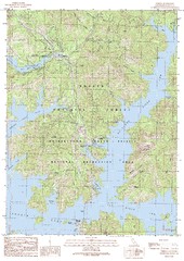
O'Brien Quad - Shasta Lake Map
Topographic map, O'Brien Quadrangle, California 1990. Area of map includes a portion of Shasta...
214 miles away
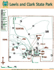
Lewis and Clark State Park Map
Map of park with detail of recreation zones and trails
215 miles away
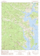
Bohemotash Mountain Quad - Shasta Lake Map
Topographic map, Bohemotash Mountain Quadrangle, California 1990. Area of map includes a portion of...
215 miles away
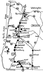
Oregon Walks Map
Walks in Portland, Oregon City, Corvallis, Salem, Lebanon, Albany, Eugene, Springfield, Junction...
215 miles away
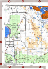
Modoc National Forest Map
Forest Visitor Map of the western most part of Modoc National Park. Includes county boundaries...
215 miles away

Lakeview Oregon Road Map
216 miles away
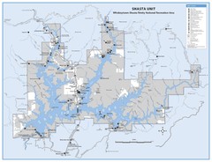
Shasta Unit - Whiskeytown-Shasta-Trinity National...
Map of Shasta Lake, California, showing roads, campgrounds, marinas and resorts, hiking and biking...
217 miles away
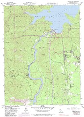
Shasta Dam Quad - Shasta Lake Map
Topographic map, Shasta Dam Quadrangle, California 1969. Area of map includes a portion of Shasta...
217 miles away
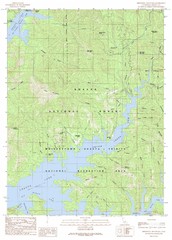
Minnesota Mountain Quad - Shasta Lake Map
Topographic map, Minnesota Mountain Quadrangle, California 1990. Area of map includes a portion of...
217 miles away
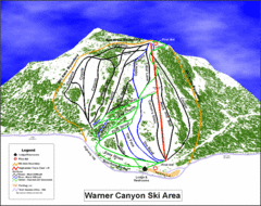
Warner Canyon Ski Trail Map
Trail map from Warner Canyon, which provides downhill skiing.
217 miles away
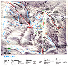
Iron Mountain Trail Map
Iron Mountain ski area
218 miles away
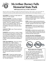
McArthur-Burney Falls Memorial State Park...
Map of park with detail of trails and recreation zones
219 miles away
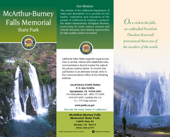
McArthur-Burney Falls Memorial State Park Map
Map of park with detail of trails and recreation zones
219 miles away
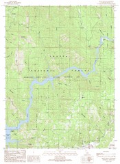
Devils Rock Quad - Shasta Lake Map
Topographic map, Devils Rock Quadrangle, California 1990. Area of map includes a portion of Shasta...
219 miles away
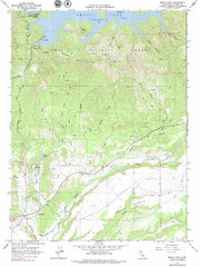
Bella Vista Quad - Shasta Lake Map
Topographic map, Bella Vista Quadrangle, California 1976. Area of map includes a portion of Shasta...
220 miles away
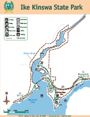
Ike Kinswa State Park Map
Map of park with detail of trails and recreation zones
222 miles away
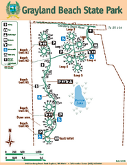
Grayland Beach State Park Map
Map of park with detail of trails and recreation zones
222 miles away
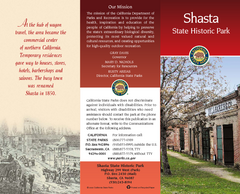
Shasta State Historic Park Map
Map of park with detail of trails and recreation zones
223 miles away

