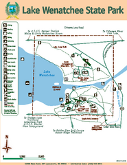
Lake Wenatchee State Park Map
Map of island with detail of trails and recreation zones
337 miles away
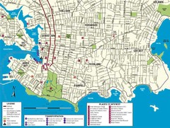
Downtown Victoria Map
337 miles away

Shuttle to Town Map
337 miles away
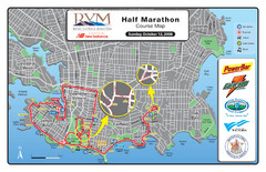
2008 Royal Victoria Half Marathon Map
Course Map for the Royal Victoria Half Marathon. Held Sunday, October 12, 2008
338 miles away
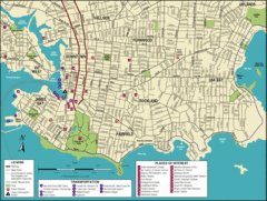
Victoria, British Columbia Tourist Map
338 miles away
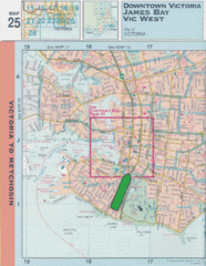
Downtown Victoria, British Columbia Tourist Map
338 miles away

Welcome to Esquimalt Parks and Recreation...
338 miles away
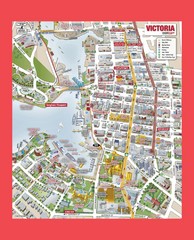
Victoria City Tourist Map
Tourist map of Victoria City on Vancouver Island, BC
338 miles away
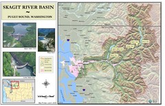
Skagit River Map
Skagit River Basin Overview Map (Pink shading is the FEMA 100 Year Flood)
339 miles away
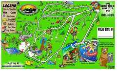
Harmony Ridge Resort Map
340 miles away

Mount Tolmie Park Map
340 miles away
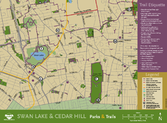
Swan Lake & Cedar Hill Area Map
Swan Lake & Cedar Hill Parks & Trails
340 miles away
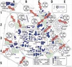
UVic Bicycle Access Patterns 2008 Map
Showing bicycle usage statistics
341 miles away
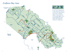
Cadboro Bay Area Map
341 miles away
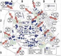
UVic Bicycle Access Patterns 2010 Map
Showing bicycle usage statistics
341 miles away
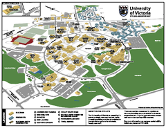
University of Victoria - Cycling Amenities Map
Showing the various cycling related amenities ie. Covered Bicycle Parking, bicycle lockers...
341 miles away
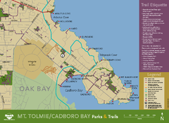
Mt. Tolmie & Cadboro Bay Map
Section of larger map, showing Seaside Touring Route and other regional and local cycling routes...
341 miles away
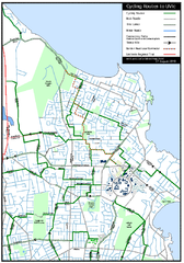
Cycling routes to UVic Map
Bike Route Map of Local Area around UVic © 2007, University of Victoria Updated 17 April...
342 miles away
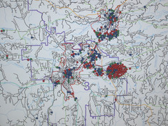
Nevada County Economic Resource Council Activity...
The ERC supports many different businesses in western Nevada County. We provide business assistance...
342 miles away
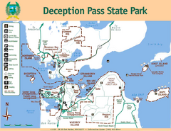
Deception Pass State Park Map
Map of park with detail of trails and recreation zones
342 miles away
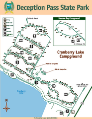
Deception Pass State Park Map
Map of park with detail of trails and recreation zones
342 miles away
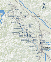
Dry Creek Valley Wineries, California Map
Map of wineries in Dry Creek Valley, California. Shows wineries and roads.
342 miles away
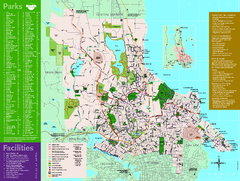
Full Map of Saanich Parks & Trails 2012
Full Map of Saanich Parks & Trails 2012
342 miles away
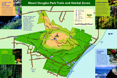
Mount Douglas Park Trails and Habitat Zones Map
342 miles away
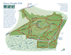
Mount Douglas Park Map
343 miles away
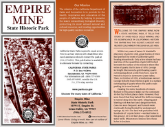
Empire Mine State Historic Park Map
Map of park with detail of trails and recreation zones
343 miles away
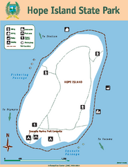
Hope Island State Park Map
Map of park with detail of trails and recreation zones
343 miles away

Galloping Goose and Lochside Regional Trails Map
344 miles away

West Coast Trail Map
345 miles away
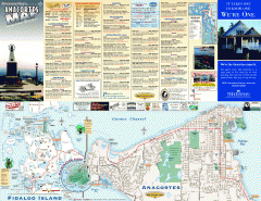
Fidalgo Island tourist map
Tourist map of Fidalgo Island in Anacortes, Washington. Shows recreation and points of interest.
345 miles away
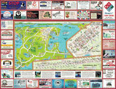
Anacortes tourist map
Tourist map of Anacortes, Washington. Shows recreation and points of interest.
347 miles away

San Juan Island tourist map
San Juan Island and Friday Harbor tourist map. Shows all businesses.
347 miles away
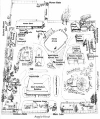
San Juan County Fair Map 2008
Fairgrounds map for the San Juan County Fair, Friday Harbor, Washington
347 miles away
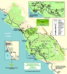
Salt Point State Park Map
Topo park map of Salt Point State Park and Kruse Rhododendron State Reserve. Shows trails by use...
348 miles away
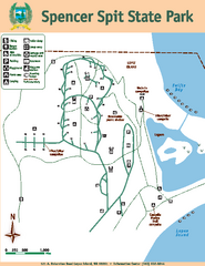
Spencer Spit State Park Map
Map of park with detail of trails and recreation zones
349 miles away

