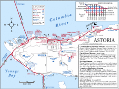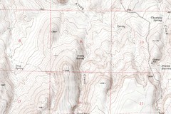
Astoria Oregon Map
A detailed topographic map of Astoria, Oregon and the Columbia River.
196 miles away
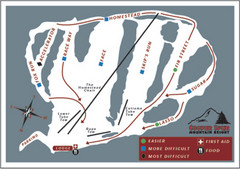
Cooper Spur Ski Area Ski Trail Map
Trail map from Cooper Spur Ski Area.
196 miles away
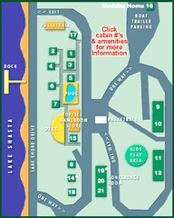
Tsasdi Resort - Shasta Lake Map
Map of the grounds of Tsasdi Resort, lakehead, CA.
197 miles away
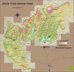
Shasta Trinity National Forest Elevation Map
Shaded relief map of Shasta-Trinity National Forest in northern California
197 miles away
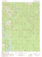
Bollibokka Mountain Quad - Shasta Lake Map
Topographic map, Bollibokka Mountain Quadrangle, California 1990. Area of map includes a portion of...
199 miles away
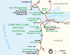
Lewis & Clark National Historic Trail...
Official NPS map of Lewis & Clark National Historic Trail in Oregon-Washington. Shows all areas...
200 miles away
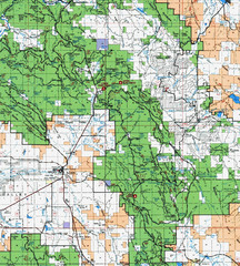
Clip10 Map
Visitor Maps of Modoc National Park, eastern part of the park includes all roads, camping areas...
200 miles away
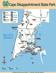
Cape Dissapointment State Park Map
Map of park with detail of trails and recreation zones
202 miles away
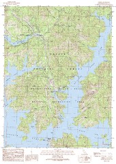
O'Brien Quad - Shasta Lake Map
Topographic map, O'Brien Quadrangle, California 1990. Area of map includes a portion of Shasta...
202 miles away
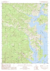
Bohemotash Mountain Quad - Shasta Lake Map
Topographic map, Bohemotash Mountain Quadrangle, California 1990. Area of map includes a portion of...
203 miles away
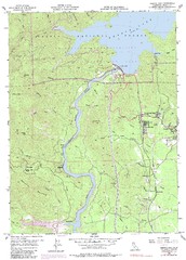
Shasta Dam Quad - Shasta Lake Map
Topographic map, Shasta Dam Quadrangle, California 1969. Area of map includes a portion of Shasta...
205 miles away
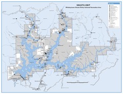
Shasta Unit - Whiskeytown-Shasta-Trinity National...
Map of Shasta Lake, California, showing roads, campgrounds, marinas and resorts, hiking and biking...
205 miles away
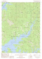
Minnesota Mountain Quad - Shasta Lake Map
Topographic map, Minnesota Mountain Quadrangle, California 1990. Area of map includes a portion of...
206 miles away
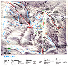
Iron Mountain Trail Map
Iron Mountain ski area
206 miles away
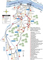
Hood River County Fruit Loop map
35-mile scenic drive through the valley's orchards, forests, farmlands, and friendly...
206 miles away
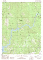
Devils Rock Quad - Shasta Lake Map
Topographic map, Devils Rock Quadrangle, California 1990. Area of map includes a portion of Shasta...
208 miles away
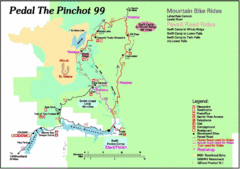
Pedal the Pinchot Bike Ride Route Map
Route Map for the Pedal the Pinchot 99 bike ride - annotated on a Park trail map.
208 miles away
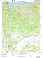
Bella Vista Quad - Shasta Lake Map
Topographic map, Bella Vista Quadrangle, California 1976. Area of map includes a portion of Shasta...
209 miles away
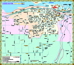
Hood River Map
Tourist map of city of Hood River, Oregon.
209 miles away
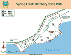
Spring Creek Hatchery State Park map
Map of park with detail of trails and recreation zones
209 miles away
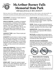
McArthur-Burney Falls Memorial State Park...
Map of park with detail of trails and recreation zones
209 miles away
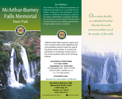
McArthur-Burney Falls Memorial State Park Map
Map of park with detail of trails and recreation zones
209 miles away
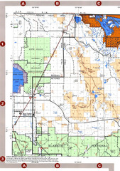
Modoc National Forest Map
Forest Visitor Map of the western most part of Modoc National Park. Includes county boundaries...
209 miles away
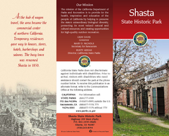
Shasta State Historic Park Map
Map of park with detail of trails and recreation zones
211 miles away
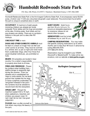
Humboldt Redwoods State Park Campground Map
Map of campground region park with detail of trails and recreation zones
211 miles away
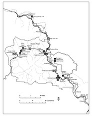
Humboldt Redwoods State Park Map
Park map of Humboldt Redwoods State Park, California. Shows Avenue of the Giants, trailheads and...
212 miles away

Lakeview Oregon Road Map
213 miles away
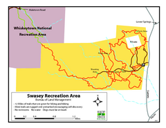
Swasey Recreation Area Map
12 Miles of trails that are great for hiking and biking. Most trails are rugged and unmarked...
214 miles away
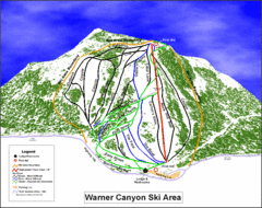
Warner Canyon Ski Trail Map
Trail map from Warner Canyon, which provides downhill skiing.
214 miles away
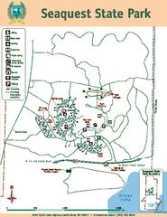
Seaquest State Park Map
Map of park with detail of trails and recreation zones
214 miles away
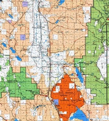
Modoc National Park Map
Visitor Map of Modoc National Park, eastern part. Includes all roads, lakes, camping and boating...
215 miles away
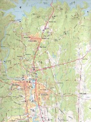
Redding, California City Map
215 miles away
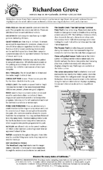
Richardson Grove State Park Campground Map
Map of campground region of park with detail of trails and recreation zones
215 miles away
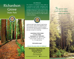
Richardson Grove State Park Map
Map of park with detail of trails and recreation zones
215 miles away
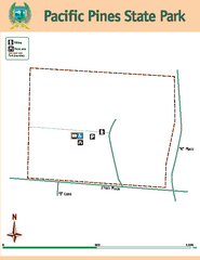
Pacific Pines State Park Map
Map of park with detail of trails and recreation zones
217 miles away
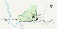
Clarno Unit John Day Fossils Beds National...
217 miles away
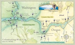
Columbia Gorge Wine Map
Wineries of the Columbia River Gorge area, Oregon.
219 miles away
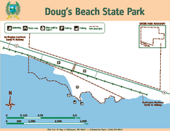
Dougs Beach State Park Map
Map of park with detail of trails and recreation zones
220 miles away
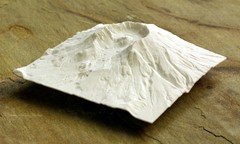
Mt. St. Helens 3D Print Map
This is a 3D-printed map of the cone, crater, and summit of Mt. St. Helens in Washington, USA. It...
220 miles away

