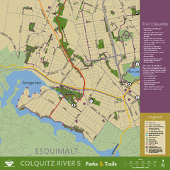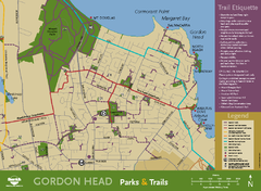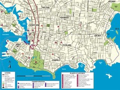
Downtown Victoria Map
352 miles away

Shuttle to Town Map
352 miles away
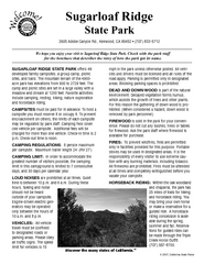
Sugarloaf Ridge State Park Campground Map
Map of park with detail of trails and recreation zones
352 miles away
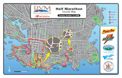
2008 Royal Victoria Half Marathon Map
Course Map for the Royal Victoria Half Marathon. Held Sunday, October 12, 2008
352 miles away
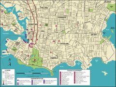
Victoria, British Columbia Tourist Map
352 miles away
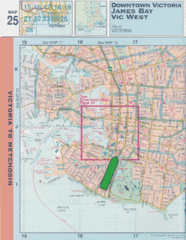
Downtown Victoria, British Columbia Tourist Map
352 miles away

Welcome to Esquimalt Parks and Recreation...
352 miles away
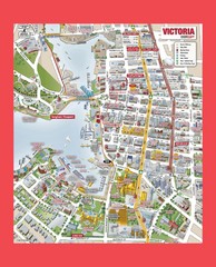
Victoria City Tourist Map
Tourist map of Victoria City on Vancouver Island, BC
352 miles away
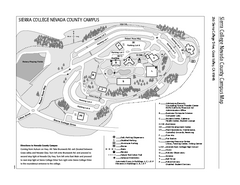
Sierra College Campus Map
Sierra College Campus Map. All buildings shown.
353 miles away
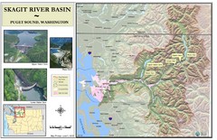
Skagit River Map
Skagit River Basin Overview Map (Pink shading is the FEMA 100 Year Flood)
354 miles away
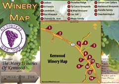
Kenwood Wine Tasting Map
354 miles away
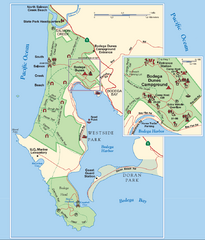
Bodega Bay Park Map
Park map of the Sonoma Coast State Beach park lands in Bodega Bay, California. Shows roads, trails...
354 miles away
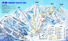
Squaw Valley USA Trail Map
Trail map of Squaw Valley ski area in Lake Tahoe, California
354 miles away

Granite Chief Wilderness Map
Trail map of Granite Chief Wilderness in Lake Tahoe region. Shows trails (inlcuding Pacific Crest...
354 miles away
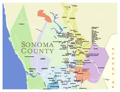
Wineries in Sonoma County, California Map
Map of winery locations in Sonoma County, California. Shows wineries, tasting rooms, and valleys of...
355 miles away
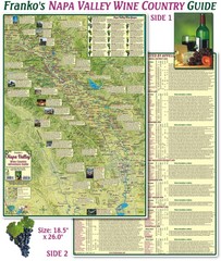
Napa Valley Wine Country Guide Map
Map of the Napa Valley Wine Country. With over 250 local Wineries listed. Printed on waterproof...
355 miles away

Mount Tolmie Park Map
355 miles away
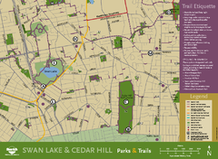
Swan Lake & Cedar Hill Area Map
Swan Lake & Cedar Hill Parks & Trails
355 miles away
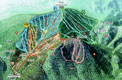
Northstar Ski Trail Map
Official ski trail map of Northstar-at-Tahoe ski area from the 2007-2008 season.
355 miles away
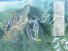
Northstar-at-Tahoe Ski Trail Map
Official trail map of Northstar-at-Tahoe ski area from the 2009-2010 season
355 miles away
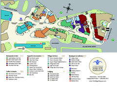
Squaw Valley Base Village Map
Village map of base of Squaw Valley Ski Resort, Lake Tahoe, California. Shows all restaurants...
355 miles away
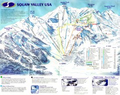
Squaw Valley Ski Trail Map
Scan of ski trail map of Squaw Valley ski area from the 2000-2001 season.
355 miles away
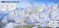
Squaw Valley USA Ski Trail Map
Trail map from Squaw Valley USA, which provides downhill, night, nordic, and terrain park skiing...
355 miles away
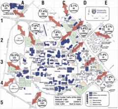
UVic Bicycle Access Patterns 2008 Map
Showing bicycle usage statistics
355 miles away
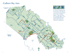
Cadboro Bay Area Map
355 miles away
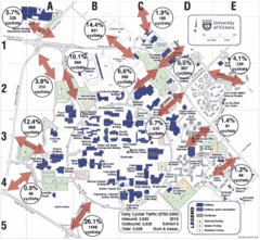
UVic Bicycle Access Patterns 2010 Map
Showing bicycle usage statistics
355 miles away
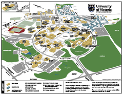
University of Victoria - Cycling Amenities Map
Showing the various cycling related amenities ie. Covered Bicycle Parking, bicycle lockers...
355 miles away
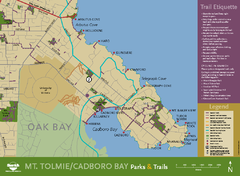
Mt. Tolmie & Cadboro Bay Map
Section of larger map, showing Seaside Touring Route and other regional and local cycling routes...
355 miles away
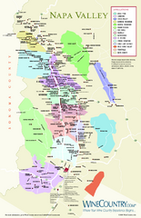
Napa Valley Wine Map
Wine map of Napa Valley, Napa, California. Shows all vineyards and shading by appellations from...
356 miles away
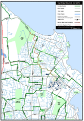
Cycling routes to UVic Map
Bike Route Map of Local Area around UVic © 2007, University of Victoria Updated 17 April...
356 miles away
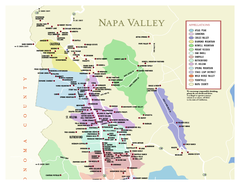
Napa County Wineries, California Map
Map of wineries in Napa County, California. Shows wineries and appellations.
356 miles away
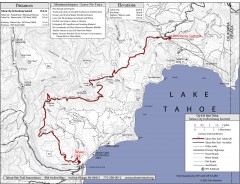
Tahoe Rim Trail: Tahoe City to Brockway Summit Map
Topographic hiking map of the Tahoe City-Brockway Summit leg of the Tahoe Rim Trail. Shows trail...
356 miles away
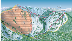
Alpine Meadows Ski Area Backside Ski Trail Map
Trail map from Alpine Meadows Ski Area, which provides downhill and terrain park skiing. It has 13...
357 miles away
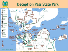
Deception Pass State Park Map
Map of park with detail of trails and recreation zones
357 miles away
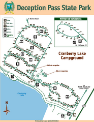
Deception Pass State Park Map
Map of park with detail of trails and recreation zones
357 miles away
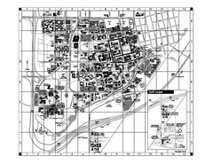
University of California at Davis Map
Campus Map of the University of California at Davis. All buildings shown.
357 miles away
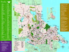
Full Map of Saanich Parks & Trails 2012
Full Map of Saanich Parks & Trails 2012
357 miles away
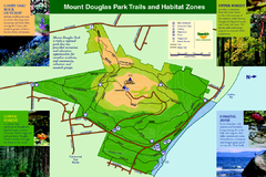
Mount Douglas Park Trails and Habitat Zones Map
357 miles away

