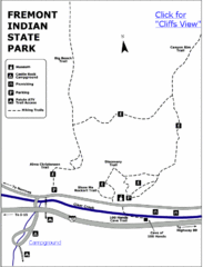
Fremont Indian State Park Map
Discover artifacts, petroglyphs, and pictographs left behind by the Fremont Indians. During...
396 miles away
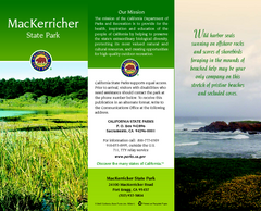
MacKerricher State Park Map
Map of park with detail of trails and recreation zones
396 miles away
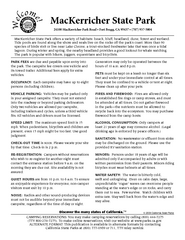
MacKerricher State Park Campground Map
Map of campground region of park with detail of trails and recreation zones
396 miles away
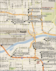
Phoenix Sky Harbor Airport Hotels Map
398 miles away
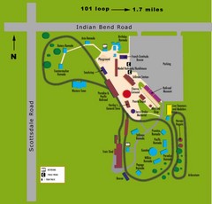
McCormick Railroad Park Map
400 miles away

Snowmobiling Map, Elko County, Nevada
Map of snowmobiling opportunities in Elko County, Nevada. Snowmobiling areas, roads, and towns are...
400 miles away
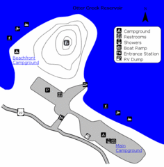
Otter Creek Reservoir Map
This quiet getaway is a great destination for ATV riders, boaters, and birders. Access three ATV...
400 miles away
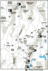
Cross-country Skiing, Elko County, Nevada Map
Map of cross-country skiing opportunities in Elko County, Nevada. Shows skiing locations, roads...
401 miles away
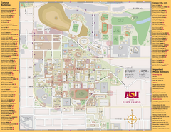
Arizona State University, Tempe Camous Map
Campus map of Arizona State University. Main campus, Tempe is shown. All Buildings are included.
402 miles away
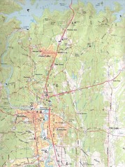
Redding, California City Map
403 miles away
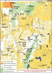
Land Use Map of Elko County, Nevada
Land use map of Elko County, Nevada. Shows lands classified as public or private, and owners of...
403 miles away
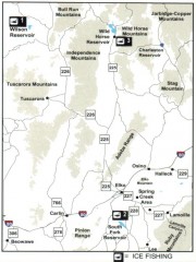
Icefishing Map, Elko County, Nevada
Map of ice fishing locations in Elko County, NV. Shows reservoirs, roads and towns.
404 miles away
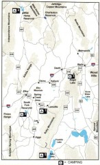
Camping in Elko County, Nevada Map
Map of camping opportunities in Elko County, Nevada, showing camp grounds, roads and towns.
404 miles away
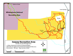
Swasey Recreation Area Map
12 Miles of trails that are great for hiking and biking. Most trails are rugged and unmarked...
406 miles away
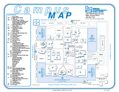
Mesa Community College Campus Map
Mesa Community College Campus Map. All buildings shown.
406 miles away
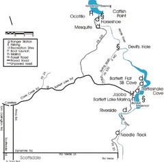
Scottsdale Map
Map of Scottsdale's reservoirs and recreational areas.
407 miles away
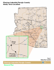
Arizona Highway Map
407 miles away
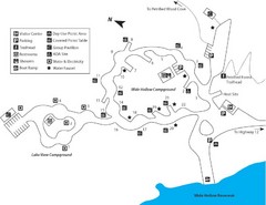
Escalante Petrified Forest State Park Map
Escalante Petrified Forest State Park is located in beautiful southern Utah, just 44 miles east of...
407 miles away
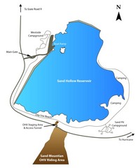
Sand Hollow State Park Map
With its warm, blue waters and red sandstone landscape, Utah's newest state park is also one...
408 miles away
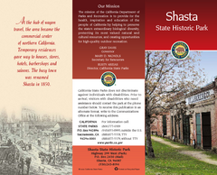
Shasta State Historic Park Map
Map of park with detail of trails and recreation zones
408 miles away
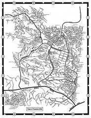
Fountain Hills, Arizona Map
408 miles away

Lake Powell Oblique Map
408 miles away
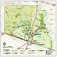
Organ Pipe Cactus National Monument Map
Official NPS map of Organ Pipe Cactus National Monument in Arizona on the Mexican border. Shows...
408 miles away
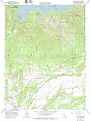
Bella Vista Quad - Shasta Lake Map
Topographic map, Bella Vista Quadrangle, California 1976. Area of map includes a portion of Shasta...
409 miles away
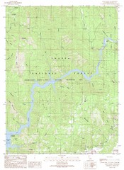
Devils Rock Quad - Shasta Lake Map
Topographic map, Devils Rock Quadrangle, California 1990. Area of map includes a portion of Shasta...
409 miles away
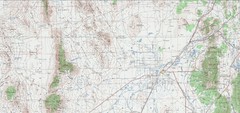
Delta Quad Sheet Detail 1972 Map
410 miles away
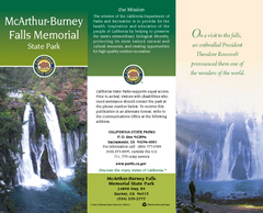
McArthur-Burney Falls Memorial State Park Map
Map of park with detail of trails and recreation zones
411 miles away
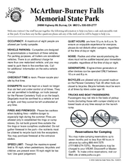
McArthur-Burney Falls Memorial State Park...
Map of park with detail of trails and recreation zones
411 miles away
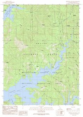
Minnesota Mountain Quad - Shasta Lake Map
Topographic map, Minnesota Mountain Quadrangle, California 1990. Area of map includes a portion of...
411 miles away
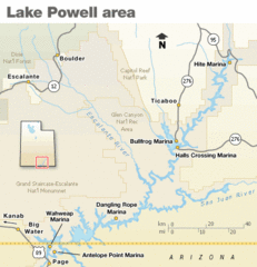
Lake Powell Area Map
Clear map marking the surrounding area of this pristine lake.
412 miles away
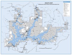
Shasta Unit - Whiskeytown-Shasta-Trinity National...
Map of Shasta Lake, California, showing roads, campgrounds, marinas and resorts, hiking and biking...
412 miles away
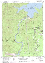
Shasta Dam Quad - Shasta Lake Map
Topographic map, Shasta Dam Quadrangle, California 1969. Area of map includes a portion of Shasta...
413 miles away
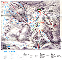
Iron Mountain Trail Map
Iron Mountain ski area
413 miles away
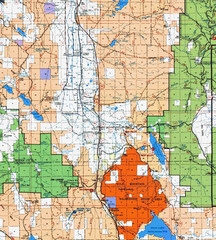
Modoc National Park Map
Visitor Map of Modoc National Park, eastern part. Includes all roads, lakes, camping and boating...
414 miles away
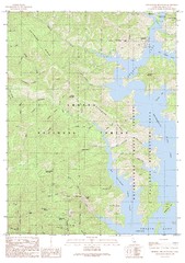
Bohemotash Mountain Quad - Shasta Lake Map
Topographic map, Bohemotash Mountain Quadrangle, California 1990. Area of map includes a portion of...
414 miles away
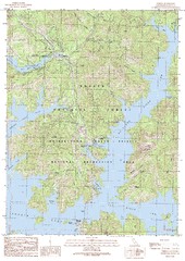
O'Brien Quad - Shasta Lake Map
Topographic map, O'Brien Quadrangle, California 1990. Area of map includes a portion of Shasta...
416 miles away
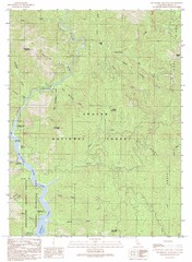
Bollibokka Mountain Quad - Shasta Lake Map
Topographic map, Bollibokka Mountain Quadrangle, California 1990. Area of map includes a portion of...
418 miles away
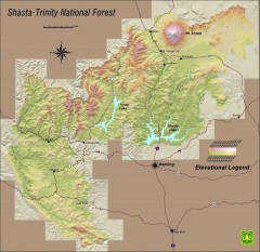
Shasta Trinity National Forest Elevation Map
Shaded relief map of Shasta-Trinity National Forest in northern California
421 miles away
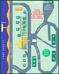
Tsasdi Resort - Shasta Lake Map
Map of the grounds of Tsasdi Resort, lakehead, CA.
421 miles away
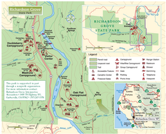
Richardson Grove State Park Map
Park map of Richardson Grove State Park, California. Shows trails, campgrounds, and other...
421 miles away

