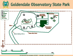
Goldendale State Park Map
Map of park with detail of trails and recreation zones
178 miles away
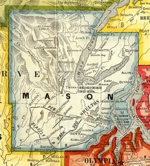
Mason County Washington, 1909 Map
179 miles away
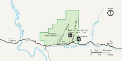
Clarno Unit John Day Fossils Beds National...
180 miles away
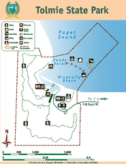
Tolmie State Park Map
Map of park with detail of trails and recreation zones
180 miles away

Pierce County Washington Map, 1909 Map
181 miles away
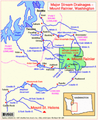
Mount Rainier Major Stream Drainages Map
181 miles away
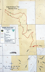
Grizzly Peak Trail Map
Topographic trail map of Grizzly Peak near Ashland, Oregon. Shows trails and distances. From...
182 miles away
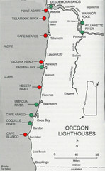
Lighthouses of the Oregon Coast Map
lighthouses (active, inactive, and destroyed) on the coast of Oregon (and the Columbia River)
183 miles away
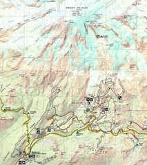
Pinnacle Saddle Trail Map
184 miles away
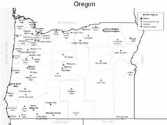
Oregon Airport Map
184 miles away
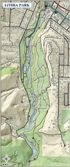
Lithia Park Trail Map
Trail map of Lithia Park in town of Ashland, Oregon. Adjacent to the Oregon Shakespeare Festival.
185 miles away
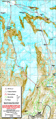
Mount Rainier Paradise Climbing Route map
Map shows all hiking and climbing routes originating from Paradise at 5,400 ft.
185 miles away
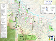
Ashland Trails Map
Trail map of Ashland, Oregon. Shows bicycle routes and public parks and trails.
185 miles away
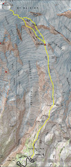
Mount Rainier Climbing Map
Guide to climbing Mount Rainier, Camp Muir Route
186 miles away
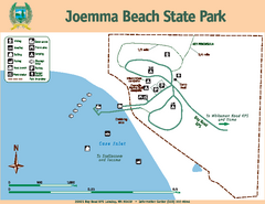
Joemma Beach State Park Map
Map of park with detail of trails and recreation zones
186 miles away
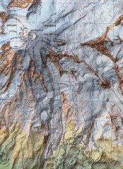
Mt. Rainier Climbing Routes Map
Shows major climbing routes on Mt. Rainier on southwest part of mountain.
187 miles away

Mt. Rainier 3D Print Map
This is a 3D-printed map of the cone of Mt. Rainier in Washington, USA, including Liberty Cap, many...
187 miles away
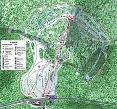
White Pass Ski Area Ski Trail Map
Trail map from White Pass Ski Area, which provides downhill, nordic, and terrain park skiing. It...
188 miles away
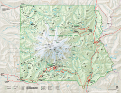
Mount Rainier National Park map
Official NPS map of Mt. Rainier National Park. Shows the entire park and surroundings
188 miles away
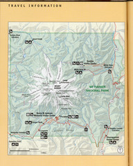
Mount Rainier National Park Map
Guide to the Mount Rainier National Park
189 miles away
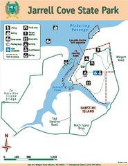
Jarrell Cove State Park Map
Map of park with detail of trails and recreation zones
189 miles away
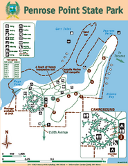
Penrose Point State Park Map
Map of park with detail of trails and recreation zones
190 miles away
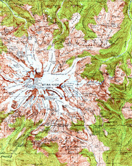
Mount Rainier Topographic Map
Guide to topography and glaciers of Mount Rainier
190 miles away
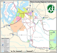
Pierce County Regional Trail Map
County-wide system of trails
190 miles away
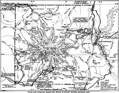
1928 Mount Rainier National Park Map
Guide to Mount Rainier National Park in 1938
190 miles away
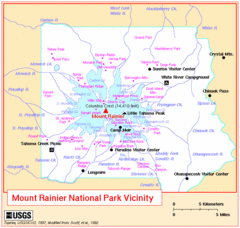
Mount Rainier National Park Vicinity Map
190 miles away
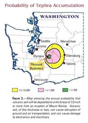
Mount Rainier Probability of Tephra (Ash...
191 miles away
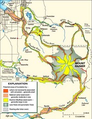
Mount Rainier Potential Lava Flow, Mud Flow and...
Hazard zones for lahars, lava flows, and pyroclastic flows from Mount Rainier. The map shows areas...
192 miles away
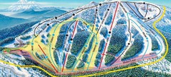
Mt. Ashland Ski Trail Map
Ski trail map of Mt. Ashland ski area near Ashland, Oregon
192 miles away
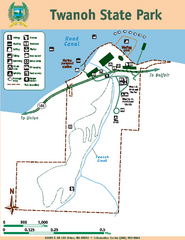
Twanoh State Park Map
Map of park with detail of trails and recreation zones
194 miles away
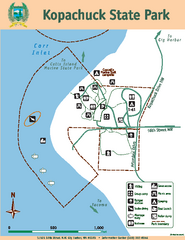
Kopachuck State Park Map
Map of island with detail of trails and recreation zones
194 miles away
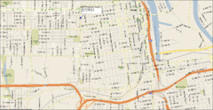
Tacoma, Washington City Map
194 miles away
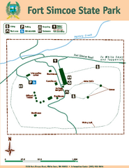
Fort Simcoe State Park Map
Map of park with detail of trails and recreation zones
194 miles away
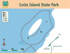
Cutts Island Stay Park Map
Map of park with detail of trails and recreation zones
195 miles away
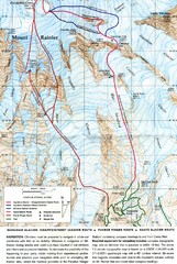
Mount Rainier Topo Map
Map of Mount Rainier Ascent. We ascended the "Muir Snowfield" and then went up the "...
196 miles away
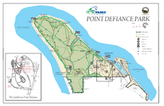
Point Defiance Park Map
197 miles away
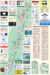
Milton tourist map
Tourist map of Milton, Washington. Shows all businesses.
197 miles away
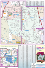
Milton and Edgewood tourist map
Tourist map of Milton and Edgewood, Washington. Shows all businesses.
197 miles away

