City of Kennewick Map
Simple road map of Kennewick.
262 miles away
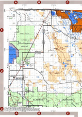
Modoc National Forest Map
Forest Visitor Map of the western most part of Modoc National Park. Includes county boundaries...
263 miles away
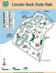
Lincoln Rock State Park Map
Map of park with detail of trails and recreation zones
263 miles away
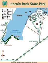
Lincoln Rock State Park Map
263 miles away
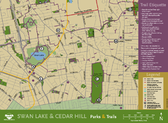
Swan Lake & Cedar Hill Area Map
Swan Lake & Cedar Hill Parks & Trails
264 miles away

Mount Tolmie Park Map
264 miles away
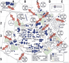
UVic Bicycle Access Patterns 2008 Map
Showing bicycle usage statistics
264 miles away
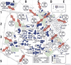
UVic Bicycle Access Patterns 2010 Map
Showing bicycle usage statistics
264 miles away
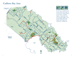
Cadboro Bay Area Map
264 miles away
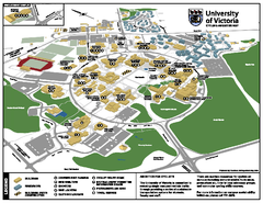
University of Victoria - Cycling Amenities Map
Showing the various cycling related amenities ie. Covered Bicycle Parking, bicycle lockers...
264 miles away
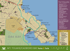
Mt. Tolmie & Cadboro Bay Map
Section of larger map, showing Seaside Touring Route and other regional and local cycling routes...
265 miles away
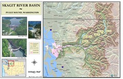
Skagit River Map
Skagit River Basin Overview Map (Pink shading is the FEMA 100 Year Flood)
265 miles away
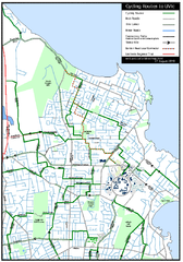
Cycling routes to UVic Map
Bike Route Map of Local Area around UVic © 2007, University of Victoria Updated 17 April...
265 miles away
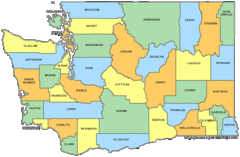
Washington State Counties Map
266 miles away
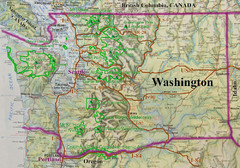
Washington State Road and Recreation Map
266 miles away
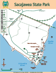
Sacajawea State Park Map
Map of park with detail of trails and recreation zones
266 miles away
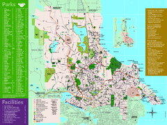
Full Map of Saanich Parks & Trails 2012
Full Map of Saanich Parks & Trails 2012
266 miles away
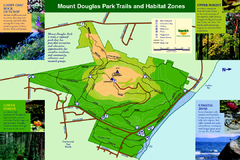
Mount Douglas Park Trails and Habitat Zones Map
266 miles away
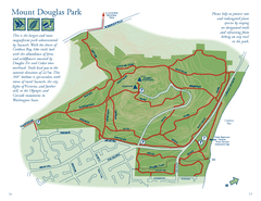
Mount Douglas Park Map
266 miles away
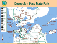
Deception Pass State Park Map
Map of park with detail of trails and recreation zones
267 miles away
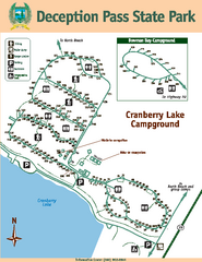
Deception Pass State Park Map
Map of park with detail of trails and recreation zones
267 miles away

Galloping Goose and Lochside Regional Trails Map
267 miles away
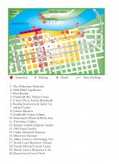
Old Town, Eureka, California Map
Tourist map of the Old Town area of Eureka, California. Shows various attractions including murals...
268 miles away
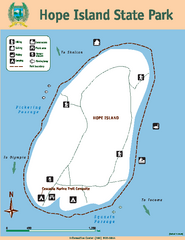
Hope Island State Park Map
Map of park with detail of trails and recreation zones
268 miles away
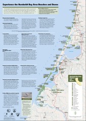
Humboldt Bay Area Beaches and Dunes Map
Humboldt Bay Beaches & Dunes Map & Guide
268 miles away

West Coast Trail Map
269 miles away
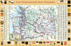
Washington State Winery Map
Washington State Winery Map
269 miles away
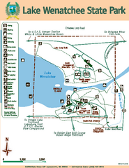
Lake Wenatchee State Park Map
Map of island with detail of trails and recreation zones
269 miles away
Fort Humboldt State Historic Park Map
Map of park with detail of trails and recreation zones
270 miles away
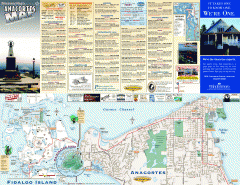
Fidalgo Island tourist map
Tourist map of Fidalgo Island in Anacortes, Washington. Shows recreation and points of interest.
270 miles away

San Juan Island tourist map
San Juan Island and Friday Harbor tourist map. Shows all businesses.
271 miles away
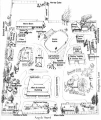
San Juan County Fair Map 2008
Fairgrounds map for the San Juan County Fair, Friday Harbor, Washington
271 miles away
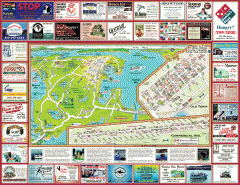
Anacortes tourist map
Tourist map of Anacortes, Washington. Shows recreation and points of interest.
271 miles away

rthsaanich.ca District Map
273 miles away
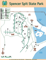
Spencer Spit State Park Map
Map of park with detail of trails and recreation zones
273 miles away

