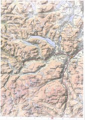
Oppdal Topo Map
Topo map of Oppdal, Norway region
2046 miles away
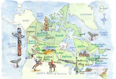
Canadian Tourist Illustrated Map
2048 miles away
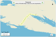
Trans Canada Trail - Nunavut : Index of Printable...
2054 miles away
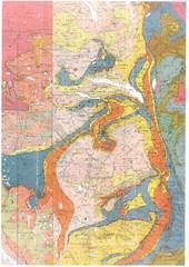
Oppdal Geologic Map
Map of geology around Oppdal, Norway
2055 miles away
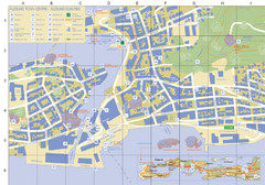
Alesund Town Map
Map of Alesund, Norway town center. Shows tourist points of interest. Inset shows location on...
2063 miles away
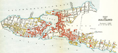
Alesund in 1911 Map
2063 miles away
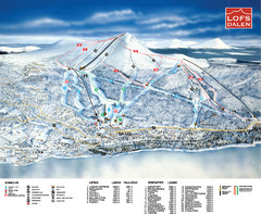
Lofsdalen Ski Trail Map
Trail map from Lofsdalen.
2064 miles away
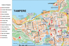
Tampere Hotel Map
2070 miles away
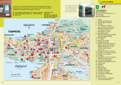
Tampere Tourist Map
Tourist map of Tampere, Finland. Shows 32 points of interest
2070 miles away

Saimaa Finalnd Map
Map of Lake Saimaa and surrounding area with roads and cities.
2071 miles away
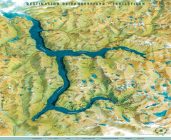
Geiranger Fjord Map
2074 miles away
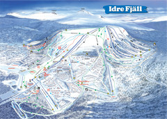
Idre Ski Trail Map
Trail map from Idre.
2084 miles away
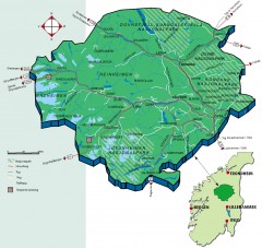
Nasjonalparkriket National Park Region Map
The national parks region "Nasjonalparkriket" is centrally located between the cities of...
2091 miles away
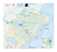
Katmai National Park & Preserve Official Park...
Official NPS map of Katmai National Park & Preserve in Alaska. Map shows all areas. The park...
2100 miles away
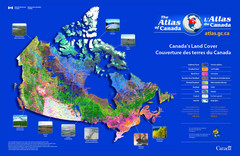
Canada Land Cover Map
Shows color-coded land cover regions of Canada. In French and English.
2101 miles away
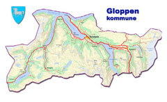
Gloppen Town Map
Topo map of Gloppen, Norway
2108 miles away
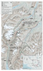
Chilkoot Trail Map
Trail map of the 33 mile Chilkoot Trail in Alaska, US and British Columbia, Canada. Lies in the...
2109 miles away
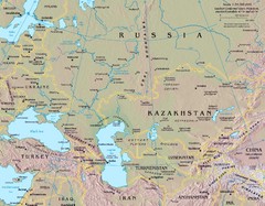
Russia Map
2109 miles away
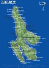
Bordoy island Map
2113 miles away
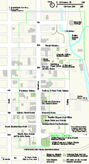
Klondike Gold Rush National Historical Park...
Official NPS map of Klondike Gold Rush National Historical Park in Alaska-Washington. Map shows all...
2116 miles away
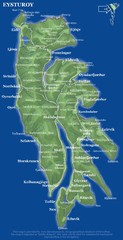
Eysturoy island Map
2117 miles away

Hamlet of Fort Liard Area Map
Fort Liard Visitor Information Map including location of most buildings, businesses, streets, and...
2119 miles away
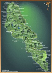
Streymoy Island Map
2124 miles away

Kirillov Map
2124 miles away
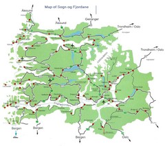
Sogn og Fjordane Region Map
Map of the Sognefjorden, Norway region
2125 miles away
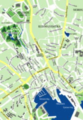
Downtown Torshavn Map
Street map of downtown Torshavn
2129 miles away
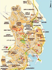
Torshavn city Map
2129 miles away
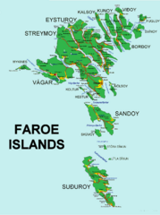
Faroe Islands Map
Overview map of the Faroe Islands.
2138 miles away
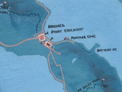
Map of Haines, Alaska
A map of Haines and the surrounding areas.
2138 miles away
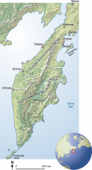
Kamchatka Peninsula map
Shaded relief map of the Kamchatka Peninsula. from raipon.org: "Kamchatka Peninsula is...
2142 miles away
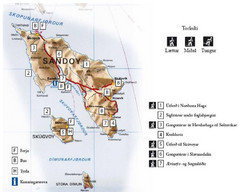
Sandoy Island Tourist Map
Tourist map of Sandoy, Faroe Islands. Shows ferry and bus stops and 7 hikes rated by difficulty
2144 miles away
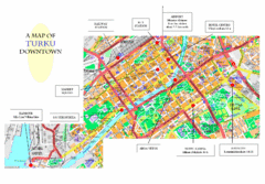
Turku City Map
City map of downtown Turku, Finland. Some hotels and transportation info highlighted.
2147 miles away

Kothlin Island Tourist Map
2149 miles away
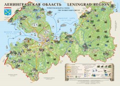
Leningrad Region Tourist Circuit Map
Shows numbered drawings of tourist attractions in Leningrad/St. Petersburg region. In Russian and...
2150 miles away
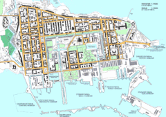
Kronstadt Tourist Map
Tourist map of Kronstadt, Russia, an island near St. Petersburg, Russia. In Russian.
2150 miles away
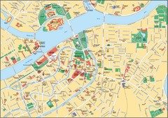
St. Petersburg Map
Street map of city center
2151 miles away
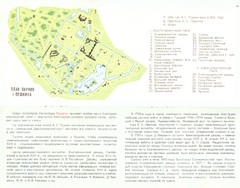
Leningrad-1977 Tsarskoye Selo Pushkin Map
2152 miles away
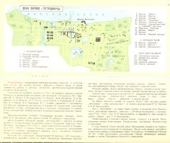
Leningrad-1977 Peterhof Petrodvorets Map
2152 miles away
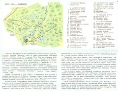
Leningrad-1977 Pavlosk Map
2152 miles away

