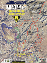
Dead Horse Trail System Map
Trail map of area surrounding Dead Horse State Park in Clarkdale, Arizona
425 miles away
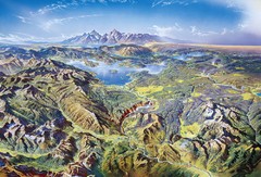
Yellowstone oblique Map
Oblique Panorama map of Yellowstone National Park
426 miles away
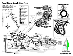
Dead Horse Ranch State Park Map
Map of park with detail of trails and recreation zones
426 miles away
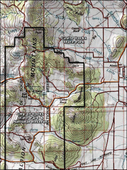
City of Rocks Topo Map
This topo map does not do justice to City of Rocks which is a wonderful reserve that is managed by...
427 miles away
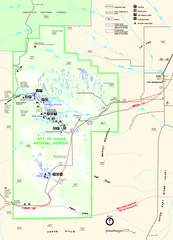
City of Rocks Park Map
This is the official Map for the reserve
427 miles away
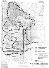
Sites of Cultural Importance, City of Rocks Area...
427 miles away
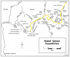
Grand Canyon River Expedition Map
Guide to the Colorado River, rapids and washes
428 miles away
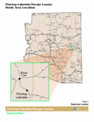
Arizona Highway Map
429 miles away
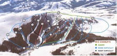
Pomerelle Ski Area Ski Trail Map
Trail map from Pomerelle Ski Area, which provides downhill, night, and terrain park skiing. It has...
431 miles away
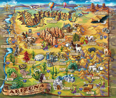
Arizona Fun Map
431 miles away
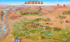
Northern Arizona attractions Map
431 miles away
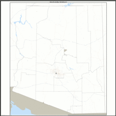
Arizona Zip Code Map
Check out this Zip code map and every other state and county zip code map zipcodeguy.com.
431 miles away
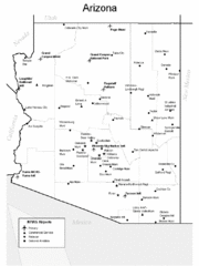
Arizona Airports Map
431 miles away
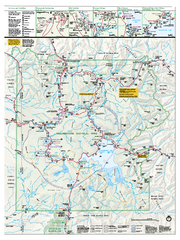
Yellowstone National Park official map
Official NPS map of Yellowstone National Park. Detail map of park with shaded relief. Established...
431 miles away
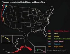
US Tsunami Events Map
Shows tsunami events in the US and Puerto Rico from 900 to 1964. Map not to scale. This map shows...
431 miles away
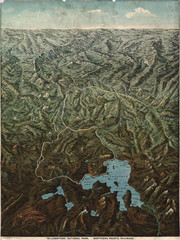
Fee’s map of Yellowstone National Park...
Charles S. Fee's map of Yellowstone in 1895.
434 miles away
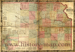
Kansas Railroad Map 1867
Here for your perusal is a sectional map of the state of Kansas showing the route of the Union...
434 miles away
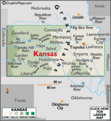
Kansas Elevations Map
434 miles away
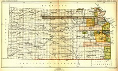
Kansas Native American Territories 1866-1867 Map
489., 492 Cherokee, 19 Jul 1866 (on Indian Territory Map 22, Kansas, Map 27) 495. Sauk and Fox of...
434 miles away
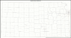
Kansas Zip Code Map
Check out this Zip code map and every other state and county zip code map zipcodeguy.com.
434 miles away
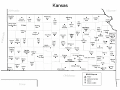
Kansas Airports Map
434 miles away
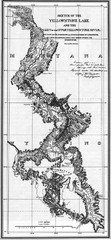
1871 Yellowstone River and Lake Map
Historic guide to the Yellowstone River and Lake in Yellostone National Park
436 miles away
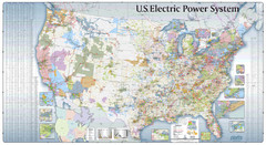
US Electric Power System Map
Map showing the US electric power system. from site: "shows power generation and transmission...
436 miles away
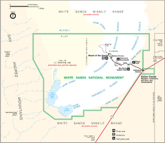
White Sands National Monument Map
438 miles away
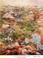
Detail of Yellowstone National Park, 1910 Map
Detail of Yellowstone National Park showing the Oregon Short Line Railroad, 1910
442 miles away
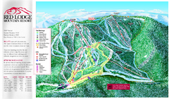
Red Lodge Mountain Ski Trail Map
Trail map from Red Lodge Mountain.
444 miles away
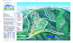
Red Lodge Mountain Ski Trail Map
Official ski trail map of Red Lodge Mountain ski area from the 2007-2008 season.
444 miles away

Little Big Horn Battlefield National Monument Map
Official NPS map of the Little Big Horn Battlefield National Monument. This area memorializes...
446 miles away

Kansas Map Circa 1910
447 miles away
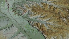
Custer Battlefield Oblique Map
448 miles away
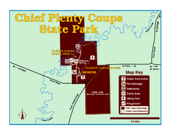
Chief Plenty Coups State Park Map
Simple and clear map of State Park.
449 miles away

Theodore Roosevelt Lake Recreation Sites Map
Multiple camping, hiking, climbing and road sites.
449 miles away
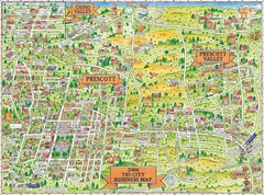
Prescott Prescott Valley and Chino Valley Tourist...
Tri-city tourist map of Prescott, Arizona, Prescott Valley, Arizona, and Chino Valley, Arizona...
451 miles away
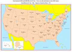
Electoral Votes by State Map
Electoral vote distribution by state
451 miles away
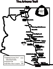
Arizona Trail Progress Map
Basic outline map of Arizona Trail. Other Maps available through BLM. There are links at the...
452 miles away
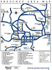
Prescott Area Map
452 miles away
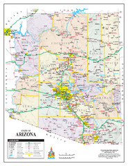
Arizona State Road Map
Arizona state road map
453 miles away
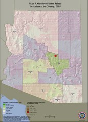
Cannabis Seized in Arizona Map 2005
Shows outdoor plants and sites seized in Arizona, by county, in 2005.
453 miles away
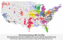
NFL Fan Bases Map
Shows US fan bases of NFL teams
453 miles away

