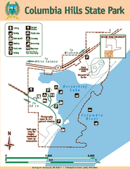
Columbia Hills State Park Map
Map of park with detail of trails and recreation zones
103 miles away
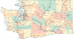
Washington Road Map
Road map of state of Washington
105 miles away
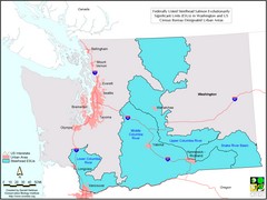
Washington Steelhead Salmon Map
Shows federally listed steelhead salmon evolutionarily significant units in Washington state.
105 miles away
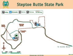
Steptoe Butt State Park Map
Map of park with detail of trails and recreation zones
106 miles away
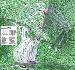
White Pass Ski Area Ski Trail Map
Trail map from White Pass Ski Area, which provides downhill, nordic, and terrain park skiing. It...
106 miles away
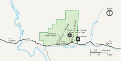
Clarno Unit John Day Fossils Beds National...
110 miles away
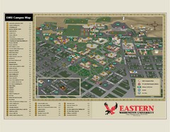
Eastern Washington University Campus Map
Campus map of Eastern Washington University in Cheney, Washington
115 miles away
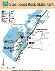
Steamboat Rock State Park Map
Map of park with detail of trails and recreation zones
115 miles away
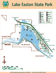
Lake Easton State Park Map
Map of island with detail of trails and recreation zones
115 miles away
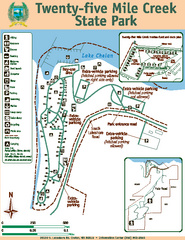
Twenty-Five Mile Creek State Park Map
Map of park with detail of trails and recreation zones
116 miles away
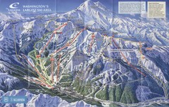
Crystal Mountain Resort Ski Trail Map
Trail map from Crystal Mountain Resort, which provides downhill skiing. It has 10 lifts servicing...
116 miles away
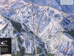
Crystal Mountain Resort Northway Inset Ski Trail...
Trail map from Crystal Mountain Resort, which provides downhill skiing. It has 10 lifts servicing...
116 miles away
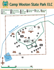
Camp Wooten State Park Map
Map of park with detail of trails and recreation zones
116 miles away
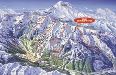
Crystal Mountain Ski Trail Map
Official ski trail map of Crystal Mountain ski area from the 2007-2008 season. 2600 acres of...
116 miles away
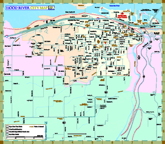
Hood River Map
Tourist map of city of Hood River, Oregon.
117 miles away
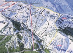
Crystal Mountain Ski Trail Map - Northway Area
Official ski trail map of the Northway area of Crystal Mountain ski area from the 2007-2008 season...
117 miles away
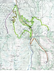
White River 50 Course Map
White River 50 Mile Trail Run
117 miles away
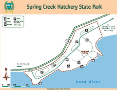
Spring Creek Hatchery State Park map
Map of park with detail of trails and recreation zones
119 miles away
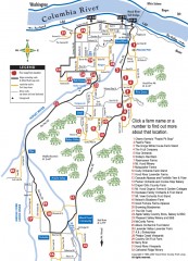
Hood River County Fruit Loop map
35-mile scenic drive through the valley's orchards, forests, farmlands, and friendly...
119 miles away
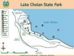
Lake Chelan State Park Map
Map of island with detail of trails and recreation zones
120 miles away
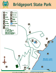
Bridgeport State Park Map
Map of park with detail of trails and recreation zones
121 miles away
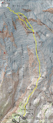
Mount Rainier Climbing Map
Guide to climbing Mount Rainier, Camp Muir Route
122 miles away
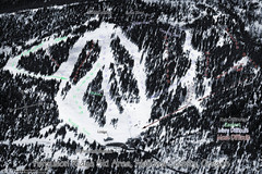
Ferguson Ridge Ski Trail Map
Trail map from Ferguson Ridge.
123 miles away
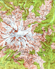
Mount Rainier Topographic Map
Guide to topography and glaciers of Mount Rainier
123 miles away
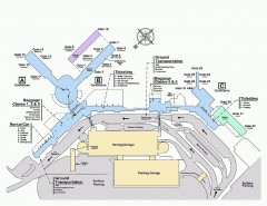
Spokane International Airport Terminal Map
Official Map of Spokane International Airport in Washington state. Shows all terminals.
123 miles away
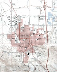
Baker City, Oregeon Tourist Map
123 miles away
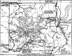
1928 Mount Rainier National Park Map
Guide to Mount Rainier National Park in 1938
125 miles away
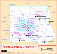
Mount Rainier National Park Vicinity Map
125 miles away
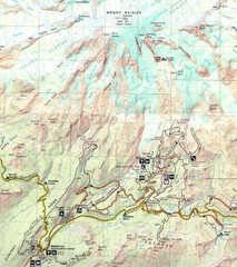
Pinnacle Saddle Trail Map
125 miles away
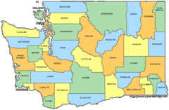
Washington State Counties Map
125 miles away
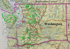
Washington State Road and Recreation Map
125 miles away
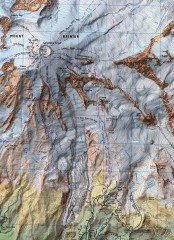
Mt. Rainier Climbing Routes Map
Shows major climbing routes on Mt. Rainier on southwest part of mountain.
125 miles away
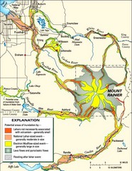
Mount Rainier Potential Lava Flow, Mud Flow and...
Hazard zones for lahars, lava flows, and pyroclastic flows from Mount Rainier. The map shows areas...
125 miles away
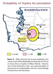
Mount Rainier Probability of Tephra (Ash...
125 miles away
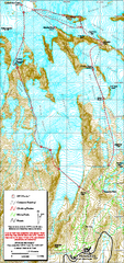
Mount Rainier Paradise Climbing Route map
Map shows all hiking and climbing routes originating from Paradise at 5,400 ft.
126 miles away
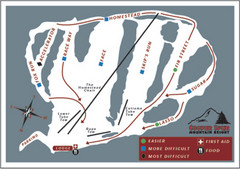
Cooper Spur Ski Area Ski Trail Map
Trail map from Cooper Spur Ski Area.
126 miles away
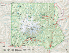
Mount Rainier National Park map
Official NPS map of Mt. Rainier National Park. Shows the entire park and surroundings
126 miles away
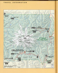
Mount Rainier National Park Map
Guide to the Mount Rainier National Park
126 miles away
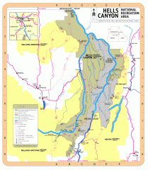
Hells Canyon National Recreation Area Map
Official Forest Service map of the Hells Canyon National Recreation Area. Shows roads, trails...
126 miles away

Mt. Rainier 3D Print Map
This is a 3D-printed map of the cone of Mt. Rainier in Washington, USA, including Liberty Cap, many...
127 miles away

