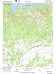
Bella Vista Quad - Shasta Lake Map
Topographic map, Bella Vista Quadrangle, California 1976. Area of map includes a portion of Shasta...
244 miles away
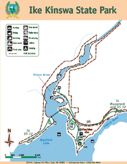
Ike Kinswa State Park Map
Map of park with detail of trails and recreation zones
244 miles away
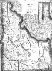
Idaho 1883 Map
245 miles away
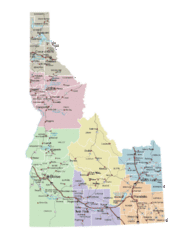
Idaho Road Map
245 miles away
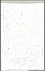
Idaho Zip Code Map
Check out this Zip code map and every other state and county zip code map zipcodeguy.com.
245 miles away
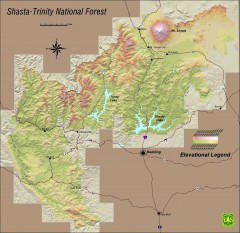
Shasta Trinity National Forest Elevation Map
Shaded relief map of Shasta-Trinity National Forest in northern California
245 miles away
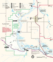
Hagerman Fossil Beds National Monument Map
Official map of Hagerman Fossil Beds National Monument in Hagerman, Idaho
245 miles away
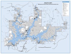
Shasta Unit - Whiskeytown-Shasta-Trinity National...
Map of Shasta Lake, California, showing roads, campgrounds, marinas and resorts, hiking and biking...
246 miles away
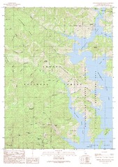
Bohemotash Mountain Quad - Shasta Lake Map
Topographic map, Bohemotash Mountain Quadrangle, California 1990. Area of map includes a portion of...
247 miles away
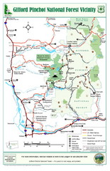
Gifford Pinchot National Forest Vicinity Map
Gifford Pinchot National Forest and surrounding areas including Mt. St Helens.
248 miles away
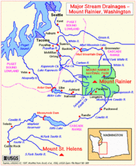
Mount Rainier Major Stream Drainages Map
249 miles away
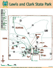
Lewis and Clark State Park Map
Map of park with detail of recreation zones and trails
250 miles away
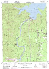
Shasta Dam Quad - Shasta Lake Map
Topographic map, Shasta Dam Quadrangle, California 1969. Area of map includes a portion of Shasta...
251 miles away
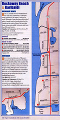
Rockaway Beach Map
251 miles away
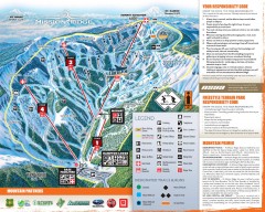
Mission Ridge Ski Trail Map
Official ski trail map of Mission Ridge ski area from the 2007-2008 season.
251 miles away
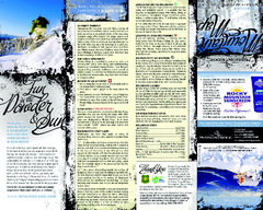
Mission Ridge Ski Area Ski Trail Map
Trail map from Mission Ridge Ski Area, which provides downhill, night, and terrain park skiing. It...
252 miles away
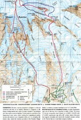
Mount Rainier Topo Map
Map of Mount Rainier Ascent. We ascended the "Muir Snowfield" and then went up the "...
252 miles away
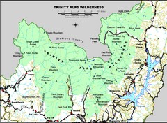
Trinity Alps Wilderness Map
Overview map of the Trinity Alps Wilderness near Weaverville, CA
252 miles away
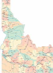
Idaho Road Map
254 miles away
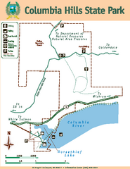
Columbia Hills State Park Map
Map of park with detail of trails and recreation zones
254 miles away
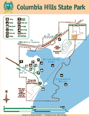
Columbia Hills State Park Map
Map of park with detail of trails and recreation zones
255 miles away
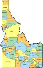
Idaho Counties Map
255 miles away
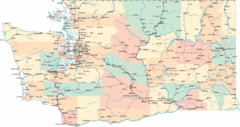
Washington Road Map
Road map of state of Washington
255 miles away
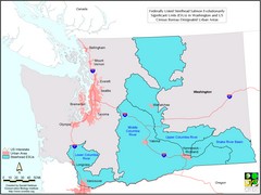
Washington Steelhead Salmon Map
Shows federally listed steelhead salmon evolutionarily significant units in Washington state.
255 miles away
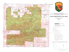
Latour State Forest Map
Countour map of the Latour Demonstration Forest.
256 miles away
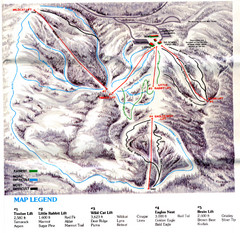
Iron Mountain Trail Map
Iron Mountain ski area
257 miles away
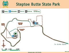
Steptoe Butt State Park Map
Map of park with detail of trails and recreation zones
257 miles away
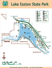
Lake Easton State Park Map
Map of island with detail of trails and recreation zones
258 miles away
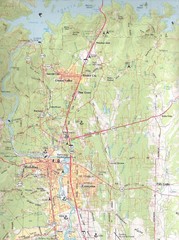
Redding, California City Map
258 miles away
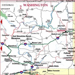
Eastern Washington Road Map
258 miles away

Pierce County Washington Map, 1909 Map
258 miles away
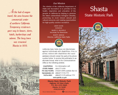
Shasta State Historic Park Map
Map of park with detail of trails and recreation zones
260 miles away

Snowmobiling Map, Elko County, Nevada
Map of snowmobiling opportunities in Elko County, Nevada. Snowmobiling areas, roads, and towns are...
261 miles away
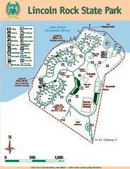
Lincoln Rock State Park Map
Map of park with detail of trails and recreation zones
261 miles away
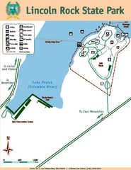
Lincoln Rock State Park Map
261 miles away
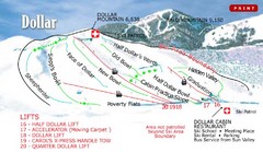
Sun Valley—Bald Mountain Ski Trail Map
Trail map from Sun Valley—Bald Mountain, which provides downhill, nordic, and terrain park skiing...
261 miles away
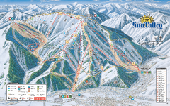
Sun Valley Ski Trail Map 2008
Ski trail map of Sun Valley ski area
261 miles away
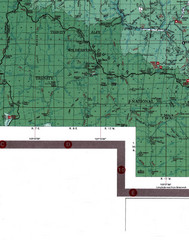
Klamath National Forest Map
Visitor Map of Klamath, eastern part of the forest, includes all roads, camp grounds, creeks, and...
262 miles away
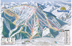
Sun Valley Ski Area Trail Map
Official ski trail map of Bald Mountain, the main mountain of Sun Valley ski area in Sun Valley...
262 miles away
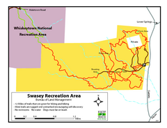
Swasey Recreation Area Map
12 Miles of trails that are great for hiking and biking. Most trails are rugged and unmarked...
262 miles away

