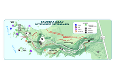
Yaquina Head Outstanding National Area Map
231 miles away
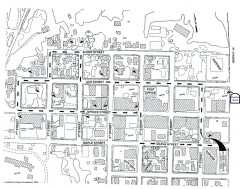
Myrtle Point walking tour Map
Walking tour map of the Historic homes of Myrtle Point in the Coquille Valley of Oregon.
231 miles away

BANKS-VERNONIA STATE TRAIL Map
231 miles away
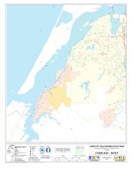
West Coos Bay Oregon Road Map
232 miles away
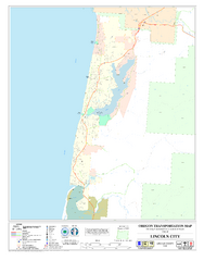
Lincoln City Oregon Road Map
235 miles away
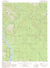
Bollibokka Mountain Quad - Shasta Lake Map
Topographic map, Bollibokka Mountain Quadrangle, California 1990. Area of map includes a portion of...
235 miles away
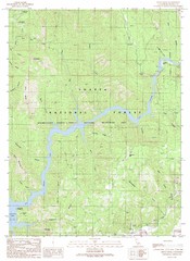
Devils Rock Quad - Shasta Lake Map
Topographic map, Devils Rock Quadrangle, California 1990. Area of map includes a portion of Shasta...
236 miles away
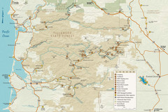
Tillamook State Forest Map
Recreation map of Tillamook State Forest. Over 60 miles of non-motorized trails and 150 miles of...
237 miles away
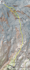
Mount Rainier Climbing Map
Guide to climbing Mount Rainier, Camp Muir Route
237 miles away
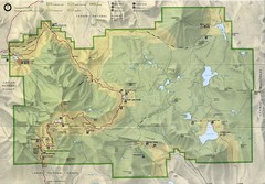
Lassen Volcanic National Park Map
237 miles away
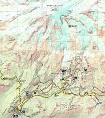
Pinnacle Saddle Trail Map
237 miles away
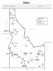
Idaho Airports Map
239 miles away
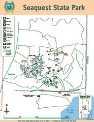
Seaquest State Park Map
Map of park with detail of trails and recreation zones
239 miles away
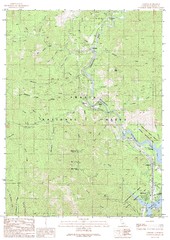
Lamoine Quad - Shasta Lake Map
Topographic map, Lamoine Quadrangle, California 1990. Area of map includes a portion of Shasta Lake...
239 miles away
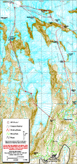
Mount Rainier Paradise Climbing Route map
Map shows all hiking and climbing routes originating from Paradise at 5,400 ft.
239 miles away

Oregon Trail Historical Map
239 miles away
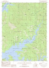
Minnesota Mountain Quad - Shasta Lake Map
Topographic map, Minnesota Mountain Quadrangle, California 1990. Area of map includes a portion of...
239 miles away
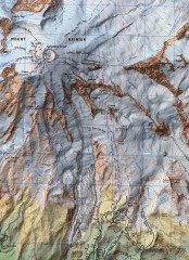
Mt. Rainier Climbing Routes Map
Shows major climbing routes on Mt. Rainier on southwest part of mountain.
240 miles away
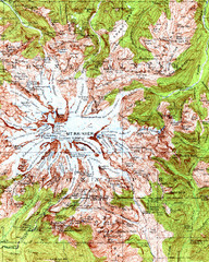
Mount Rainier Topographic Map
Guide to topography and glaciers of Mount Rainier
240 miles away
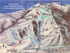
Soldier Mountain Ski Trail Map
Trail map from Soldier Mountain, which provides downhill and terrain park skiing. It has 3 lifts...
241 miles away
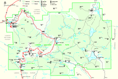
Lassen Volcanic National Park Official Park Map
Official NPS map of Lassen Volcanic National Park in California. Map shows all areas. Lassen...
241 miles away

Pullman Parks Trail Map
Trails and pathways map
241 miles away
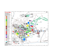
Washington State University Map
Washington State University Campus Map. All buildings shown.
241 miles away
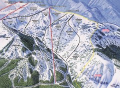
Crystal Mountain Ski Trail Map - Northway Area
Official ski trail map of the Northway area of Crystal Mountain ski area from the 2007-2008 season...
241 miles away
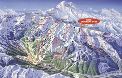
Crystal Mountain Ski Trail Map
Official ski trail map of Crystal Mountain ski area from the 2007-2008 season. 2600 acres of...
242 miles away
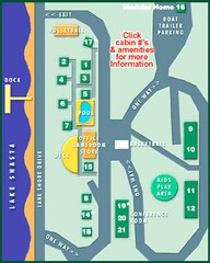
Tsasdi Resort - Shasta Lake Map
Map of the grounds of Tsasdi Resort, lakehead, CA.
242 miles away
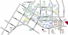
Washington State University's Greek Row Map
Map of WSU's fraternities and sororities
242 miles away
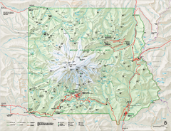
Mount Rainier National Park map
Official NPS map of Mt. Rainier National Park. Shows the entire park and surroundings
242 miles away
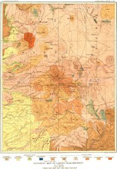
Lassen Peak District Geological Map
Geologic map of the Lassen Peak area in Lassen National Park, California. Shows sedimentary rock...
242 miles away
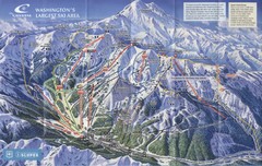
Crystal Mountain Resort Ski Trail Map
Trail map from Crystal Mountain Resort, which provides downhill skiing. It has 10 lifts servicing...
242 miles away
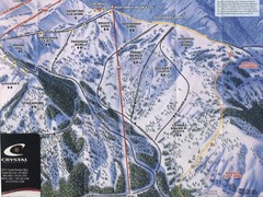
Crystal Mountain Resort Northway Inset Ski Trail...
Trail map from Crystal Mountain Resort, which provides downhill skiing. It has 10 lifts servicing...
242 miles away
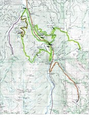
White River 50 Course Map
White River 50 Mile Trail Run
242 miles away

Mt. Rainier 3D Print Map
This is a 3D-printed map of the cone of Mt. Rainier in Washington, USA, including Liberty Cap, many...
242 miles away
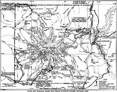
1928 Mount Rainier National Park Map
Guide to Mount Rainier National Park in 1938
242 miles away
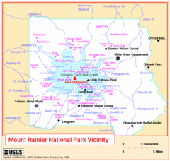
Mount Rainier National Park Vicinity Map
242 miles away
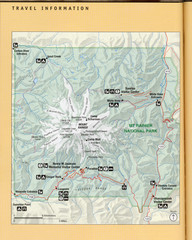
Mount Rainier National Park Map
Guide to the Mount Rainier National Park
242 miles away
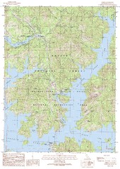
O'Brien Quad - Shasta Lake Map
Topographic map, O'Brien Quadrangle, California 1990. Area of map includes a portion of Shasta...
243 miles away
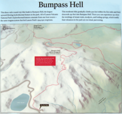
Bumpass Hell Trail Map
Trail map of route to Bumpass Hell, a major area of geo-thermal activity in Lassen National Park...
243 miles away
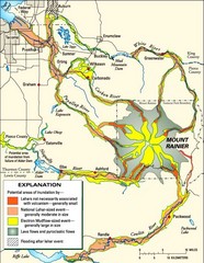
Mount Rainier Potential Lava Flow, Mud Flow and...
Hazard zones for lahars, lava flows, and pyroclastic flows from Mount Rainier. The map shows areas...
244 miles away
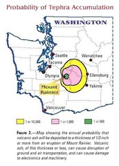
Mount Rainier Probability of Tephra (Ash...
244 miles away

