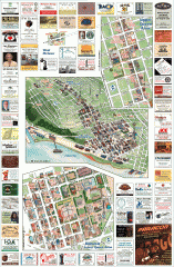
Queen Anne tourist map
Tourist map of Queen Anne, Washington. Shows all businesses.
303 miles away
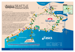
Seattle Marathon Map
Full Map of the Seattle Marathon with run details and location.
303 miles away
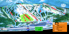
Boreal Mountain Resort Ski Trail Map
Trail map from Boreal Mountain Resort, which provides downhill, night, and terrain park skiing. It...
304 miles away
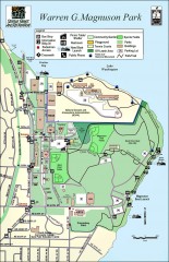
Warren G. Magnuson Park Map
Map of Warren G. Magnuson Park Warren G. Magnuson Park sits on a splendid mile-long stretch of...
304 miles away
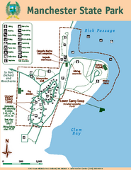
Manchester State Park Map
Map of park with detail of trails and recreation zones
304 miles away
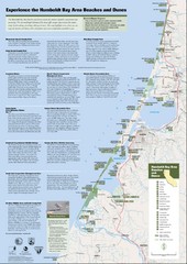
Humboldt Bay Area Beaches and Dunes Map
Humboldt Bay Beaches & Dunes Map & Guide
304 miles away
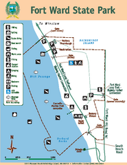
Fort Ward State Park Map
Map of park with detail of trails and recreation zones
304 miles away
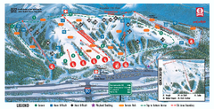
Boreal Ski Trail Map
Official ski trail map of Boreal ski area
304 miles away
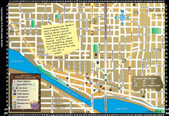
Fremont Walking Tour Map
Walking tour map of Fremont Washington in city of Seattle. Center of the known universe. Shows...
304 miles away
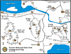
Donner Memorial State Park Campground Map
Map of park with detail of trails and recreation zones
304 miles away
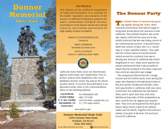
Donner Memorial State Park Map
Map of park with detail of trails and recreation zones
304 miles away
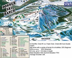
Donner Ski Ranch Ski Trail Map
Trail map from Donner Ski Ranch, which provides downhill and terrain park skiing. It has 6 lifts...
305 miles away
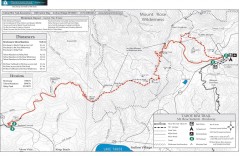
Tahoe Rim Trail: Brockway Summit to Tahoe Meadows...
Trail map of the Brockway Summit-Tahoe Meadows leg of the Tahoe Rim Trail. Bike trails, hiking...
305 miles away
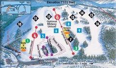
Soda Springs Ski Trail Map
Trail map from Soda Springs, which provides downhill and terrain park skiing. It has 2 lifts...
305 miles away

Magnolia tourist map
Tourist map of Magnolia, Washington. Shows all businesses.
305 miles away
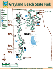
Grayland Beach State Park Map
Map of park with detail of trails and recreation zones
305 miles away
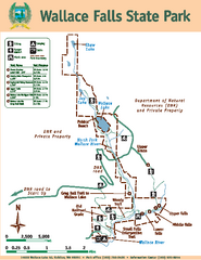
Wallace Falls State Park Map
Map of park with detail of trails and recreation zones
305 miles away
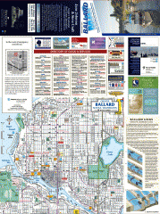
Ballard tourist map
Tourist map of Ballard, Washington and Green Lake Park. Shows all businesses.
306 miles away
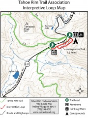
Tahoe Rim Trail: Interpretive Loop, Lake Tahoe...
Trail map of the Tahoe Rim Trail's Interpretive Loop Trail. Shows both trails, camping...
306 miles away
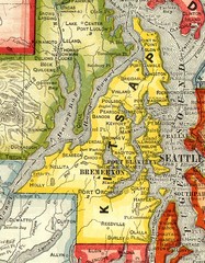
Kitsap County Washington, 1909 Map
306 miles away
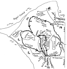
Discovery Park Walking Map Seattle Map
You can walk the Historic Parade Grounds in Fort Lawton (1.5 miles) and/or the 2.8 mile Trail Loop...
306 miles away
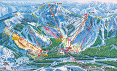
Sugar Bowl Resort Ski Trail Map
Trail map from Sugar Bowl Resort, which provides downhill and terrain park skiing. It has 12 lifts...
306 miles away
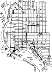
Ballard, Seattle walking map
Start/finish at the Crittendon Locks in Ballard, Seattle. The total map is 6.4 miles, but has...
306 miles away
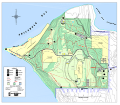
Discovery Park trail map
Trail and facility map of Discovery Park. Discovery Park is a 534 acre natural area park operated...
306 miles away
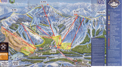
Sugar Bowl Ski Trail Map
Ski trail map of Sugar Bowl ski area from the 2008-09 season. Scanned.
306 miles away
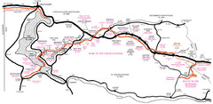
Trail of the Coeur d'Alenes Map
Shows the Trail of the Coeur d'Alenes, a 72 mile bike path that follows the Union Pacific...
306 miles away
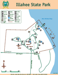
Illahee State Park Map
Map of park with detail of trails and recreation zones
306 miles away
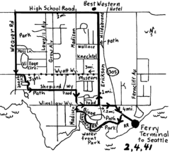
Bainbridge Walking Map
From Seattle Ferry Terminal, take the Bainbridge Ferry to Winslow. The walk is 4 miles with...
306 miles away
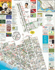
Ballard tourist map
Tourist map of Ballard, Washington. Shows all businesses.
306 miles away
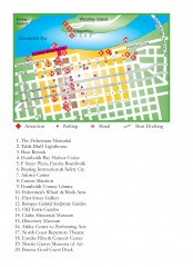
Old Town, Eureka, California Map
Tourist map of the Old Town area of Eureka, California. Shows various attractions including murals...
306 miles away
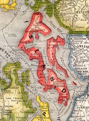
Island County Washington, 1909 Map
307 miles away
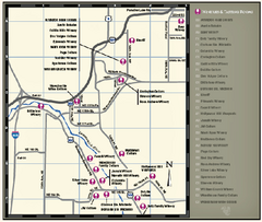
Woodinville Wine Country Map
Map of wineries in the Woodinville, WA area
307 miles away

Woodinville tourist map
Tourist map of Woodinville, Washington. Shows all businesses.
307 miles away
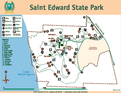
Saint Edward State Park Map
Map of park with detail of trails and recreation zones
307 miles away
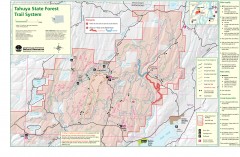
Tahuya State Forest Trail Map
Shows trails of Tahuya State Forest. Show roads, doubletrack, singletrack, and 4WD only.
307 miles away
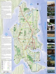
Bainbridge Island Hiking and Biking Map
Shows trails and bike routes on Bainbridge Island, Washington in the Puget Sound. Also shows...
307 miles away
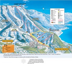
Diamond Peak Ski Trail Map
Official ski trail map of Diamond Peak ski area from the 2007-2008 season.
307 miles away
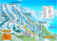
Diamond Peak Ski Trail Map
Trail map from Diamond Peak.
307 miles away
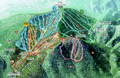
Northstar Ski Trail Map
Official ski trail map of Northstar-at-Tahoe ski area from the 2007-2008 season.
308 miles away
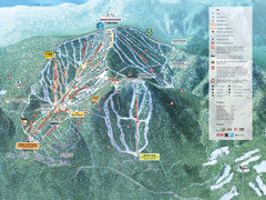
Northstar-at-Tahoe Ski Trail Map
Official trail map of Northstar-at-Tahoe ski area from the 2009-2010 season
308 miles away

