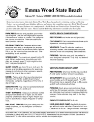
Emma Wood State Beach Campground Map
Map of campground region of park with detail of trails and recreation zones
240 miles away

SCAT Shuttle Map: Ventura Harbor to Downtown...
Shuttle bus route map of SCAT Shuttle between Ventura Harbor and downtown Ventura, California...
241 miles away

San Buenaventura Map
242 miles away
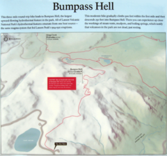
Bumpass Hell Trail Map
Trail map of route to Bumpass Hell, a major area of geo-thermal activity in Lassen National Park...
243 miles away
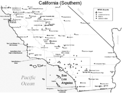
Southern California Airports Map
243 miles away
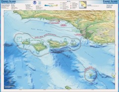
Channel Islands National Marine Sanctuary Map
Topo and bathymetric map of Channel Islands National Marine Sanctuary, located about 23 miles from...
243 miles away
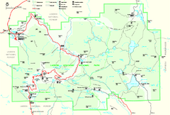
Lassen Volcanic National Park Official Park Map
Official NPS map of Lassen Volcanic National Park in California. Map shows all areas. Lassen...
245 miles away
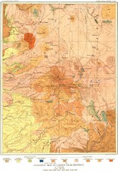
Lassen Peak District Geological Map
Geologic map of the Lassen Peak area in Lassen National Park, California. Shows sedimentary rock...
245 miles away
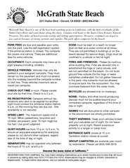
McGrath State Beach Campground Map
Map of beach and park with detail of trails and recreation zones
246 miles away
McGrath State Beach Map
Map of beach and park with detail of trails and recreation zones
246 miles away
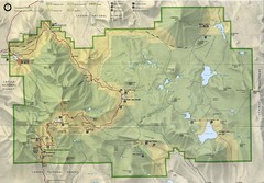
Lassen Volcanic National Park Map
248 miles away
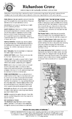
Richardson Grove State Park Campground Map
Map of campground region of park with detail of trails and recreation zones
248 miles away
Richardson Grove State Park Map
Map of park with detail of trails and recreation zones
248 miles away
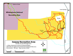
Swasey Recreation Area Map
12 Miles of trails that are great for hiking and biking. Most trails are rugged and unmarked...
249 miles away
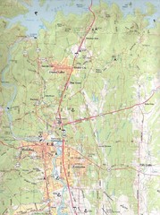
Redding, California City Map
250 miles away
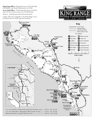
King Range National Conservation Area Trail Map
Trail map of the King Range National Conservation Area, home of the Lost Coast, California. Shows...
250 miles away
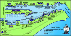
Channel Islands Harbor, California Map
Tourist map of Channel Islands Harbor, California. Shows water taxi stops, restaurants, parks, and...
250 miles away
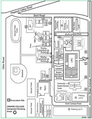
Oxnard College Map
250 miles away
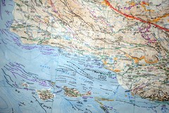
Oxnard California Fault Lines Map
FAULT MAP OF THE SANTA BARBARA TO OXNARD COASTAL AREA THE MESA-RINCON CREEK FAULT LIES DIRECTLY...
250 miles away
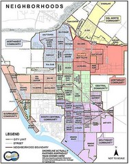
Oxnard California Neighborhoods Map
Neighborhoods: * Del Norte District o El Rio o El Rio West o...
250 miles away
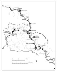
Humboldt Redwoods State Park Map
Park map of Humboldt Redwoods State Park, California. Shows Avenue of the Giants, trailheads and...
252 miles away
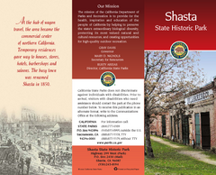
Shasta State Historic Park Map
Map of park with detail of trails and recreation zones
252 miles away
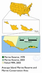
Anacapa Island Marine Reserve Map
253 miles away
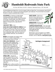
Humboldt Redwoods State Park Campground Map
Map of campground region park with detail of trails and recreation zones
254 miles away
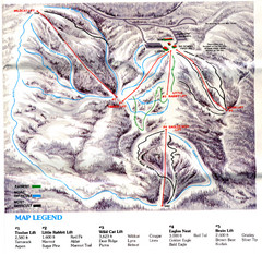
Iron Mountain Trail Map
Iron Mountain ski area
257 miles away
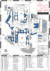
California State University Channel Islands Map
Campus Map
257 miles away
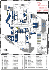
California State University Channel Islands...
Campus map of California State University Channel Islands (CSUCI).
257 miles away
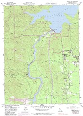
Shasta Dam Quad - Shasta Lake Map
Topographic map, Shasta Dam Quadrangle, California 1969. Area of map includes a portion of Shasta...
260 miles away
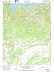
Bella Vista Quad - Shasta Lake Map
Topographic map, Bella Vista Quadrangle, California 1976. Area of map includes a portion of Shasta...
261 miles away
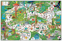
Six Flags Magic Mountain Theme Park Map
Official park map of Six Flags Magic Mountain, California.
261 miles away
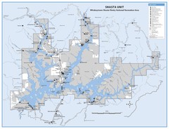
Shasta Unit - Whiskeytown-Shasta-Trinity National...
Map of Shasta Lake, California, showing roads, campgrounds, marinas and resorts, hiking and biking...
262 miles away
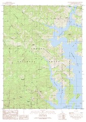
Bohemotash Mountain Quad - Shasta Lake Map
Topographic map, Bohemotash Mountain Quadrangle, California 1990. Area of map includes a portion of...
263 miles away
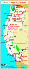
Major West Coast Volcanoes (Washington, Oregon...
263 miles away

Weaverville Joss House State Historic Park Map
Map of park with detail of trails and recreation zones
264 miles away
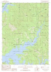
Minnesota Mountain Quad - Shasta Lake Map
Topographic map, Minnesota Mountain Quadrangle, California 1990. Area of map includes a portion of...
265 miles away
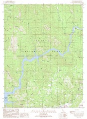
Devils Rock Quad - Shasta Lake Map
Topographic map, Devils Rock Quadrangle, California 1990. Area of map includes a portion of Shasta...
265 miles away
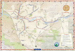
Santa Clarita Trail Map
265 miles away
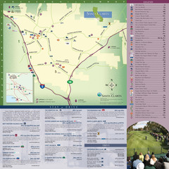
Santa Clarita Tourist Map
Tourist map of Santa Clarita, California
265 miles away
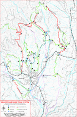
Weaverville Basin Trail System Map
Guide to trails near Weaverville, CA
265 miles away
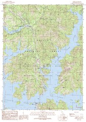
O'Brien Quad - Shasta Lake Map
Topographic map, O'Brien Quadrangle, California 1990. Area of map includes a portion of Shasta...
266 miles away

