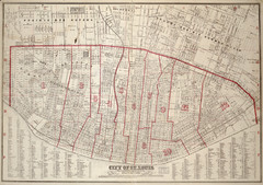
St. Louis - 1870 - Cadastral Map
725 miles away
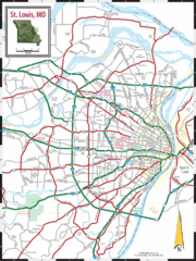
St. Louis, Missouri City Map
725 miles away
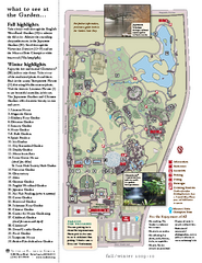
Missouri Botanic Gardens Map
725 miles away
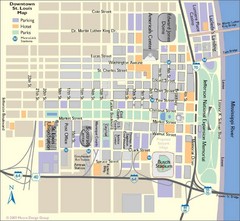
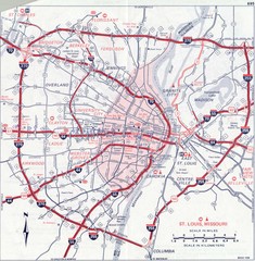
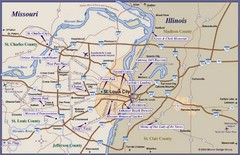
St. Louis, MO Tourist Map
725 miles away
St. Louis, MO Tourist Map
725 miles away
St. Louis, MO Tourist Map
725 miles away

Fountain Lakes Trail Map
Aerial map of trails at Fountain Lakes Park, 145 acres
725 miles away
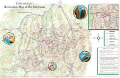
San Juan Mountains Trail Map
726 miles away
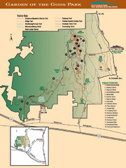
Garden of the Gods Park Map
726 miles away
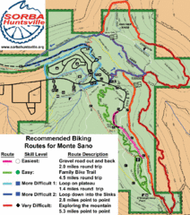
Monte Sano State Park Bike Routes Map
Recommended Biking Routes for Monte Santo with Easy to difficult routes marked.
726 miles away
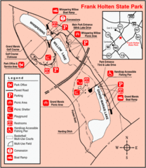
Frank Holten State Park, Illinois Site Map
727 miles away
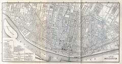
Antique map of St. Louis from 1885
Map of Saint Louis, Missouri from Appletons' General Guide to the United States and Canada...
728 miles away
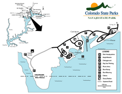
Navajo State Park Map
Map of park with detail of recreation zones
728 miles away
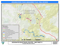
Arkansas River Near Fremont County, Colorado Map
728 miles away
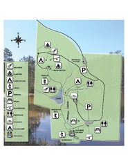
Falling Waters State Recreation Area Map
Map of park with detail of trails and recreation zones
729 miles away
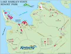
Lake Barkley State Resort Park Map
Map of the trails and facilities of Lake Barkley State Resort Park.
729 miles away
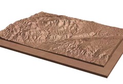
Pikes Peak, Colorado carved by CarvedMaps.com Map
Pikes Peak in Colorado has been carved by CarvedMaps.com This company can carve anywhere within...
729 miles away
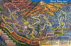
Bisbee, AZ Stairclimb 2010 Map
5K race map. This map does not do the website justice. Definitely a must-see.
729 miles away
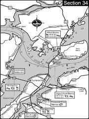
Guntersville, AL Tennessee River/Lake...
For boating navigational information and river road travel along the Tennessee River. This section...
730 miles away
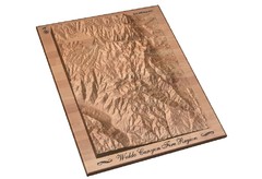
Waldo Canyon Fire Area Map
730 miles away

Horseshoe Lake State Park, Illinois Site Map
732 miles away
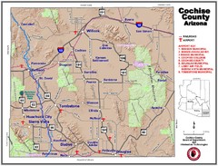
Cochise County Map
733 miles away
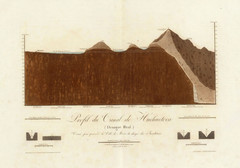
Huehuetoca Canal, Mexico Map
An old physical description of the Huehuetoca Canal in Mexico
733 miles away
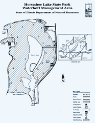
Horseshoe Lake State Park, Illinois Site Map
733 miles away
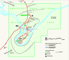
Horseshoe Bend National Military Park Official Map
Official NPS map of Horseshoe Bend National Military Park in Alabama. Horseshoe Bend National...
733 miles away
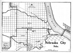
Nebraska City 1920 Map
734 miles away
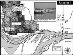
Grafton, IL Illinois River/Mississippi River/Pere...
This is the end of the Illinois River at the confluence with the Mississippi River. For boating...
734 miles away
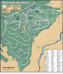
White Rock Road Map
Large and detailed map marking points of interest and roads.
734 miles away
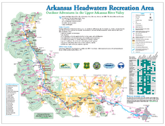
Arkansas Headwaters Recreation Area map
Detailed map for Arkansas Headwaters Recreation Area in Colorado
735 miles away
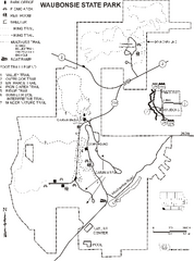
Waubonsie State Park Map
Map of trails and park facilities in Waubonsie State Park.
736 miles away

Mexico City (Distrito Federal) Map - North
Detailed street map of the north part of Mexico City (Distrito Federal). In Spanish.
736 miles away
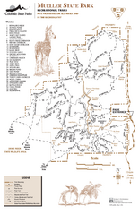
Mueller State Park Trail Map
Map of park with detail of hiking trails
736 miles away
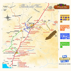
Wine Route Map
Map of various wine tour routes throughout Mexico
737 miles away
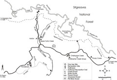
Tonto Creek in Tonto National Forest Map
Printable map for Tonto Creek area of Tonto National Forest with creek and amenenties shown on map.
737 miles away

Columbia Bottom Conservation Area Map
737 miles away

Upper Mississippi River Mile 188 to Mile 256 Map
history, mississippi river, river, baton rouge, donaldsonville, nottoway, gramercy, new orleans...
737 miles away
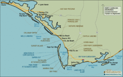
Mexico Beach, Florida Tourist Map
737 miles away
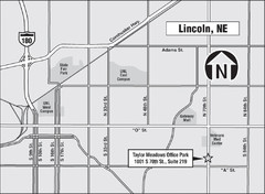
Lincoln, Nebraska Map
738 miles away
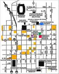
Downtown Lincoln, Nebraska Map
Red is the Nebraska History Museum. School bus parking is on the west side of 15th Street in front...
738 miles away
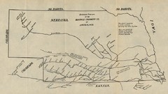
Skimming Stations of the Beatrice Creamery...
"Skimming Stations of the Beatrice Creamery Co. of Lincoln, Neb." From Report of the...
738 miles away

