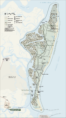
Cumberland Island National Seashore Map
Official NPS map of Cumberland Island National Seashore, Cumberland Island, Georgia. Rated #4...
1877 miles away
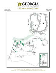
Crooked River State Park Map
Map of park with detail of trails and recreation zones
1878 miles away
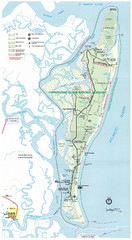
Cumberland Island Map
Map of Cumberland Island, including hiking trails and campgrounds
1879 miles away
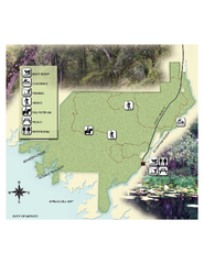
Econfina River State Park Map
Map of park with detail of trails and recreation zones
1880 miles away
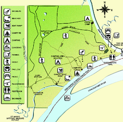
Ochlockonee River State Park Map
Map of park with detail of trails and recreation zones
1883 miles away

Putrajaya Tourist Map
1888 miles away

Route of Cortez Map
1889 miles away
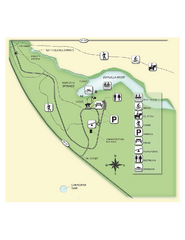
Edward Ball Wakulla Springs State Park Map
Map of park with detail of trails and recreation zones
1893 miles away
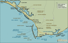
Mexico Beach, Florida Tourist Map
1903 miles away
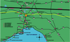
Tallahassee Freeway Map
Freeways and road leading to and from Tallahassee.
1903 miles away
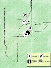
Letchworth-Love Mounds Map
Map of park with detail of trails and recreation zones
1905 miles away
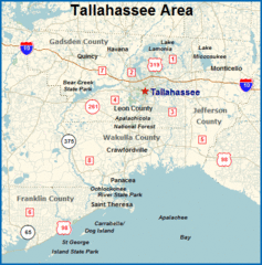
Tallahassee, Florida City Map
1906 miles away
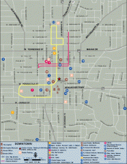
Downtown Tallahassee, Florida Map
Tourist map of downtown Tallahassee, Florida. Museums, government buildings and other points of...
1906 miles away

Florida State University Map
Florida State University campus map. All buildings shown.
1906 miles away
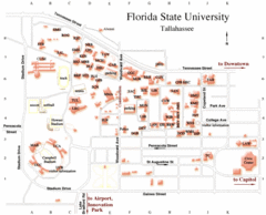
Florida State University Map
1907 miles away
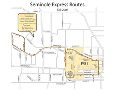
Florida State University Seminole Express Bus Map
1907 miles away
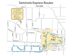
Seminole Express Bus Service Map
Bus route to Florida State University.
1907 miles away
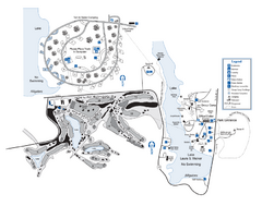
Laura S. Walker State Park Map
Map of park with detail of trails and recreation zones
1910 miles away
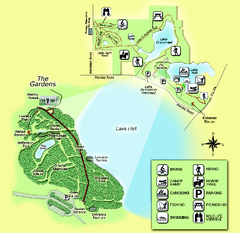
Alfred B. Maclay Gardens State Park Map
Map of park with detail of trails and recreation zones
1911 miles away
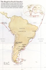
Darwin's South American Voyages 1831/36 Map
From National Geographic Magazine
1918 miles away

Lake Tallavana Parcel Map
Lake Tallavana Parcel Map
1921 miles away
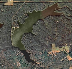
Lake Tallavana Map
Lake Tallavana aerial Map of the lake and surrounding areas.
1921 miles away
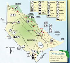
St. Andrews State Park Map
Overview map of St. Andrews State Park, #2 beach in America by TripAdvisor.com, 2008
1922 miles away
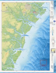
Gray's Reef National Marine Sanctuary Map
Gray's Reef National Marine Sanctuary , designated in January 1981, is one of the largest near...
1926 miles away
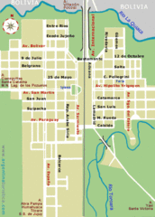
La Quiaca City Map
Street map of city
1935 miles away
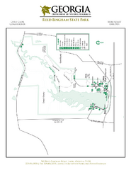
Reed Bingham State Park Map
Map of park with detail of trails and recreation zones
1938 miles away
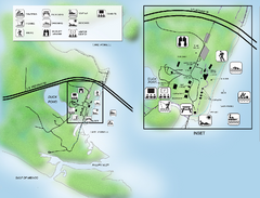
Camp Helen State Park Map
Map of park with detail of various recreation zones
1938 miles away
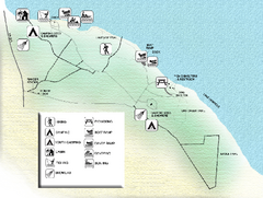
Three Rivers State Park Map
Map of park with detail of recreation zones
1940 miles away

Fort McAllister Historic Park Map
Map of park with detail of trails and recreation zones
1942 miles away
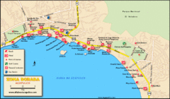
Zona Dorada Acapulco Map
Tourist site map of Zona Dorada area of Acapulco
1942 miles away
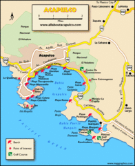
Acapulco Tourist Map
1943 miles away
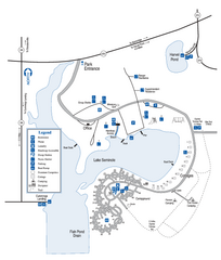
Seminole State Park Map
Map of park with detail of trails and recreation zones
1943 miles away
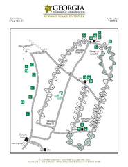
Skidaway Island State Park Map
Map of park with detail of trails and recreation zones
1945 miles away
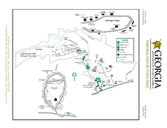
General Coffee State Park Map
Map of park with detail of trails and recreation zones
1945 miles away
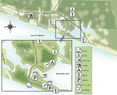
Grayton Beach State Park Map
Map of park with detail of trails and recreation zones
1945 miles away
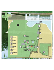
Eden Gardens State Park Map
Map of park with detail of gardens
1947 miles away
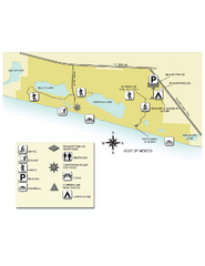
Topsail Hill Preserve State Park Map
Map of park with detail of recreation zones
1952 miles away
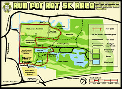
Hilton Head Run for Ret 5K Race Course Map
Hilton Head Island Run for Ret 5K Race Course, Aug 30, 2008.
1953 miles away
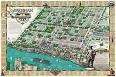
Savannah Historic District Illustrated Map
This Americana-style illustrated map depicts the Savannah Historic District from a birds-eye-view...
1953 miles away

