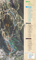
Whistler Blackcomb (Garibaldi Lift Co.) Biking...
Trail map from Whistler Blackcomb (Garibaldi Lift Co.), which provides downhill, night, and terrain...
56 miles away
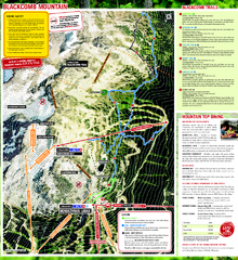
Whistler Blackcomb (Garibaldi Lift Co.) Hiking...
Trail map from Whistler Blackcomb (Garibaldi Lift Co.), which provides downhill, night, and terrain...
56 miles away
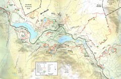
Whistler, CA Hiking and Biking Trails Map
57 miles away
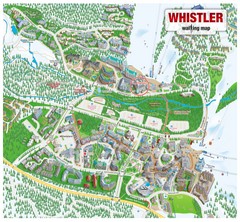
Whistler Village Map
57 miles away
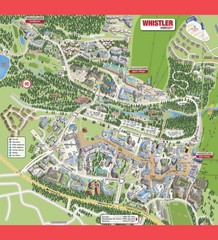
Whistler Village Map
57 miles away
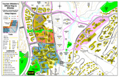
Whistler Village Map
57 miles away
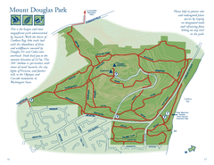
Mount Douglas Park Map
57 miles away
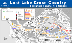
Whistler Cross Country Connection Snowshoeing Ski...
Trail map from Whistler Cross Country Connection.
57 miles away
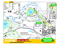
Whistler Cross Country Connection 2006–07...
Trail map from Whistler Cross Country Connection.
57 miles away
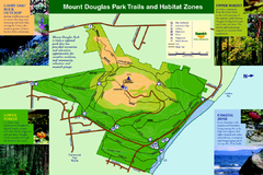
Mount Douglas Park Trails and Habitat Zones Map
57 miles away
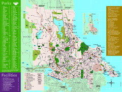
Full Map of Saanich Parks & Trails 2012
Full Map of Saanich Parks & Trails 2012
57 miles away
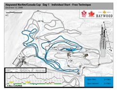
Whistler Olympic Park (Callaghan Nordic Centre...
Trail map from Whistler Olympic Park (Callaghan Nordic Centre), which provides night and nordic...
57 miles away
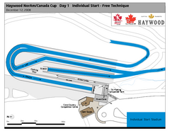
Whistler Olympic Park (Callaghan Nordic Centre...
Trail map from Whistler Olympic Park (Callaghan Nordic Centre), which provides night and nordic...
57 miles away
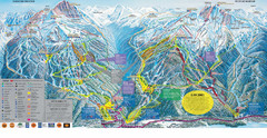
Trail Map Whistler Blackcomb
Map of all trails and ski runs at Whistler and Blackcomb mountains. Includes detailed information...
58 miles away
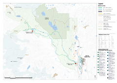
Callaghan Country Nordic Ski Trail Map
Trail map from Callaghan Country, which provides nordic skiing. This ski area opened in 1998, and...
58 miles away
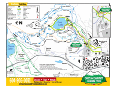
Lost Lake, Whistler Hiking and Biking Trail Map
58 miles away
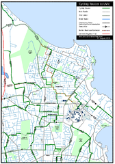
Cycling routes to UVic Map
Bike Route Map of Local Area around UVic © 2007, University of Victoria Updated 17 April...
58 miles away
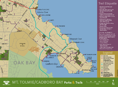
Mt. Tolmie & Cadboro Bay Map
Section of larger map, showing Seaside Touring Route and other regional and local cycling routes...
59 miles away
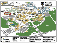
University of Victoria - Cycling Amenities Map
Showing the various cycling related amenities ie. Covered Bicycle Parking, bicycle lockers...
59 miles away
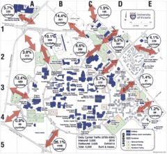
UVic Bicycle Access Patterns 2010 Map
Showing bicycle usage statistics
59 miles away
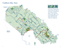
Cadboro Bay Area Map
59 miles away
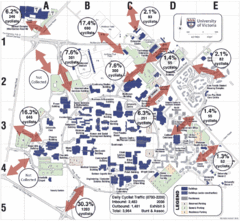
UVic Bicycle Access Patterns 2008 Map
Showing bicycle usage statistics
59 miles away

Mount Tolmie Park Map
59 miles away
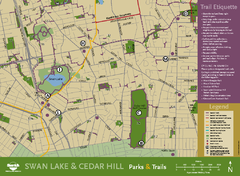
Swan Lake & Cedar Hill Area Map
Swan Lake & Cedar Hill Parks & Trails
59 miles away
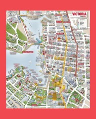
Victoria City Tourist Map
Tourist map of Victoria City on Vancouver Island, BC
62 miles away
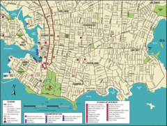
Victoria, British Columbia Tourist Map
62 miles away
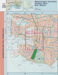
Downtown Victoria, British Columbia Tourist Map
62 miles away
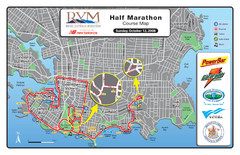
2008 Royal Victoria Half Marathon Map
Course Map for the Royal Victoria Half Marathon. Held Sunday, October 12, 2008
62 miles away

Welcome to Esquimalt Parks and Recreation...
62 miles away
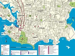
Downtown Victoria Map
62 miles away

Shuttle to Town Map
62 miles away
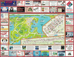
Anacortes tourist map
Tourist map of Anacortes, Washington. Shows recreation and points of interest.
62 miles away
BEACON HILL PARK MAP
63 miles away

Skagit County Washington, 1909 Map
64 miles away
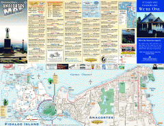
Fidalgo Island tourist map
Tourist map of Fidalgo Island in Anacortes, Washington. Shows recreation and points of interest.
64 miles away
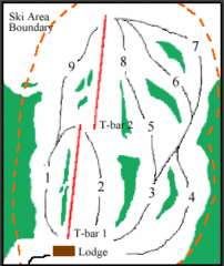
Mount Arrowsmith (Upper) Ski Trail Map
Trail map from Mount Arrowsmith (Upper).
65 miles away

