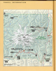
Mount Rainier National Park Map
Guide to the Mount Rainier National Park
219 miles away
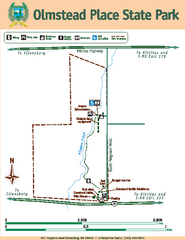
Olmstead Place State Park Map
Map of park with detail of trails and recreation zones
219 miles away
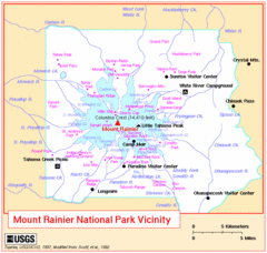
Mount Rainier National Park Vicinity Map
220 miles away
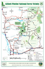
Gifford Pinchot National Forest Vicinity Map
Gifford Pinchot National Forest and surrounding areas including Mt. St Helens.
220 miles away
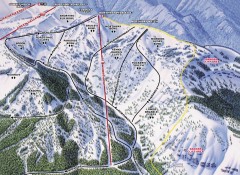
Crystal Mountain Ski Trail Map - Northway Area
Official ski trail map of the Northway area of Crystal Mountain ski area from the 2007-2008 season...
220 miles away

Burning Map 2005 Map
Artistic representation of Burning Man's Black Rock City.
221 miles away
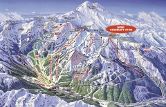
Crystal Mountain Ski Trail Map
Official ski trail map of Crystal Mountain ski area from the 2007-2008 season. 2600 acres of...
221 miles away
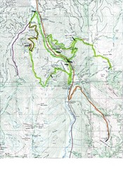
White River 50 Course Map
White River 50 Mile Trail Run
221 miles away
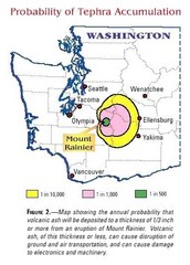
Mount Rainier Probability of Tephra (Ash...
221 miles away
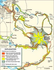
Mount Rainier Potential Lava Flow, Mud Flow and...
Hazard zones for lahars, lava flows, and pyroclastic flows from Mount Rainier. The map shows areas...
221 miles away
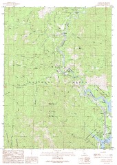
Lamoine Quad - Shasta Lake Map
Topographic map, Lamoine Quadrangle, California 1990. Area of map includes a portion of Shasta Lake...
221 miles away
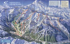
Crystal Mountain Resort Ski Trail Map
Trail map from Crystal Mountain Resort, which provides downhill skiing. It has 10 lifts servicing...
221 miles away
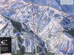
Crystal Mountain Resort Northway Inset Ski Trail...
Trail map from Crystal Mountain Resort, which provides downhill skiing. It has 10 lifts servicing...
221 miles away
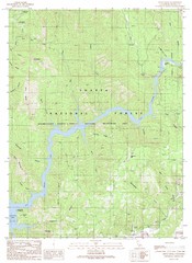
Devils Rock Quad - Shasta Lake Map
Topographic map, Devils Rock Quadrangle, California 1990. Area of map includes a portion of Shasta...
222 miles away
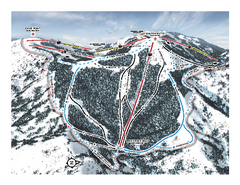
Bogus Basin Pine Creek Ski Trail Map
Trail map from Bogus Basin, which provides downhill, night, nordic, and terrain park skiing. It has...
222 miles away
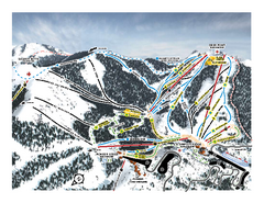
Bogus Basin Frontside Ski Trail Map
Trail map from Bogus Basin, which provides downhill, night, nordic, and terrain park skiing. It has...
222 miles away
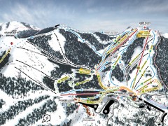
Bogus Basin Ski Trail Map - Front
Official ski trail map of frontside of Bogus Basin ski area from the 2007-2008 season.
223 miles away
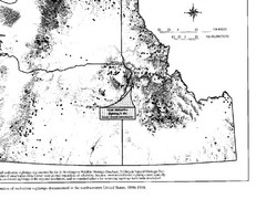
Map of Wolverine Sightings: 1886 -- 1998
223 miles away
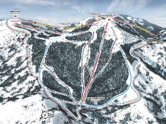
Bogus Basin Ski Trail Map - Pine Creek
Official ski trail map of Pine Creek area of Bogus Basinski area from the 2007-2008 season.
223 miles away
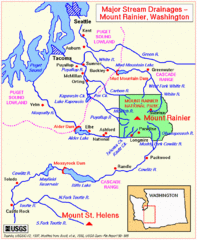
Mount Rainier Major Stream Drainages Map
224 miles away
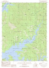
Minnesota Mountain Quad - Shasta Lake Map
Topographic map, Minnesota Mountain Quadrangle, California 1990. Area of map includes a portion of...
224 miles away
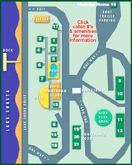
Tsasdi Resort - Shasta Lake Map
Map of the grounds of Tsasdi Resort, lakehead, CA.
224 miles away
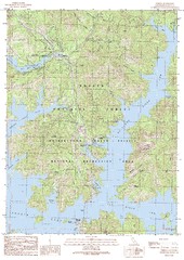
O'Brien Quad - Shasta Lake Map
Topographic map, O'Brien Quadrangle, California 1990. Area of map includes a portion of Shasta...
226 miles away
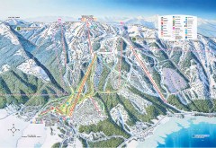
Tamarack Ski Trail Map
Official ski trail map of Tamarack ski area from the 2007-2008 season.
227 miles away
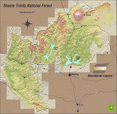
Shasta Trinity National Forest Elevation Map
Shaded relief map of Shasta-Trinity National Forest in northern California
227 miles away
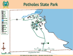
Potholes State Park Map
Map of park with detail of trails and recreation zones
227 miles away
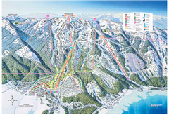
Tamarack Resort Ski Trail Map
Trail map from Tamarack Resort, which provides downhill, nordic, and terrain park skiing. It has 7...
228 miles away
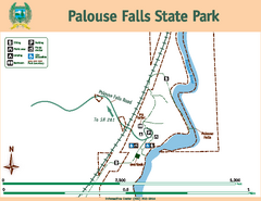
Palouse Falls State Park Map
Map of park with detail of trails and recreation zones
228 miles away
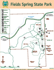
Fields Spring State Park Map
Map of park with detail of trails and recreation zones
228 miles away
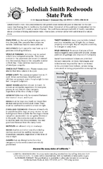
Jedediah Smith Redwoods State Park Campground Map
Map of campground region of park with detail of trails and recreation zones
229 miles away
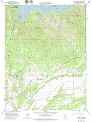
Bella Vista Quad - Shasta Lake Map
Topographic map, Bella Vista Quadrangle, California 1976. Area of map includes a portion of Shasta...
229 miles away
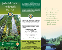
Jedediah Smith Redwoods State Park Map
Map of park with detail of trails and recreation zones
229 miles away
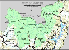
Trinity Alps Wilderness Map
Overview map of the Trinity Alps Wilderness near Weaverville, CA
229 miles away
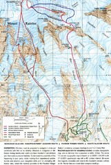
Mount Rainier Topo Map
Map of Mount Rainier Ascent. We ascended the "Muir Snowfield" and then went up the "...
229 miles away
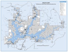
Shasta Unit - Whiskeytown-Shasta-Trinity National...
Map of Shasta Lake, California, showing roads, campgrounds, marinas and resorts, hiking and biking...
230 miles away
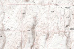
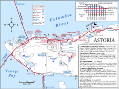
Astoria Oregon Map
A detailed topographic map of Astoria, Oregon and the Columbia River.
230 miles away
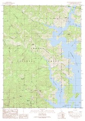
Bohemotash Mountain Quad - Shasta Lake Map
Topographic map, Bohemotash Mountain Quadrangle, California 1990. Area of map includes a portion of...
230 miles away
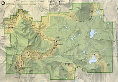
Lassen Volcanic National Park Map
231 miles away
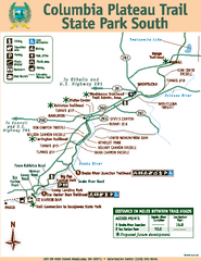
Columbia Plateau Trail State Park South Map
Map of park with detail of trails and recreation zones
231 miles away

