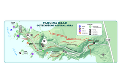
Yaquina Head Outstanding National Area Map
184 miles away
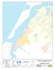
West Coos Bay Oregon Road Map
186 miles away
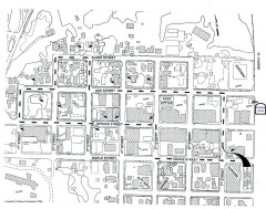
Myrtle Point walking tour Map
Walking tour map of the Historic homes of Myrtle Point in the Coquille Valley of Oregon.
187 miles away
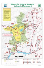
Mt. Saint Helens National Volcanic Monument...
Official recreation map showing all roads, trails, campgrounds, and other facilities. Also shows...
188 miles away
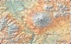
Mt. Shasta Scenic Area map
Great map of the Mt. Shasta region. Shows roads (including 4WD), mountains, lakes, and hiking...
189 miles away
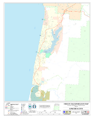
Lincoln City Oregon Road Map
189 miles away
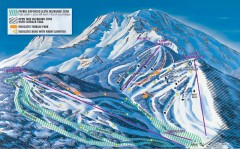
Mt. Shasta Ski Park Ski Trail Map
Official ski trail map of Mount Shasta Ski Park ski area
191 miles away
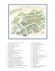
Whitman College Campus Map
Campus map of Whitman College in Walla Walla, WA
191 miles away

BANKS-VERNONIA STATE TRAIL Map
192 miles away
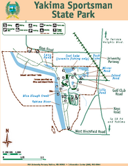
Yakima Sportsman State Park Map
Map of park with detail of trails and recreation zones
193 miles away
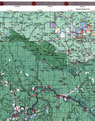
Klamath National Forest Map
Visitor Map of Klamath, western part of the park. Includes all roads, lakes, rivers and camping...
193 miles away

Yakima, Washington City Map
194 miles away
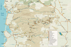
Tillamook State Forest Map
Recreation map of Tillamook State Forest. Over 60 miles of non-motorized trails and 150 miles of...
195 miles away
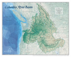
Columbia River Basin Map
196 miles away
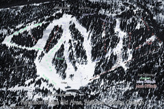
Ferguson Ridge Ski Trail Map
Trail map from Ferguson Ridge.
196 miles away
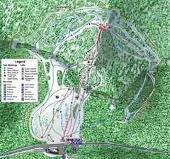
White Pass Ski Area Ski Trail Map
Trail map from White Pass Ski Area, which provides downhill, nordic, and terrain park skiing. It...
200 miles away
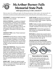
McArthur-Burney Falls Memorial State Park...
Map of park with detail of trails and recreation zones
201 miles away
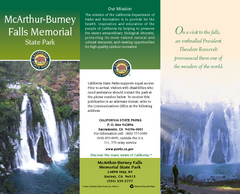
McArthur-Burney Falls Memorial State Park Map
Map of park with detail of trails and recreation zones
201 miles away
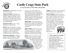
Castle Crags State Park Map
Map of park with detail of trails and recreation zones
204 miles away
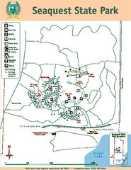
Seaquest State Park Map
Map of park with detail of trails and recreation zones
205 miles away
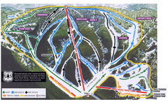
Bluewood Ski Trail Map
205 miles away
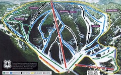
Bluewood Ski Trail Map
Trail map from Bluewood, which provides downhill, nordic, and terrain park skiing. It has 3 lifts...
205 miles away
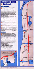
Rockaway Beach Map
208 miles away
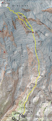
Mount Rainier Climbing Map
Guide to climbing Mount Rainier, Camp Muir Route
214 miles away
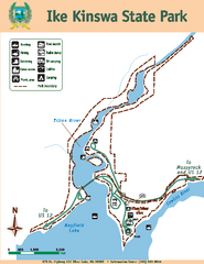
Ike Kinswa State Park Map
Map of park with detail of trails and recreation zones
214 miles away
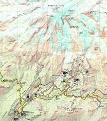
Pinnacle Saddle Trail Map
214 miles away
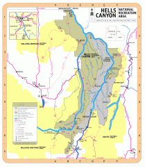
Hells Canyon National Recreation Area Map
Official Forest Service map of the Hells Canyon National Recreation Area. Shows roads, trails...
214 miles away
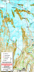
Mount Rainier Paradise Climbing Route map
Map shows all hiking and climbing routes originating from Paradise at 5,400 ft.
216 miles away
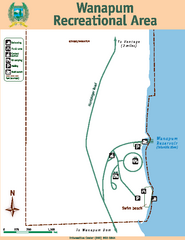
Wanapum Recreational Area Map
Map of park with detail of trails and recreation zones
216 miles away
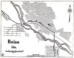
Boise Idaho 1917 Map
216 miles away
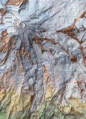
Mt. Rainier Climbing Routes Map
Shows major climbing routes on Mt. Rainier on southwest part of mountain.
217 miles away
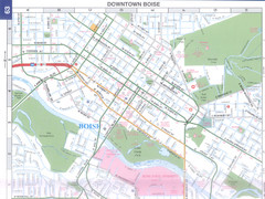
Boise, Idaho Downtown Map
Map of the downtown area of Boise, Idaho includes all streets, parks and the Boise State University.
218 miles away
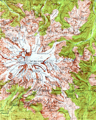
Mount Rainier Topographic Map
Guide to topography and glaciers of Mount Rainier
218 miles away
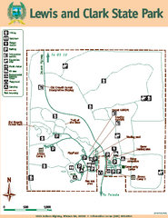
Lewis and Clark State Park Map
Map of park with detail of recreation zones and trails
218 miles away
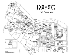
Boise State University Map
Boise State University Campus Map. All areas shown.
218 miles away
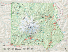
Mount Rainier National Park map
Official NPS map of Mt. Rainier National Park. Shows the entire park and surroundings
219 miles away
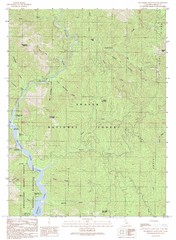
Bollibokka Mountain Quad - Shasta Lake Map
Topographic map, Bollibokka Mountain Quadrangle, California 1990. Area of map includes a portion of...
219 miles away

Mt. Rainier 3D Print Map
This is a 3D-printed map of the cone of Mt. Rainier in Washington, USA, including Liberty Cap, many...
219 miles away
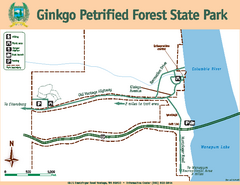
Ginkgo Petrified Forest State Park Map
Map of park with detail of trails and recreation zones
219 miles away
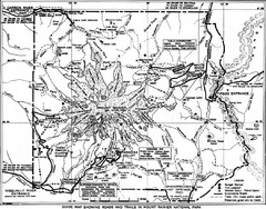
1928 Mount Rainier National Park Map
Guide to Mount Rainier National Park in 1938
219 miles away

