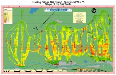
Kissing Bridge Ski Slope Map
Map of Kissing Bridge ski area; shows steepness of slopes with color-coding.
205 miles away
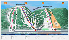
Labrador Mountain Ski Trail Map
Trail map from Labrador Mountain.
206 miles away
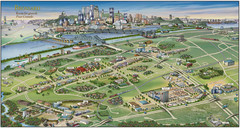
Pictorial map of Brossard
Brossard pictorial map
206 miles away
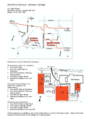
Mohawk College - Brantford Campus Map
Mohawk College - Brantford Campus Map. All areas shown.
206 miles away
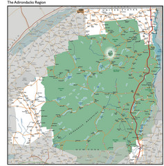
Adirondacks Lakes Map
Guide to lakes and waterways in the Adirondacks Park Preserve
207 miles away
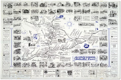
King's Highway Ontario Inn Map
Includes sketches of inns and guesthouses along the King's Highway in Ontario and...
207 miles away
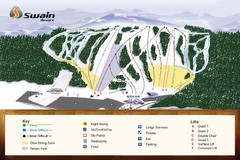
Swain Ski & Snowboard Resort Ski Trail Map
Trail map from Swain Ski & Snowboard Resort.
208 miles away
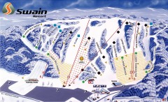
Swain Ski Trail Map
Official ski trail map of Swain Resort ski area from the 2007-2008 season.
208 miles away
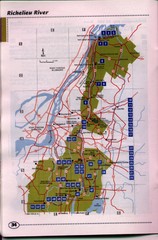
Richelieu River Guide Map
208 miles away
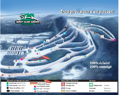
Mont Saint-Bruno Ski Trail Map
Trail map from Mont Saint-Bruno, which provides downhill skiing. This ski area has its own website.
210 miles away
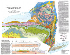
New York State Geologic Map
1:1,000,000 scale geological map of New York State
211 miles away
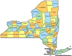
New York Counties Map
212 miles away
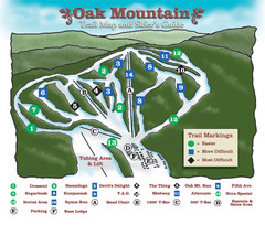
Oak Mountain Ski Center Ski Trail Map
Trail map from Oak Mountain Ski Center.
212 miles away

Manitoulin Island Map
The largest Island on a lake
212 miles away
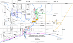
Kincardine Street & Trail Map
214 miles away

Bath-Hornell Bus Route Map
214 miles away
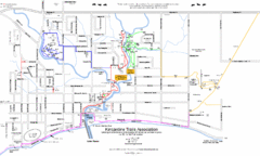
Kincardine Trail Map
Trail and street map of Kincardine, Ontario.
215 miles away
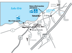
Silver Creek and Irving Map
Tourist map of Silver Creek and Irving, New York. Shows shops, boat ramps, and marinas.
215 miles away
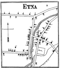
Etna 1897 City Map
Key to the Map of Etna (1897) 1. Mrs. C. Turner. 38. Blacksmith Shop. 2. J. T. Primrose. 39. Houtz...
216 miles away
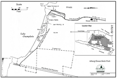
Alburg Dunes State Park map
Map of Alburg Dunes State Park in Vermont.
217 miles away
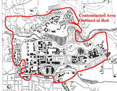
Map of Water contamination at Cornell University...
217 miles away

Cornell University Map
217 miles away
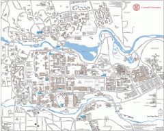
Cornell Campus Map
Map of Cornell University's Ithaca campus
217 miles away
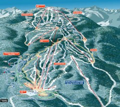
Gore Mountain Ski Trail Map
Official ski trail map of Gore Mountain ski area from the 2007-2008 season.
218 miles away
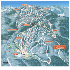
Gore Mountain Ski Trail Map
Trail map from Gore Mountain.
218 miles away
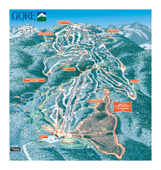
Gore Mountain Ski Trail Map
Trail map from Gore Mountain.
218 miles away
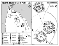
North Hero State Park Campground Map
Campground map of North Hero in Vermont
218 miles away
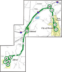
Alfred-Hornell Bus Route Map
219 miles away
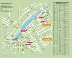
Stratford Tourist Map
Tourist map of center of Stratford, Ontario. Has street index and shows points of interest. Note...
219 miles away
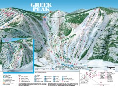
Greek Peak Ski Trail Map
Official ski trail map of Greek Peak ski area from the 2006-2007 season.
219 miles away

Greek Peak Ski Resort Ski Trail Map
Trail map from Greek Peak Ski Resort.
219 miles away
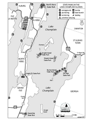
State Parks of the Champlain Islands Map
Map of the various State Parks of the Inland Sea / Lake Champlain area in Vermont
219 miles away
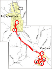
Canisteo-Hornell Bus Route Map
219 miles away
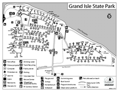
Grand Isle State Park Campground Map
Campground map for Grand Isle State Park in Vermont
220 miles away
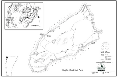
Knight Island State Park Campground Map
Map of Knight Island State Park in Vermont
220 miles away
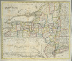
1831 Antique New York State map
The tourist's map of the state of New York : compiled from the latest authorities in the...
220 miles away
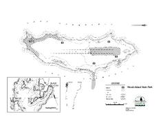
Woods Island State Park Campground Map
Campground map of Woods Island State Park in Vermont
222 miles away
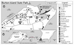
Burton Island State Park map
Campground map of Burton Island State Park in Vermont
223 miles away
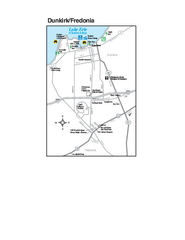
Dunkirk and Fredonia, New York Map
Tourist map of Dunkirk, New York, and Fredonia, New York. Shows shops, parks, lodging and other...
224 miles away
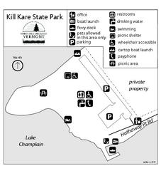
Kill Kare State Park map
Campground map of Kill Kare State park in Vermont
224 miles away

