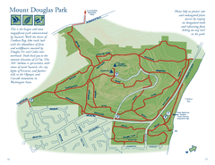
Mount Douglas Park Map
77 miles away
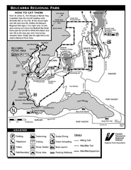
Belcarra Regional Park Trail Map
Trail map of Belcarra Regional Park, BC
77 miles away
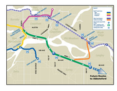
Highway 1 Rapid Bus Service Map
77 miles away
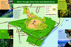
Mount Douglas Park Trails and Habitat Zones Map
77 miles away
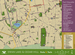
Swan Lake & Cedar Hill Area Map
Swan Lake & Cedar Hill Parks & Trails
78 miles away

Welcome to Esquimalt Parks and Recreation...
78 miles away
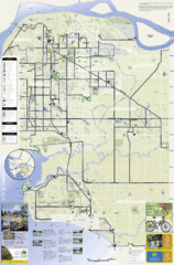
Bicycle Friendly Route Map
79 miles away

Mount Tolmie Park Map
79 miles away
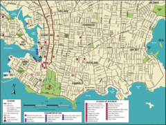
Victoria, British Columbia Tourist Map
79 miles away
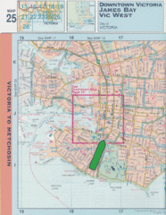
Downtown Victoria, British Columbia Tourist Map
79 miles away
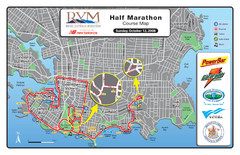
2008 Royal Victoria Half Marathon Map
Course Map for the Royal Victoria Half Marathon. Held Sunday, October 12, 2008
79 miles away
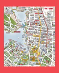
Victoria City Tourist Map
Tourist map of Victoria City on Vancouver Island, BC
79 miles away
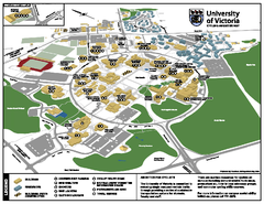
University of Victoria - Cycling Amenities Map
Showing the various cycling related amenities ie. Covered Bicycle Parking, bicycle lockers...
79 miles away
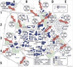
UVic Bicycle Access Patterns 2010 Map
Showing bicycle usage statistics
80 miles away
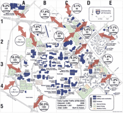
UVic Bicycle Access Patterns 2008 Map
Showing bicycle usage statistics
80 miles away

Shuttle to Town Map
80 miles away
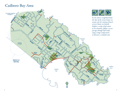
Cadboro Bay Area Map
80 miles away
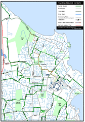
Cycling routes to UVic Map
Bike Route Map of Local Area around UVic © 2007, University of Victoria Updated 17 April...
80 miles away
BEACON HILL PARK MAP
80 miles away
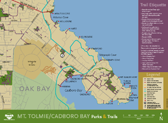
Mt. Tolmie & Cadboro Bay Map
Section of larger map, showing Seaside Touring Route and other regional and local cycling routes...
80 miles away
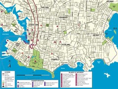
Downtown Victoria Map
80 miles away
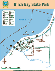
Birch Bay State Park Map
Map of park with detail of trails and recreation zones
85 miles away

San Juan Island tourist map
San Juan Island and Friday Harbor tourist map. Shows all businesses.
85 miles away

Orcas tourist map
Tourist map of Orcas, Washington. Shows all businesses.
87 miles away
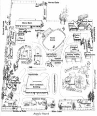
San Juan County Fair Map 2008
Fairgrounds map for the San Juan County Fair, Friday Harbor, Washington
87 miles away
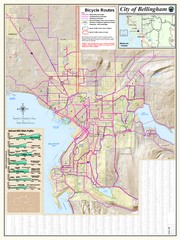
Bellingham, Washington City Map
87 miles away
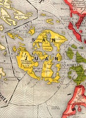
San Juan County Washington, 1909 Map
88 miles away
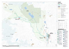
Callaghan Country Nordic Ski Trail Map
Trail map from Callaghan Country, which provides nordic skiing. This ski area opened in 1998, and...
89 miles away
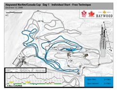
Whistler Olympic Park (Callaghan Nordic Centre...
Trail map from Whistler Olympic Park (Callaghan Nordic Centre), which provides night and nordic...
89 miles away
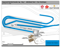
Whistler Olympic Park (Callaghan Nordic Centre...
Trail map from Whistler Olympic Park (Callaghan Nordic Centre), which provides night and nordic...
89 miles away
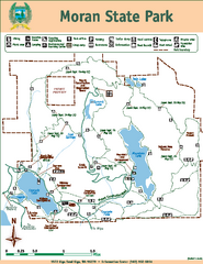
Moran State Park Map
Map of park with detail of trails and recreation zones
90 miles away
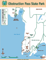
Obstruction Pass State Park Map
Map of park with detail of trails and recreation zones
91 miles away

Creekside Map
Tourist map of Creekside Village
92 miles away
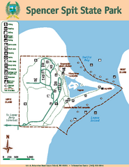
Spencer Spit State Park Map
Map of park with detail of trails and recreation zones
92 miles away
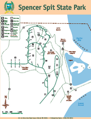
Spencer Spit State Park Map
Map of park with detail of trails and recreation zones
92 miles away
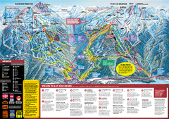
Whistler Blackcomb Trail map 2010-2011
Official ski trail map Whistler Blackcomb for the 2010-2011 season.
93 miles away
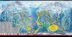
Whistler Blackcomb Ski Trail map 2005-06
Official ski trail map of the Whistler Blackcomb ski area from the 2005-2006 season. Site of the...
93 miles away
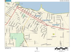
Port Angeles City Map
94 miles away

