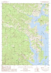
Bohemotash Mountain Quad - Shasta Lake Map
Topographic map, Bohemotash Mountain Quadrangle, California 1990. Area of map includes a portion of...
597 miles away
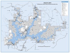
Shasta Unit - Whiskeytown-Shasta-Trinity National...
Map of Shasta Lake, California, showing roads, campgrounds, marinas and resorts, hiking and biking...
598 miles away
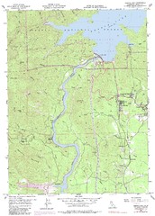
Shasta Dam Quad - Shasta Lake Map
Topographic map, Shasta Dam Quadrangle, California 1969. Area of map includes a portion of Shasta...
600 miles away
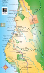
Humboldt County, California Map
Tourist map of Humboldt County, California. Shows parks, wildlife refuges, visitor centers, and...
600 miles away
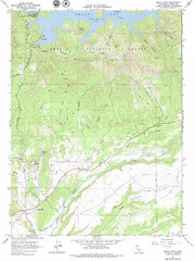
Bella Vista Quad - Shasta Lake Map
Topographic map, Bella Vista Quadrangle, California 1976. Area of map includes a portion of Shasta...
600 miles away

Pacific Crest Trail Map
Shows entire route of 2,650 mile Pacific Crest Trail from Mexico to Canada.
602 miles away
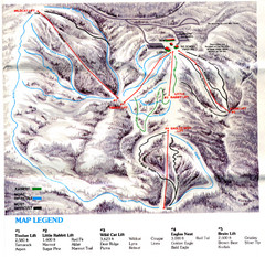
Iron Mountain Trail Map
Iron Mountain ski area
602 miles away
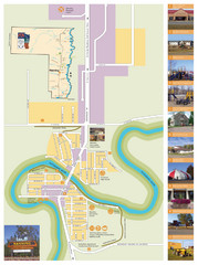
Manning Town Map
603 miles away
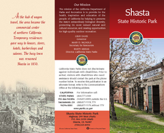
Shasta State Historic Park Map
Map of park with detail of trails and recreation zones
607 miles away

Helena, Montana City Map
610 miles away
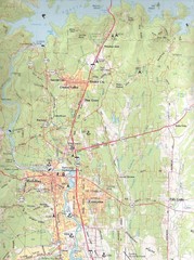
Redding, California City Map
610 miles away
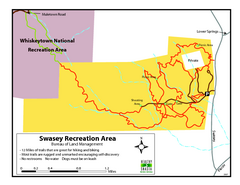
Swasey Recreation Area Map
12 Miles of trails that are great for hiking and biking. Most trails are rugged and unmarked...
610 miles away
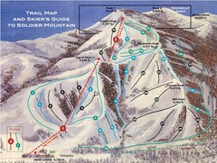
Soldier Mountain Ski Trail Map
Trail map from Soldier Mountain, which provides downhill and terrain park skiing. It has 3 lifts...
611 miles away
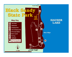
Black Sandy State Park Map
Simple but clear map of State Park.
611 miles away
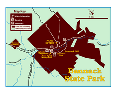
Bannack State Park Map
612 miles away
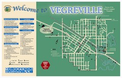
Vegreville Tourist Map
Tourist map of Vegreville, Alberta. Shows points of interest.
614 miles away
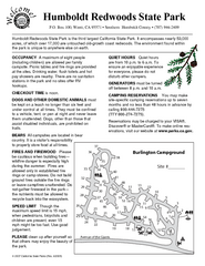
Humboldt Redwoods State Park Campground Map
Map of campground region park with detail of trails and recreation zones
619 miles away
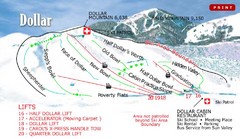
Sun Valley—Bald Mountain Ski Trail Map
Trail map from Sun Valley—Bald Mountain, which provides downhill, nordic, and terrain park skiing...
619 miles away
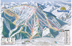
Sun Valley Ski Area Trail Map
Official ski trail map of Bald Mountain, the main mountain of Sun Valley ski area in Sun Valley...
619 miles away
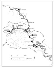
Humboldt Redwoods State Park Map
Park map of Humboldt Redwoods State Park, California. Shows Avenue of the Giants, trailheads and...
620 miles away
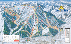
Sun Valley Ski Trail Map 2008
Ski trail map of Sun Valley ski area
620 miles away
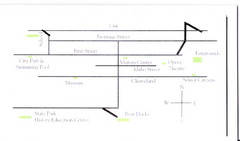
Glenns Ferry City Map
City map of Glenns Ferry, Idaho with information
622 miles away
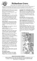
Richardson Grove State Park Campground Map
Map of campground region of park with detail of trails and recreation zones
623 miles away
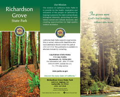
Richardson Grove State Park Map
Map of park with detail of trails and recreation zones
623 miles away
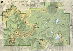
Lassen Volcanic National Park Map
623 miles away
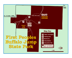
First People's Buffalo Jump State Park Map
A visitor center and interpretive trails tell the story of this prehistoric bison kill site, one of...
624 miles away
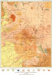
Lassen Peak District Geological Map
Geologic map of the Lassen Peak area in Lassen National Park, California. Shows sedimentary rock...
624 miles away
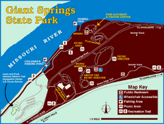
Giant Springs State Park Map
Set aside a whole afternoon to experience this scenic and historic freshwater springs site. First...
624 miles away
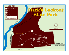
Clark's Lookatout State Park Map
Clearly marked State Park Map.
625 miles away
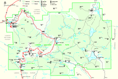
Lassen Volcanic National Park Official Park Map
Official NPS map of Lassen Volcanic National Park in California. Map shows all areas. Lassen...
626 miles away
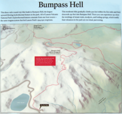
Bumpass Hell Trail Map
Trail map of route to Bumpass Hell, a major area of geo-thermal activity in Lassen National Park...
626 miles away
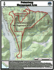
Petersburg, Alaska Tourist Map
627 miles away
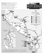
King Range National Conservation Area Trail Map
Trail map of the King Range National Conservation Area, home of the Lost Coast, California. Shows...
629 miles away
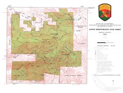
Latour State Forest Map
Countour map of the Latour Demonstration Forest.
629 miles away
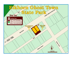
Elkhorn Ghost Town State Park Map
Clearly marked map of old 1880's ghost town with impressive structures.
634 miles away

William B. Ide Adobe State Historic Park Map
Map of park with detail of trails and recreation zones
637 miles away
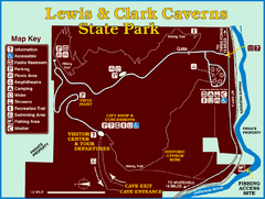
Lewis and Clark Caverns State Park Map
Montana's first and best-known state park showcases one of the most highly decorated limestone...
637 miles away
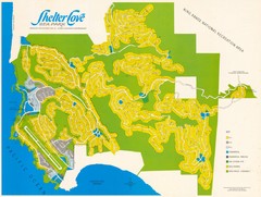
Shelter Cove Map
Shelter Cove Subdivision Map. Shows all streets, houses, commercial buildings, gas stations, and...
638 miles away
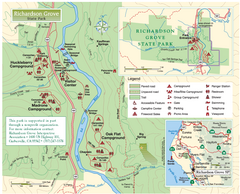
Richardson Grove State Park Map
Park map of Richardson Grove State Park, California. Shows trails, campgrounds, and other...
640 miles away
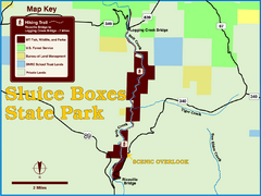
Sluice Boxes State Park Map
Remains of mines, a railroad, and historic cabins line Belt Creek as it winds through a beautiful...
642 miles away

