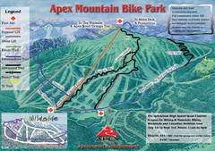
Apex Mountain Resort Biking Ski Trail Map
Trail map from Apex Mountain Resort, which provides downhill and terrain park skiing. It has 5...
211 miles away
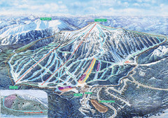
Apex Mountain Ski Trail Map
Official ski trail map of Apex Mountain ski area
211 miles away

Mt. Rainier 3D Print Map
This is a 3D-printed map of the cone of Mt. Rainier in Washington, USA, including Liberty Cap, many...
211 miles away
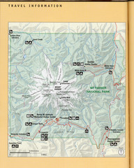
Mount Rainier National Park Map
Guide to the Mount Rainier National Park
211 miles away
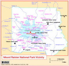
Mount Rainier National Park Vicinity Map
211 miles away
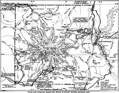
1928 Mount Rainier National Park Map
Guide to Mount Rainier National Park in 1938
212 miles away
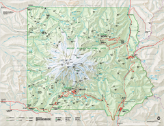
Mount Rainier National Park map
Official NPS map of Mt. Rainier National Park. Shows the entire park and surroundings
212 miles away
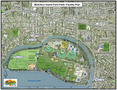
MacArthur Island Park Map
Park map of MacArthur Island Park in the Thompson River in Kamloops, BC. Shows Rivers Trail...
212 miles away
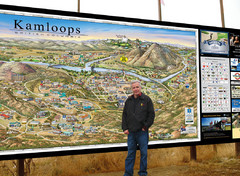
Kamloops tourist info map by Jean-Louis Rheault
Tourist map of Kamloops, British Columbia. Photo of 20 foot sign with the cartographer, Jean-Louis...
213 miles away
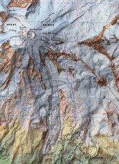
Mt. Rainier Climbing Routes Map
Shows major climbing routes on Mt. Rainier on southwest part of mountain.
213 miles away
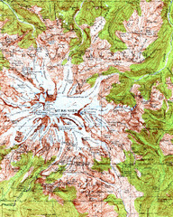
Mount Rainier Topographic Map
Guide to topography and glaciers of Mount Rainier
213 miles away
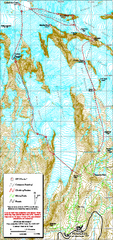
Mount Rainier Paradise Climbing Route map
Map shows all hiking and climbing routes originating from Paradise at 5,400 ft.
214 miles away
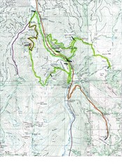
White River 50 Course Map
White River 50 Mile Trail Run
214 miles away
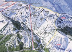
Crystal Mountain Ski Trail Map - Northway Area
Official ski trail map of the Northway area of Crystal Mountain ski area from the 2007-2008 season...
215 miles away
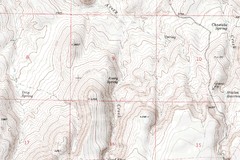
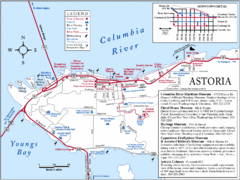
Astoria Oregon Map
A detailed topographic map of Astoria, Oregon and the Columbia River.
215 miles away
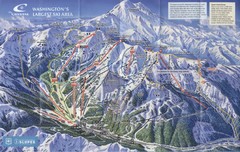
Crystal Mountain Resort Ski Trail Map
Trail map from Crystal Mountain Resort, which provides downhill skiing. It has 10 lifts servicing...
215 miles away
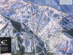
Crystal Mountain Resort Northway Inset Ski Trail...
Trail map from Crystal Mountain Resort, which provides downhill skiing. It has 10 lifts servicing...
215 miles away
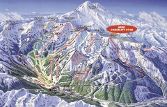
Crystal Mountain Ski Trail Map
Official ski trail map of Crystal Mountain ski area from the 2007-2008 season. 2600 acres of...
215 miles away
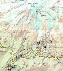
Pinnacle Saddle Trail Map
215 miles away
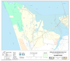
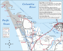
Warrenton Oregon Road Map
216 miles away
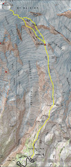
Mount Rainier Climbing Map
Guide to climbing Mount Rainier, Camp Muir Route
217 miles away
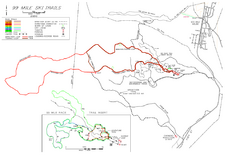
99 Mile Ski Ski Trail Map
Trail map from 99 Mile Ski Trails, which provides nordic skiing. This ski area has its own website.
218 miles away
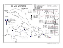
99 Mile Ski Race Routes Ski Trail Map
Trail map from 99 Mile Ski Trails, which provides nordic skiing. This ski area has its own website.
218 miles away
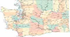
Washington Road Map
Road map of state of Washington
218 miles away
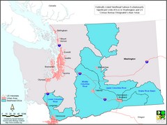
Washington Steelhead Salmon Map
Shows federally listed steelhead salmon evolutionarily significant units in Washington state.
218 miles away
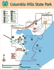
Columbia Hills State Park Map
Map of park with detail of trails and recreation zones
220 miles away
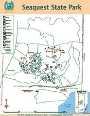
Seaquest State Park Map
Map of park with detail of trails and recreation zones
220 miles away
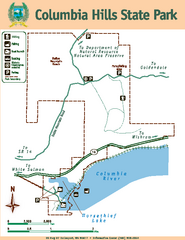
Columbia Hills State Park Map
Map of park with detail of trails and recreation zones
220 miles away
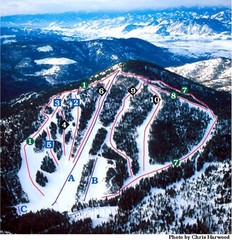
Loup Loup Ski Bowl Ski Trail Map
Trail map from Loup Loup Ski Bowl, which provides downhill, night, and nordic skiing. It has 2...
221 miles away
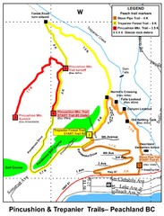
Peachland Walks Map
Guide to Pincushion and Trepanier Trails in Peachland, BC
221 miles away
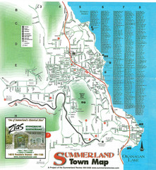
Summerland Town Map
Map of Summerland with details on outdoor-recreation locations and streets
222 miles away
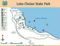
Lake Chelan State Park Map
Map of island with detail of trails and recreation zones
222 miles away
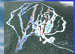
2004–09 Harper Mountain Map
Trail map from Harper Mountain, which provides downhill and nordic skiing. This ski area has its...
222 miles away
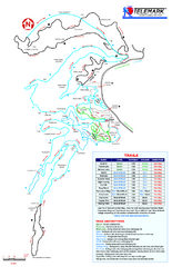
Telemark Cross Country Ski Trail Map
Trail map from Telemark Cross Country, which provides nordic skiing. This ski area has its own...
222 miles away
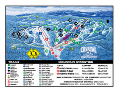
Crystal Mountain Resort Ski Trail Map
Trail map from Crystal Mountain Resort, which provides downhill skiing. This ski area has its own...
222 miles away
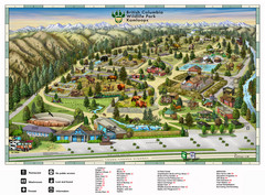
British Columbia Wildlife Park Visitor Map
Wildlife Visitor Park Map. Full color with illustrations.
222 miles away
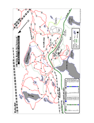
108 Mile House Ski Trail Map
Trail map from 108 Mile House.
224 miles away
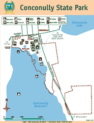
Conconully State Park Map
Map of park with detail of trails and recreation zones
225 miles away

