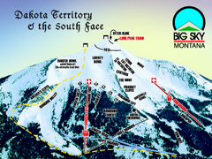
Big Sky Resort Dakota Territory Detail Ski Trail...
Trail map from Big Sky Resort, which provides terrain park skiing. It has 21 lifts servicing 150...
307 miles away
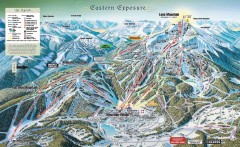
Big Sky Ski Resort Trail Map (Eastern exposure...
Big Sky ski resort trail map (Eastern exposure) for the 2006-2007 season
308 miles away

Big Sky Ski Resort Trail Map (Southern exposure...
Big Sky ski resort trail map (Southern exposure) for the 2006-2007 season. Also check out the...
308 miles away
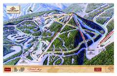
Spanish Peaks Resort Ski Trail Map
Trail map from Spanish Peaks Resort. It has 2 lifts servicing 12 runs; the longest run is 2574...
308 miles away
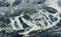
Whitewater Ski Resort Silver King Ski Trail Map
Trail map from Whitewater Ski Resort.
309 miles away
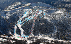
Whitewater Ski Resort Summit Ski Trail Map
Trail map from Whitewater Ski Resort.
309 miles away
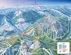
Yellowstone Club Ski Trail Map
Trail map from Yellowstone Club, which provides terrain park skiing. It has 15 lifts servicing 60...
310 miles away
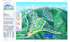
Red Lodge Mountain Ski Trail Map
Official ski trail map of Red Lodge Mountain ski area from the 2007-2008 season.
312 miles away
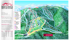
Red Lodge Mountain Ski Trail Map
Trail map from Red Lodge Mountain.
312 miles away
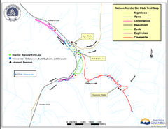
Nelson Nordic Ski Trail Map
Trail map from Nelson Nordic, which provides night and nordic skiing. This ski area has its own...
312 miles away
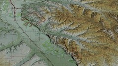
Custer Battlefield Oblique Map
313 miles away
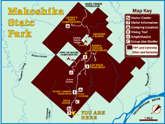
Makoshika State Park Map
To the Sioux Indians, Ma-ko-shi-ka meant bad earth or bad land. Today, as Montana’s largest...
313 miles away
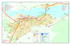
Nelson BC Town Map
315 miles away

Little Big Horn Battlefield National Monument Map
Official NPS map of the Little Big Horn Battlefield National Monument. This area memorializes...
315 miles away

Rotary Trail Map
315 miles away
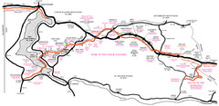
Trail of the Coeur d'Alenes Map
Shows the Trail of the Coeur d'Alenes, a 72 mile bike path that follows the Union Pacific...
316 miles away
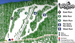
Salmo Ski Area Ski Trail Map
Trail map from Salmo Ski Area, which provides downhill skiing. This ski area has its own website.
318 miles away
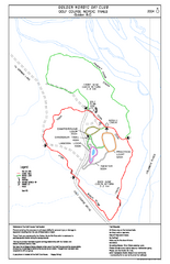
2004–06 Golden Golf Course Trail Map
Trail map from Golden Golf Course.
319 miles away
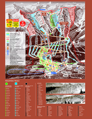
Kicking Horse Resort Ski Trail Map 2008-2009
Trail map from Kicking Horse Resort, which provides downhill and nordic skiing. This ski area has...
320 miles away
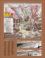
Kicking Horse Ski Trail Map 2007-08
Official ski trail map of Kicking Horse ski area from the 2007-2008 season.
320 miles away
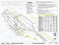
Dawn Mountain Nordic Ski Trail Map
Trail map from Dawn Mountain Nordic.
320 miles away
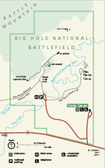
Big Hole National Battlefield Official Map
Official NPS map of Big Hole National Battlefield in Montana. Big Hole National Battlefield is...
320 miles away
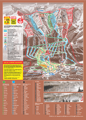
Kicking Horse Ski Trail Map 2009-10
Ski trail map of Kicking Horse ski area for the 2009-2010 season. Features 3 alpine bowls and 70...
320 miles away
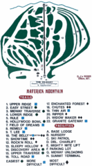
Maverick Mountain Ski Area Ski Trail Map
Trail map from Maverick Mountain Ski Area.
321 miles away
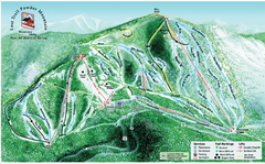
Lost Powder Mountain Ski Trail Map
Trail map from Lost Trail Powder Mountain.
323 miles away
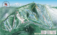
Lost Trail Powder Mountain Ski Trail Map
Official ski trail map of Lost Trail Powder Mountain ski area
324 miles away
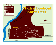
Clark's Lookatout State Park Map
Clearly marked State Park Map.
325 miles away
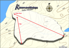
Kinosoo Ridge Topo Ski Trail Map
Trail map from Kinosoo Ridge, which provides downhill skiing. This ski area has its own website.
331 miles away
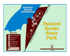
Painted Rocks State Park Map
Located in the scenic Bitterroot Mountains, this 23-acre park offers boating and water sport...
332 miles away
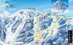
Mt. Spokane Ski Trail Map
Official ski trail map of Mount Spokane ski area from the 2006-2007 season.
334 miles away
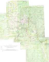
Mount Spokane Trail Map
Contour map of Mount Spokane
334 miles away
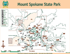
Mount Spokane State Park Map
Map of park with detail of trails and recreation zones
335 miles away
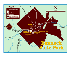
Bannack State Park Map
336 miles away

City of Trail BC Map
Map of city of Trail, BC on the Columbia River
337 miles away
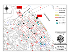
City of Trail Downtown Parking Map
Parking map of downtown Trail, British Columbia
338 miles away
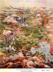
Detail of Yellowstone National Park, 1910 Map
Detail of Yellowstone National Park showing the Oregon Short Line Railroad, 1910
338 miles away
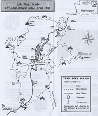
Little Pend Oreille Off Road Vehicle (ORV) Area...
Map of the Off Road Vehicle Area in Little Pend Oreille, Washington. Includes all bike trails...
339 miles away
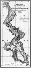
1871 Yellowstone River and Lake Map
Historic guide to the Yellowstone River and Lake in Yellostone National Park
341 miles away
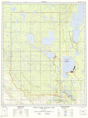
Prince Albert National Park Topo Map
Topographical map of Prince Albert National Park in Saskatchewan, Canada. From atlas.nrcan.gc.ca...
341 miles away

