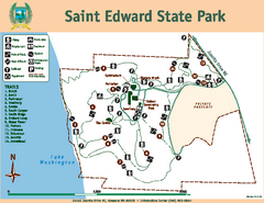
Saint Edward State Park Map
Map of park with detail of trails and recreation zones
563 miles away

Mt. Rainier 3D Print Map
This is a 3D-printed map of the cone of Mt. Rainier in Washington, USA, including Liberty Cap, many...
563 miles away
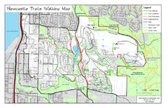
Newcastle Trails Trail Map
Trail map of existing and proposed trails in Newcastle, WA
563 miles away
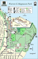
Warren G. Magnuson Park Map
Map of Warren G. Magnuson Park Warren G. Magnuson Park sits on a splendid mile-long stretch of...
564 miles away
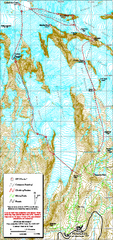
Mount Rainier Paradise Climbing Route map
Map shows all hiking and climbing routes originating from Paradise at 5,400 ft.
564 miles away
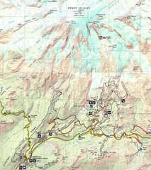
Pinnacle Saddle Trail Map
564 miles away
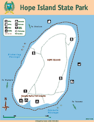
Hope Island State Park Map
Map of park with detail of trails and recreation zones
564 miles away
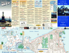
Fidalgo Island tourist map
Tourist map of Fidalgo Island in Anacortes, Washington. Shows recreation and points of interest.
565 miles away
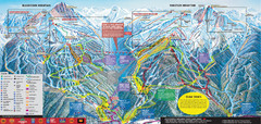
Whistler Blackcomb Ski Trail Map 2007-2008
Official ski trail map of the Whistler Blackcomb ski area from the 2007-2008 season. Site of Alpine...
565 miles away
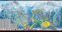
Whistler Blackcomb Ski Trail map 2005-06
Official ski trail map of the Whistler Blackcomb ski area from the 2005-2006 season. Site of the...
565 miles away
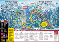
Whistler Blackcomb Trail map 2010-2011
Official ski trail map Whistler Blackcomb for the 2010-2011 season.
565 miles away
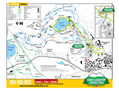
Lost Lake, Whistler Hiking and Biking Trail Map
565 miles away
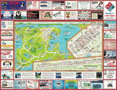
Anacortes tourist map
Tourist map of Anacortes, Washington. Shows recreation and points of interest.
565 miles away
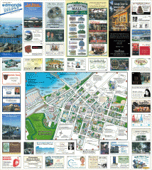
Downtown Edmonds tourist map
Tourist map of Downtown Edmonds, Washington. Shows all businesses.
565 miles away

Golden Spike National Monument Map
566 miles away
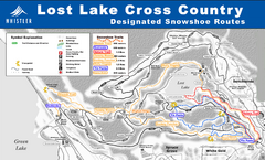
Whistler Cross Country Connection Snowshoeing Ski...
Trail map from Whistler Cross Country Connection.
566 miles away
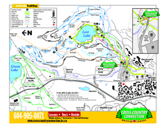
Whistler Cross Country Connection 2006–07...
Trail map from Whistler Cross Country Connection.
566 miles away
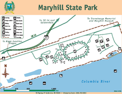
Maryhill State Park Map
Map of park with detail of trails and recreation zones
566 miles away
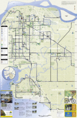
Bicycle Friendly Route Map
566 miles away
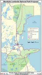
Manitoba Lowlands National Park Tourist Map
566 miles away
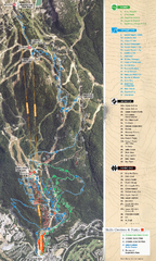
Whistler Blackcomb (Garibaldi Lift Co.) Biking...
Trail map from Whistler Blackcomb (Garibaldi Lift Co.), which provides downhill, night, and terrain...
566 miles away
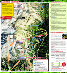
Whistler Blackcomb (Garibaldi Lift Co.) Hiking...
Trail map from Whistler Blackcomb (Garibaldi Lift Co.), which provides downhill, night, and terrain...
566 miles away
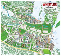
Whistler Village Map
566 miles away
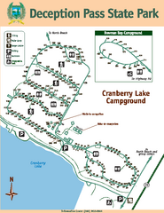
Deception Pass State Park Map
Map of park with detail of trails and recreation zones
566 miles away
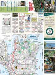
Greater Madison tourist map
Tourist map of Greater Madison, Washington. Shows all businesses.
566 miles away
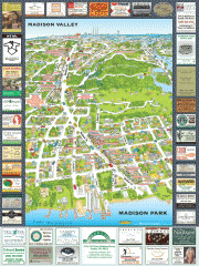
Madison Park tourist map
Tourist map of Madison Park, Washington. Shows all businesses.
566 miles away
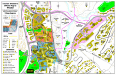
Whistler Village Map
566 miles away
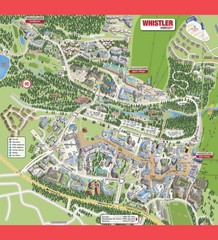
Whistler Village Map
566 miles away
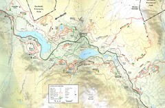
Whistler, CA Hiking and Biking Trails Map
566 miles away
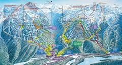
Whistler Blackcomb Trail Map
566 miles away
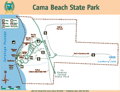
Cama Beach State Park Map
Map of park with detail of trails and recreation zones
566 miles away
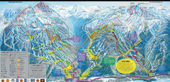
Whistler Blackcomb Ski Resort Map
Ski runs, lifts and amenities on the resort map
566 miles away
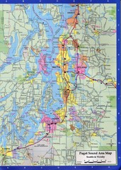
Seattle, Washington City Map
566 miles away
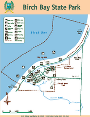
Birch Bay State Park Map
Map of park with detail of trails and recreation zones
567 miles away

Washington Park Arboretum Trail Map
Trail map of Washington Park Arboretum in Seattle.
567 miles away
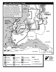
Belcarra Regional Park Trail Map
Trail map of Belcarra Regional Park, BC
567 miles away

South Whidbey Island tourist map
Tourist map of South Whidbey Island, Washington. Shows all businesses.
567 miles away
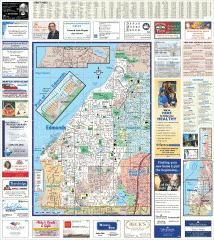
Edmonds tourist map
Tourist map of Edmonds, Washington. Shows all businesses.
567 miles away

South Whidbey tourist map
Tourist map of South Whidbey, Washington. Shows all businesses.
567 miles away

