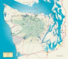
Olympic National Park and Peninsula Map
Guide to the Olympic National Park and surrounding region
728 miles away
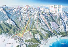
Tamarack Ski Trail Map
Official ski trail map of Tamarack ski area from the 2007-2008 season.
728 miles away
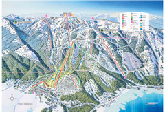
Tamarack Resort Ski Trail Map
Trail map from Tamarack Resort, which provides downhill, nordic, and terrain park skiing. It has 7...
728 miles away
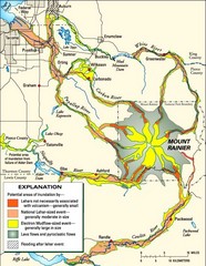
Mount Rainier Potential Lava Flow, Mud Flow and...
Hazard zones for lahars, lava flows, and pyroclastic flows from Mount Rainier. The map shows areas...
729 miles away
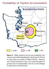
Mount Rainier Probability of Tephra (Ash...
729 miles away
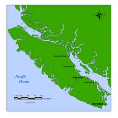
Vancouver Island Overview Map
Town of Parksville highlighted.
729 miles away
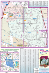
Milton and Edgewood tourist map
Tourist map of Milton and Edgewood, Washington. Shows all businesses.
729 miles away
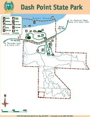
Dash Point State Park Map
Map of park with detail of trails and recreation zones
730 miles away
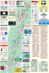
Milton tourist map
Tourist map of Milton, Washington. Shows all businesses.
730 miles away
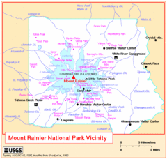
Mount Rainier National Park Vicinity Map
730 miles away
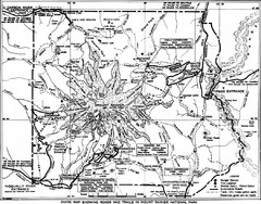
1928 Mount Rainier National Park Map
Guide to Mount Rainier National Park in 1938
731 miles away
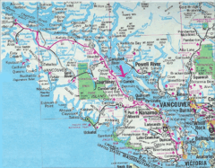
Vancouver Island Road Map
731 miles away
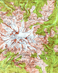
Mount Rainier Topographic Map
Guide to topography and glaciers of Mount Rainier
731 miles away
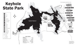
Keyhole State Park Map
Keyhole State Park is located on the western edge of the famed Black Hills, between Sundance and...
731 miles away
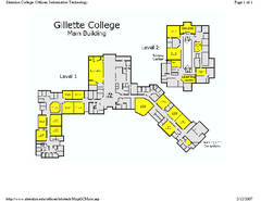
Gilette College Campus Map
Gilette College Campus Map. All buildings shown.
731 miles away
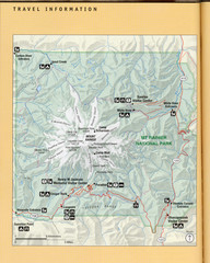
Mount Rainier National Park Map
Guide to the Mount Rainier National Park
732 miles away
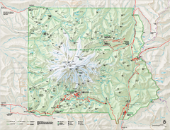
Mount Rainier National Park map
Official NPS map of Mt. Rainier National Park. Shows the entire park and surroundings
732 miles away
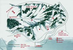
Hurricane Ridge Ski Trail Map
Trail map from Hurricane Ridge.
733 miles away

Mt. Rainier 3D Print Map
This is a 3D-printed map of the cone of Mt. Rainier in Washington, USA, including Liberty Cap, many...
733 miles away
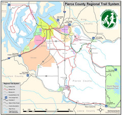
Pierce County Regional Trail Map
County-wide system of trails
734 miles away
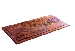
Grand Tetons by Carvedmaps.com Map
Grand Tetons including Teton Villiage and Jenny Lake by carvedmaps.com
734 miles away
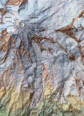
Mt. Rainier Climbing Routes Map
Shows major climbing routes on Mt. Rainier on southwest part of mountain.
734 miles away
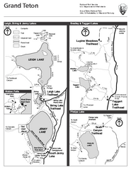
Grand Teton National Park Lakeshore Hiking Map
Shows scenic hikes around lakes such as Phelps, Jenny, Leigh and Taggart in Grand Teton National...
734 miles away
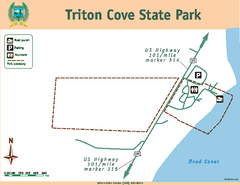
Triton Cove State Park Map
Map of park with detail of trails and recreation zones
734 miles away
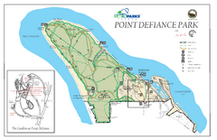
Point Defiance Park Map
734 miles away
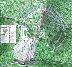
White Pass Ski Area Ski Trail Map
Trail map from White Pass Ski Area, which provides downhill, nordic, and terrain park skiing. It...
734 miles away
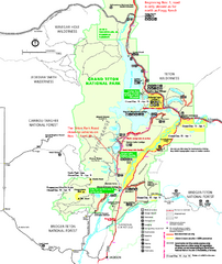
Grand Teton National Park Map - Winter
Official NPS winter map of Grand Teton National Park, Wyoming. The winter park map details winter...
734 miles away
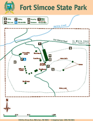
Fort Simcoe State Park Map
Map of park with detail of trails and recreation zones
734 miles away
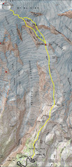
Mount Rainier Climbing Map
Guide to climbing Mount Rainier, Camp Muir Route
734 miles away
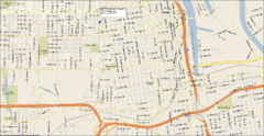
Tacoma, Washington City Map
734 miles away
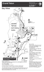
Grand Teton National Park Day Hikes Map
Shows suggested hikes and safety recommendations for day hikes in Grand Teton National Park, WY...
735 miles away
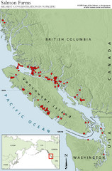
BC Salmon Farms Map
Shows fishfarms in BC around Vancouver Island, highest concentration of fish farms in North Pacific
735 miles away
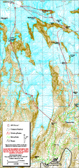
Mount Rainier Paradise Climbing Route map
Map shows all hiking and climbing routes originating from Paradise at 5,400 ft.
735 miles away
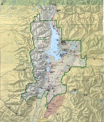
Grand Teton National Park Map
736 miles away
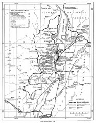
Grand Teton National Park, 1946 Map
736 miles away
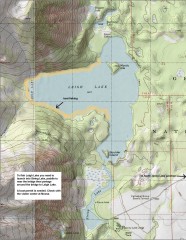
Leigh Lake Fishing Map
Fishing map of Leigh Lake in Teton National Park. From jackdennis.com: "Leigh Lake is a...
736 miles away
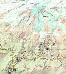
Pinnacle Saddle Trail Map
737 miles away

Grand Targhee Ski Trail Map
Official ski trail map of Grand Targhee ski area from the 2007-2008 season.
737 miles away
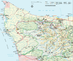
Olympic National Park Map
738 miles away

