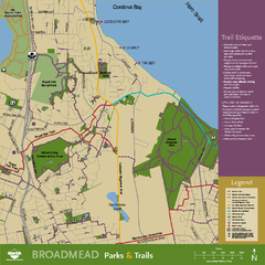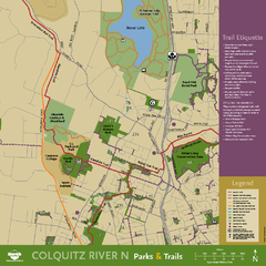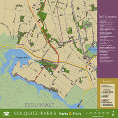
Mount Tolmie Park Map
705 miles away
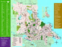
Full Map of Saanich Parks & Trails 2012
Full Map of Saanich Parks & Trails 2012
705 miles away
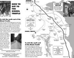
Kinsol Trestle Map
Map of the Kinsol Trestle
705 miles away
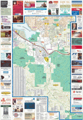
Issaquah tourist map
Issaquah, Washington tourist map. Shows all businesses.
706 miles away
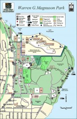
Warren G. Magnuson Park Map
Map of Warren G. Magnuson Park Warren G. Magnuson Park sits on a splendid mile-long stretch of...
706 miles away
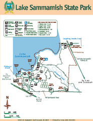
Lake Sammamish State Park Map
Map of island with detail of trails and recreation zones
706 miles away
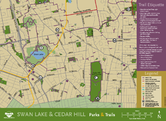
Swan Lake & Cedar Hill Area Map
Swan Lake & Cedar Hill Parks & Trails
707 miles away
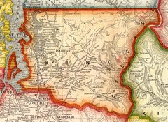
King County Washington, 1909 Map
707 miles away
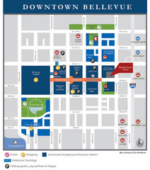
Downtown Bellevue Map
Driving Directions and Downtown Map
707 miles away
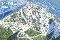
Brundage Mountain Resort Lakeview Bowl Ski Trail...
Trail map from Brundage Mountain Resort, which provides downhill and terrain park skiing. It has 5...
707 miles away
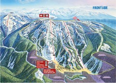
Brundage Mountain Resort Frontside Ski Trail Map
Trail map from Brundage Mountain Resort, which provides downhill and terrain park skiing. It has 5...
707 miles away
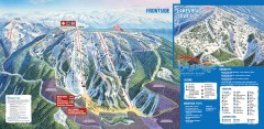
Brundage Ski Trail Map
Official ski trail map of Brundage ski area from the 2007-2008 season.
707 miles away
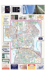
Bellevue tourist map
Tourist map of Bellevue, Washington. Shows all businesses.
708 miles away
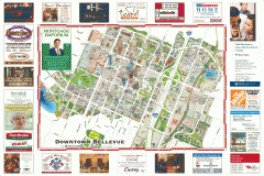
Tourist map of Downtown Bellevue
Tourist map of Downtown Bellevue, Washington. Shows all businesses.
708 miles away
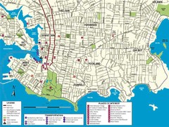
Downtown Victoria Map
708 miles away
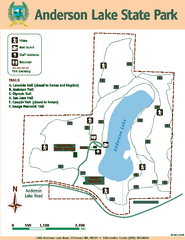
Anderson Lake State Park Map
Map of park and trails
708 miles away
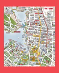
Victoria City Tourist Map
Tourist map of Victoria City on Vancouver Island, BC
708 miles away
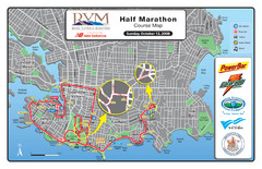
2008 Royal Victoria Half Marathon Map
Course Map for the Royal Victoria Half Marathon. Held Sunday, October 12, 2008
708 miles away
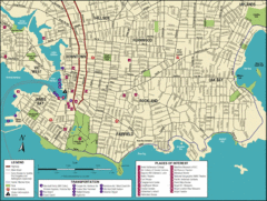
Victoria, British Columbia Tourist Map
708 miles away
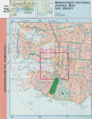
Downtown Victoria, British Columbia Tourist Map
708 miles away

Shuttle to Town Map
708 miles away
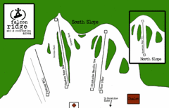
Falcon Ridge Ski Trail Map
Trail map from Falcon Ridge, which provides downhill and nordic skiing. This ski area has its own...
709 miles away
BEACON HILL PARK MAP
709 miles away
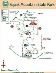
Squak Mountain State Park Map
Map of park with detail of trails and recreation zones
709 miles away
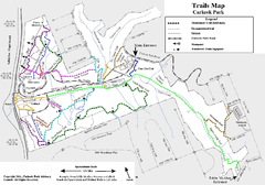
Carkeek Park Trail Map
Trail map of Carkeek Park on the Puget Sound, Seattle, WA. Shows maintained and unmaintained trails.
709 miles away
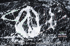
Ferguson Ridge Ski Trail Map
Trail map from Ferguson Ridge.
709 miles away
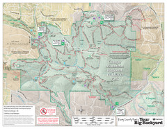
Cougar Mountain Park Trail Map
Trail map of Cougar Mountain Regional Wildland Park, part of the "Issaquah Alps"
709 miles away
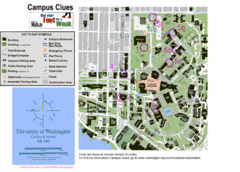
University of Washington map
709 miles away

Welcome to Esquimalt Parks and Recreation...
709 miles away
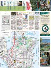
Greater Madison tourist map
Tourist map of Greater Madison, Washington. Shows all businesses.
709 miles away
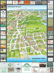
Madison Park tourist map
Tourist map of Madison Park, Washington. Shows all businesses.
709 miles away
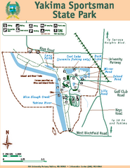
Yakima Sportsman State Park Map
Map of park with detail of trails and recreation zones
710 miles away

Washington Park Arboretum Trail Map
Trail map of Washington Park Arboretum in Seattle.
710 miles away
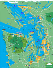
Seattle Ferry Guide Map
Map of ferries around Seattle, Puget Sound and Olympic Peninsula
710 miles away
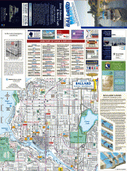
Ballard tourist map
Tourist map of Ballard, Washington and Green Lake Park. Shows all businesses.
710 miles away
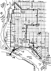
Ballard, Seattle walking map
Start/finish at the Crittendon Locks in Ballard, Seattle. The total map is 6.4 miles, but has...
710 miles away

Yakima, Washington City Map
710 miles away

