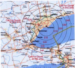
Transportation Rates in Toronto Map
Travel rates in Toronto, Canada
299 miles away
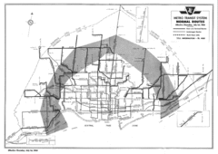
1954 Metro Transit System Map
299 miles away
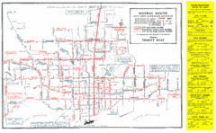
1952 Totonto Transit System Map
299 miles away
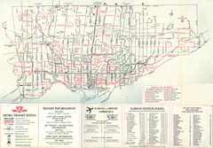
1976 Toronto City Map
Guide to transit and subway systems, points of interest and major roads
299 miles away

Lib Conservation Area Map
Trail map of Lib Conservation Area in Boone County, Illinois.
299 miles away
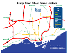
George Brown College Campus Map
George Brown College Campus Map. Shows all buildings.
299 miles away
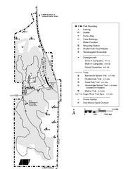
New Glaris Woods Map
Marked bathroom stops, trails, ect.
299 miles away
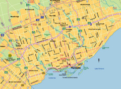
Toronto City Map
Street map of Toronto city
299 miles away

Birdseye Map of Sandusky, Ohio (1898)
Alvord-Peters birdseye map of Sandusky in 1898.
299 miles away

Toronto Subway Map
Official RT/subway map of the Toronto Transit Commission.
299 miles away
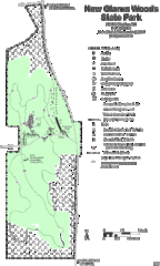
New Glarus Woods State Park Map
299 miles away

Palos & Sag Valley Map
Picnic Areas and Trail Map
299 miles away
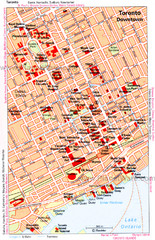
Toronto Downtown Map
299 miles away
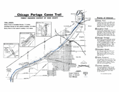
Chicago Portage Canoe Trail Map
Map of the Chicago Portage Canoe Trail in western Cook County on the Des Plaines River, Illinois...
299 miles away

Toronto Average House Prices Map
300 miles away
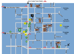
Cabbagetown Tour of Houses Map
300 miles away
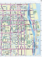
Toronto Canada Downtown Tourist Map
Tourist map for Downtown Toronto, Canada. Street leve map with tourist site highlighted. Subway...
300 miles away
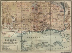
Antique map of Toronto from 1894
"Toronto" from Baedeker, Karl. The Dominion of Canada with Newfoundland and an Excursion...
300 miles away
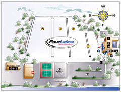
Four Lakes Village Ski Trail Map
Trail map from Four Lakes Village, which provides downhill skiing. This ski area has its own...
301 miles away
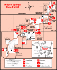
Hidden Springs, Illinois Site Map
301 miles away

Tinley Creek Map
Picnic Areas and Trail Map
301 miles away

Tinley Creek Trail Map
Bicycle trail map
302 miles away
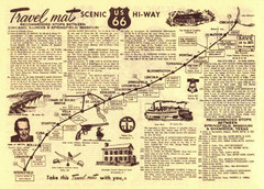
Route 66 Chicago, IL to Springfield, MI Map
302 miles away
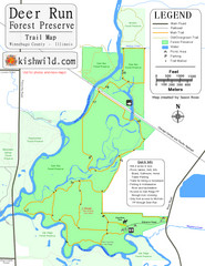
Deer Run Forest Preserve Map
Trail map of Deer Run Forest Preserve in Winnebago County, Illinois.
303 miles away
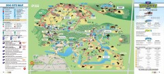
Toronto Zoo Map
Official map of the Toronto Zoo
303 miles away
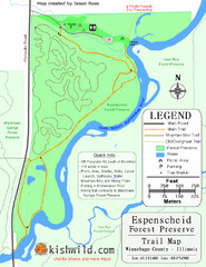
Espenscheid Forest Preserve Map
Trail map of Espenscheid Forest Preserve in Winnebago county, Illinois.
303 miles away

Thorn Creek Trail Map
304 miles away

Ski Lakeridge Ski Trail Map
Trail map from Ski Lakeridge, which provides downhill skiing. This ski area has its own website.
304 miles away
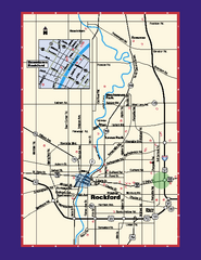
Rockford, Illinois Map
Tourist map of Rockford, Illinois. Museums, parks, hotels and other points of interest are shown.
304 miles away
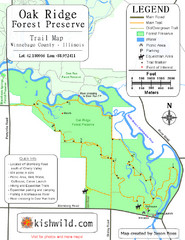
Oak Ridge Forest Preserve Map
Trail map of Oak Ridge Forest Preserve in Winnebago County, Illinois.
304 miles away

Ski Dagmar Ski Trail Map
Trail map from Ski Dagmar, which provides downhill and nordic skiing. This ski area has its own...
304 miles away
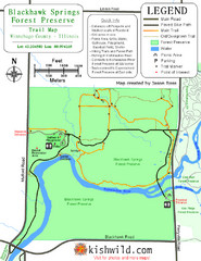
Blackhawk Springs Forest Preserve Map
Trail map of Blackhawk Springs Forest Preserve in Winnebago County, Illinois.
304 miles away
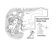
Brunet Island State Park Map
Easy to read legend.
305 miles away
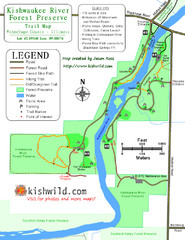
Kishwaukee River Forest Preserve Map
Trail map of Kishwaukee River Forest Preserve in Winnebago county, IL.
305 miles away
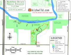
Rockford Rotary Forest Preserve Map
Trail map of Rockford Rotary Forest Preserve in Winnebago County, IL.
306 miles away

Kishwaukee Gorge Forest Preserve Map
Trail map of Kishwaukee Gorge Forest Preserve in Winnebago County, Illinois.
306 miles away
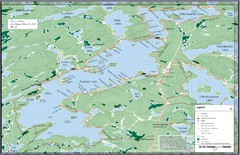
Kennisis Lakes Map
Panoramic topo map of Kennisis Lakes region
307 miles away
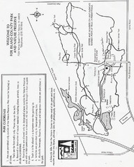
Fox Island Trail Map
Fox Island County Park trail map
308 miles away
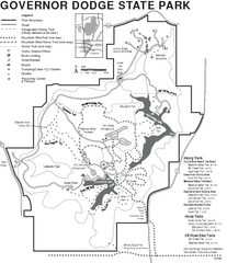
Governor Dodge State Park Map
Bike, Horse, trek, and recreational locations marked on this map.
308 miles away
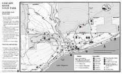
Cascade River State Park Map
Map of park with detail of trails and recreation zones
309 miles away

