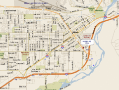
Billings, Montana City Map
204 miles away

Bridger Bowl Ski Area Ski Trail Map
Trail map from Bridger Bowl Ski Area.
204 miles away
Yampa River State Park Map
Map of park with detail of recreation zones
207 miles away
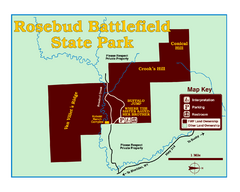
Rosebud Battlefield State Park Map
This National Historic Landmark on the rolling prairie of eastern Montana preserves the site of the...
207 miles away
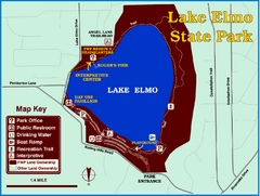
Lake Elmo State Park Map
This urban day-use park attracts visitors to swim, sailboard, and fish. A display in the Fish...
208 miles away
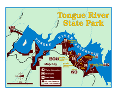
Tongue River Reservoir State Park Map
The 12-mile long reservoir is situated among scenic red shale, juniper canyons, and the open...
208 miles away
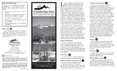
Steamboat Lake State Park Map
Map of park with detail of recreation zones
208 miles away
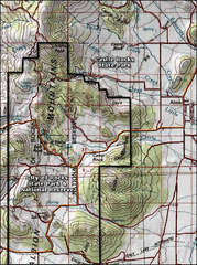
City of Rocks Topo Map
This topo map does not do justice to City of Rocks which is a wonderful reserve that is managed by...
211 miles away
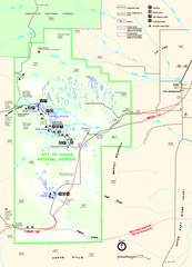
City of Rocks Park Map
This is the official Map for the reserve
211 miles away
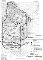
Sites of Cultural Importance, City of Rocks Area...
211 miles away
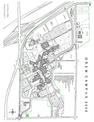
Utah Valley State University Map
Utah Valley State University. All areas shown.
211 miles away
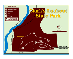
Clark's Lookatout State Park Map
Clearly marked State Park Map.
211 miles away

Little Big Horn Battlefield National Monument Map
Official NPS map of the Little Big Horn Battlefield National Monument. This area memorializes...
212 miles away
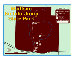
Madison Buffalo Jump State Park Map
You’ll find this day-use-only park seven graveled miles off Interstate 90 at the Logan exit...
212 miles away
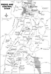
Provo, Utah City Map
212 miles away
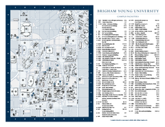
Brigham Young University Map
Campus Map of Brigham Young University in Utah. All buildings shown.
212 miles away
Custer Battlefield Oblique Map
213 miles away
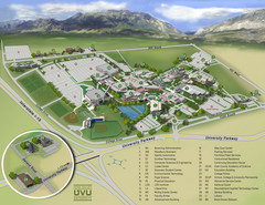
Utah Valley University Map
Campus map
214 miles away
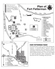
Fort Fetterman State Historic Site Map
Fort Fetterman, located approximately 11 miles northwest of Douglas. The fort was established as a...
215 miles away
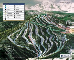
Snowy Range Ski Trail Map
Trail map from Snowy Range.
215 miles away
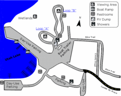
Utah Lake State Park Map
Utah's largest freshwater lake provides fishing access for channel catfish, walleye, white...
215 miles away

Utah Dinosaur Country Map
217 miles away
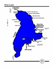
Utah Lake Map
219 miles away
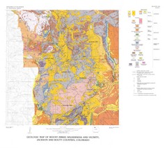
Mount Zirkel Wilderness and Vicinity Geologic Map
Geologic Map of Mount Zirkel Wilderness
221 miles away
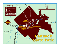
Bannack State Park Map
221 miles away
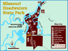
Missouri Headwaters State Park Map
This park encompasses the confluence of the Jefferson, Madison and Gallatin Rivers. The Lewis and...
221 miles away
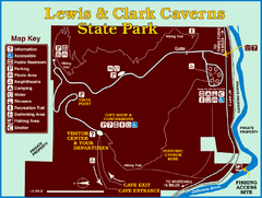
Lewis and Clark Caverns State Park Map
Montana's first and best-known state park showcases one of the most highly decorated limestone...
224 miles away
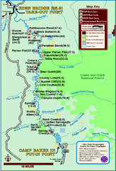
Smith River State Park Map
The Smith River is a unique 59-mile river corridor. Permits are required to float the stretch of...
225 miles away
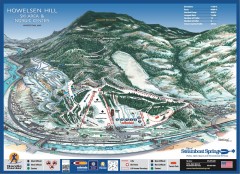
Howelsen Hill Ski Trail Map
Official map of Howelsen Hill ski area in Steamboat, CO. Map shows both downhill and nordic trails...
229 miles away
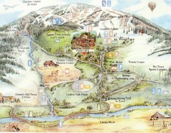
Steamboat Springs Map
A fun map marking points of interest and more.
229 miles away
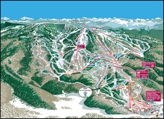
Steamboat Springs Mountain Map
229 miles away
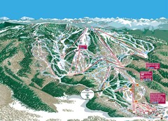
Steamboat Trail Map
Ski trail map
229 miles away
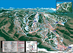
Steamboat Trail Map
230 miles away
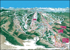
Steamboat Springs Trail Map
Guide to trails in Steamboat Springs Ski Resort, Colorado
231 miles away
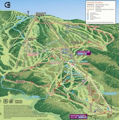
Steamboat Springs Bike Trail Map
Bike trail for Steamboat Springs mountain bike trail.
231 miles away
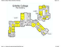
Gilette College Campus Map
Gilette College Campus Map. All buildings shown.
231 miles away
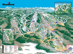
Steamboat Ski Resort Ski Trail Map
Trail map from Steamboat Ski Resort, which provides downhill and terrain park skiing. It has 18...
233 miles away
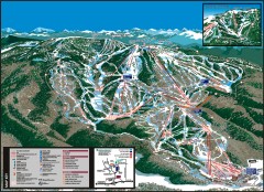
Steamboat Ski Area Ski trail map
Official ski trail map of Steamboat ski area in Steamboat Springs, CO from the 2006-2007 season...
234 miles away
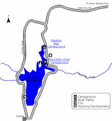
Scofield State Park Map
Camp, boat, and fish at this summer and winter recreation destination situated high in the Manti...
234 miles away
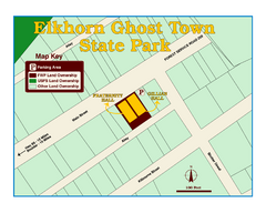
Elkhorn Ghost Town State Park Map
Clearly marked map of old 1880's ghost town with impressive structures.
235 miles away

