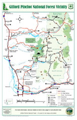
Gifford Pinchot National Forest Vicinity Map
Gifford Pinchot National Forest and surrounding areas including Mt. St Helens.
103 miles away
Mt. Rainier Climbing Routes Map
Shows major climbing routes on Mt. Rainier on southwest part of mountain.
104 miles away

Yakima, Washington City Map
104 miles away
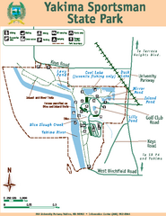
Yakima Sportsman State Park Map
Map of park with detail of trails and recreation zones
105 miles away
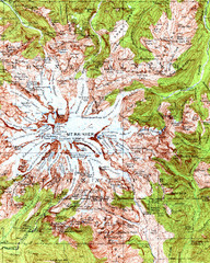
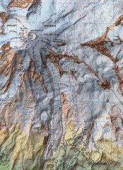
Mount Rainier Topographic Map
Guide to topography and glaciers of Mount Rainier
105 miles away

Mt. Rainier 3D Print Map
This is a 3D-printed map of the cone of Mt. Rainier in Washington, USA, including Liberty Cap, many...
105 miles away
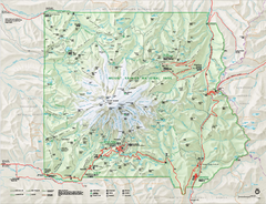
Mount Rainier National Park map
Official NPS map of Mt. Rainier National Park. Shows the entire park and surroundings
106 miles away
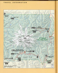
Mount Rainier National Park Map
Guide to the Mount Rainier National Park
106 miles away
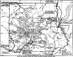
1928 Mount Rainier National Park Map
Guide to Mount Rainier National Park in 1938
107 miles away
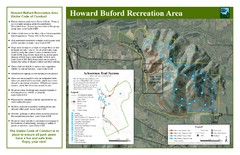
Howard Buford Recreational Area Trails Map
Map of the Howard Buford Recreational Area trails, roads, picnic areas, bathrooms, attractions.
107 miles away
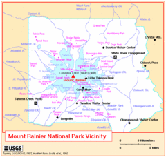
Mount Rainier National Park Vicinity Map
107 miles away
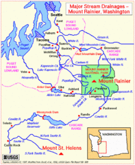
Mount Rainier Major Stream Drainages Map
108 miles away
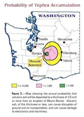
Mount Rainier Probability of Tephra (Ash...
108 miles away
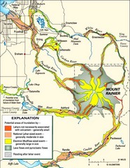
Mount Rainier Potential Lava Flow, Mud Flow and...
Hazard zones for lahars, lava flows, and pyroclastic flows from Mount Rainier. The map shows areas...
108 miles away
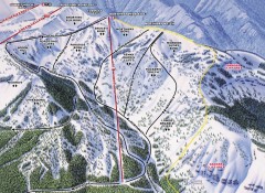
Crystal Mountain Ski Trail Map - Northway Area
Official ski trail map of the Northway area of Crystal Mountain ski area from the 2007-2008 season...
110 miles away
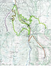
White River 50 Course Map
White River 50 Mile Trail Run
111 miles away
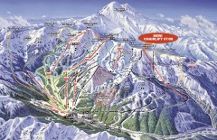
Crystal Mountain Ski Trail Map
Official ski trail map of Crystal Mountain ski area from the 2007-2008 season. 2600 acres of...
111 miles away
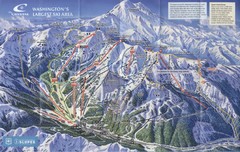
Crystal Mountain Resort Ski Trail Map
Trail map from Crystal Mountain Resort, which provides downhill skiing. It has 10 lifts servicing...
111 miles away
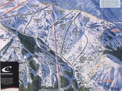
Crystal Mountain Resort Northway Inset Ski Trail...
Trail map from Crystal Mountain Resort, which provides downhill skiing. It has 10 lifts servicing...
111 miles away
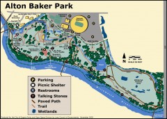
Alton Baker Park Map
Shows parking, picnic shelters, restrooms, talking stones, paved path, trail, and wetlands. Alton...
112 miles away
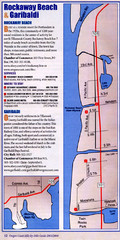
Rockaway Beach Map
112 miles away
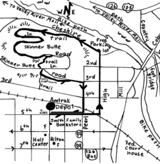
Eugene Oregon Walk, Skinner Butte and River Path...
Walk on the Willamette River Bike path, up Skinner Butte on a forest path and through a historic...
113 miles away
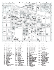
University of Oregon campus map
University of Oregon campus map with building abbreviations
113 miles away
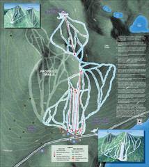
Willamette Pass Ski Trail Map
Trail map from Willamette Pass.
113 miles away

Eugene Parks map
City of Eugene Parks Map. Includes streets and trails.
113 miles away
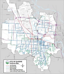
Eugene, Oregon City Map
114 miles away
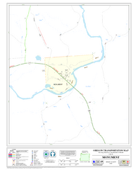
Monument Oregon Road Map
115 miles away

Pierce County Washington Map, 1909 Map
115 miles away
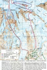
Mount Rainier Topo Map
Map of Mount Rainier Ascent. We ascended the "Muir Snowfield" and then went up the "...
116 miles away
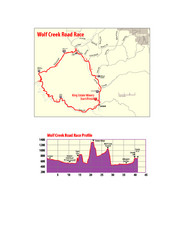
Wolf Creek Road Race Route and Route Elevation Map
Route map and elevation of Wolf Creek bike Race
117 miles away
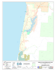
Lincoln City Oregon Road Map
118 miles away
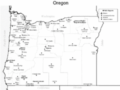
Oregon Airport Map
119 miles away
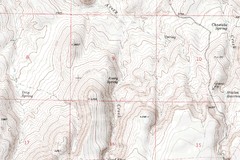
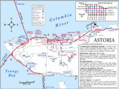
Astoria Oregon Map
A detailed topographic map of Astoria, Oregon and the Columbia River.
120 miles away
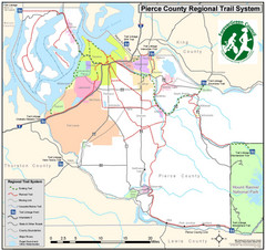
Pierce County Regional Trail Map
County-wide system of trails
122 miles away
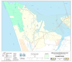
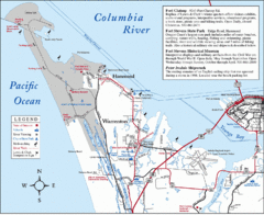
Warrenton Oregon Road Map
123 miles away
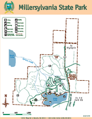
Millersylvania State Park Map
Map of park with detail of trails and recreation zones
125 miles away
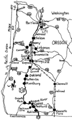
Oregon Walks Map
Walks in Portland, Oregon City, Corvallis, Salem, Lebanon, Albany, Eugene, Springfield, Junction...
125 miles away
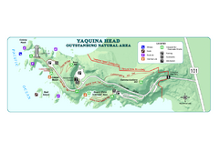
Yaquina Head Outstanding National Area Map
126 miles away

