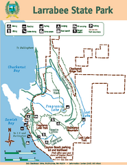
Larrabee State Park Map
Map of island with detail of trails and recreation zones
119 miles away
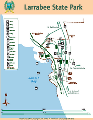
Larrabee State Park Map
Map of island with detail of trails and recreation zones
119 miles away
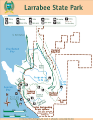
Larrabee State Park Map
Park map of Larrabee State Park, Washington.
119 miles away
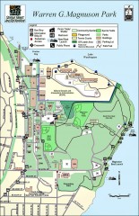
Warren G. Magnuson Park Map
Map of Warren G. Magnuson Park Warren G. Magnuson Park sits on a splendid mile-long stretch of...
119 miles away
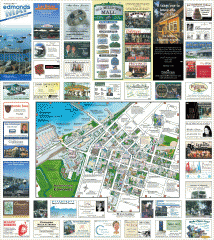
Downtown Edmonds tourist map
Tourist map of Downtown Edmonds, Washington. Shows all businesses.
120 miles away
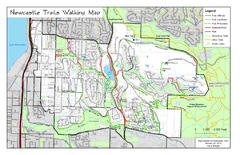
Newcastle Trails Trail Map
Trail map of existing and proposed trails in Newcastle, WA
120 miles away
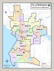
Bellingham Ward Map
Guide to wards in Bellingham, WA
121 miles away
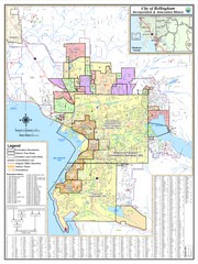
Bellingham, Washington City Map
121 miles away

South Whidbey Island tourist map
Tourist map of South Whidbey Island, Washington. Shows all businesses.
121 miles away

South Whidbey tourist map
Tourist map of South Whidbey, Washington. Shows all businesses.
121 miles away
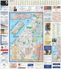
Edmonds tourist map
Tourist map of Edmonds, Washington. Shows all businesses.
121 miles away
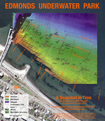
Edmonds Underwater Park Map
Map of underwater park for divers
121 miles away
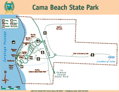
Cama Beach State Park Map
Map of park with detail of trails and recreation zones
121 miles away
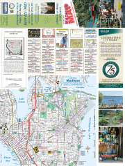
Greater Madison tourist map
Tourist map of Greater Madison, Washington. Shows all businesses.
121 miles away
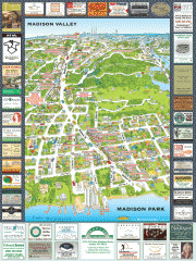
Madison Park tourist map
Tourist map of Madison Park, Washington. Shows all businesses.
121 miles away
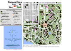
University of Washington map
122 miles away

Washington Park Arboretum Trail Map
Trail map of Washington Park Arboretum in Seattle.
122 miles away
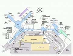
Spokane International Airport Terminal Map
Official Map of Spokane International Airport in Washington state. Shows all terminals.
122 miles away
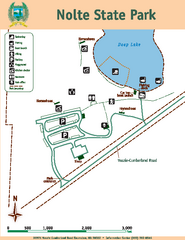
Nolte State Park Map
Map of park with detail of trails and recreation zones
122 miles away
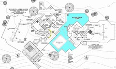
Lynden City Park Map
122 miles away
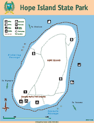
Hope Island State Park Map
Map of park with detail of trails and recreation zones
123 miles away
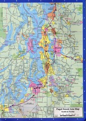
Seattle, Washington City Map
123 miles away
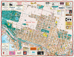
Capitol Hill tourist map
Tourist map of Capitol Hill in Seattle, Washington. Shows all businesses.
123 miles away
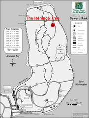
Seward Park Trails Map
Map of the trails in Seward Park, a 300-acre park on a peninsula in the south Seattle, WA area.
123 miles away
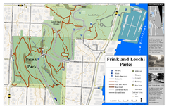
Frink Park and Leschi Park Map
123 miles away
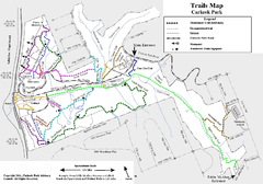
Carkeek Park Trail Map
Trail map of Carkeek Park on the Puget Sound, Seattle, WA. Shows maintained and unmaintained trails.
123 miles away
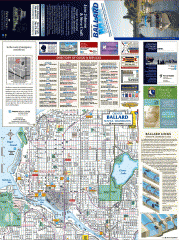
Ballard tourist map
Tourist map of Ballard, Washington and Green Lake Park. Shows all businesses.
123 miles away
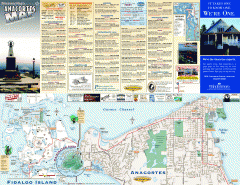
Fidalgo Island tourist map
Tourist map of Fidalgo Island in Anacortes, Washington. Shows recreation and points of interest.
124 miles away
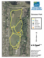
Genesee Park Trail Map
Trail map of Genesee Park in Mt Baker, Seattle, WA
124 miles away
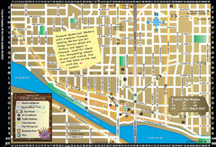
Fremont Walking Tour Map
Walking tour map of Fremont Washington in city of Seattle. Center of the known universe. Shows...
124 miles away
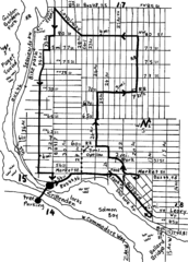
Ballard, Seattle walking map
Start/finish at the Crittendon Locks in Ballard, Seattle. The total map is 6.4 miles, but has...
124 miles away
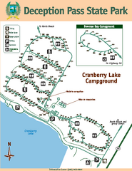
Deception Pass State Park Map
Map of park with detail of trails and recreation zones
124 miles away
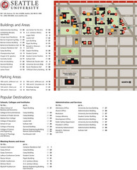
Seattle University Map
Campus Map
124 miles away

Whidbey Island tourist map
Tourist map of Whidbey Island and Coupeville, Washington. Shows all businesses.
124 miles away
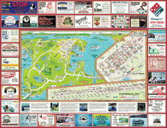
Anacortes tourist map
Tourist map of Anacortes, Washington. Shows recreation and points of interest.
124 miles away
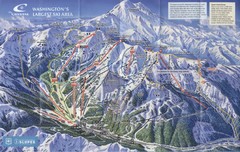
Crystal Mountain Resort Ski Trail Map
Trail map from Crystal Mountain Resort, which provides downhill skiing. It has 10 lifts servicing...
124 miles away
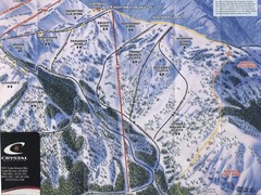
Crystal Mountain Resort Northway Inset Ski Trail...
Trail map from Crystal Mountain Resort, which provides downhill skiing. It has 10 lifts servicing...
124 miles away
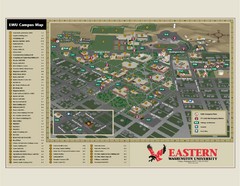
Eastern Washington University Campus Map
Campus map of Eastern Washington University in Cheney, Washington
124 miles away
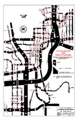
Renton WA Traffic Flow Map
City of Renton, WA traffic flow map
124 miles away
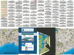
Downtown Seattle biotech map
Downtown Seattle map of biotechnology companies.
125 miles away

