
Redwood National Park Map
416 miles away
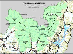
Trinity Alps Wilderness Map
Overview map of the Trinity Alps Wilderness near Weaverville, CA
417 miles away
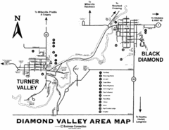
Diamond Valley Area Map
Map of Diamond Valley are, with Turner Valley & Black Diamond oil towns
418 miles away
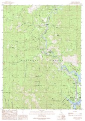
Lamoine Quad - Shasta Lake Map
Topographic map, Lamoine Quadrangle, California 1990. Area of map includes a portion of Shasta Lake...
419 miles away
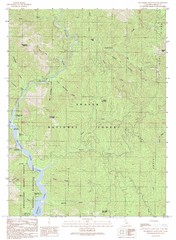
Bollibokka Mountain Quad - Shasta Lake Map
Topographic map, Bollibokka Mountain Quadrangle, California 1990. Area of map includes a portion of...
420 miles away
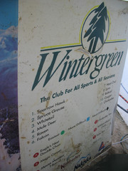
2001 Wintergreen Downhill Map Part 2
Trail map from Wintergreen.
420 miles away
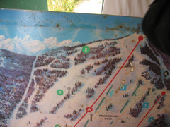
2001 Wintergreen Downhill Map Part 1
Trail map from Wintergreen.
420 miles away

Stanley, British Columbia Map
420 miles away
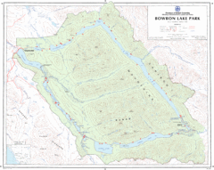
Bowron Lake Park Map
Topographical map of Bowron Lake Park
421 miles away
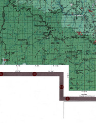
Klamath National Forest Map
Visitor Map of Klamath, eastern part of the forest, includes all roads, camp grounds, creeks, and...
422 miles away
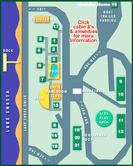
Tsasdi Resort - Shasta Lake Map
Map of the grounds of Tsasdi Resort, lakehead, CA.
422 miles away
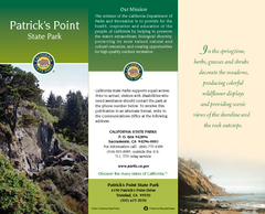
Patrick's Point State Park Map
Map of park with detail of trails and recreation zones
423 miles away
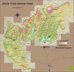
Shasta Trinity National Forest Elevation Map
Shaded relief map of Shasta-Trinity National Forest in northern California
425 miles away
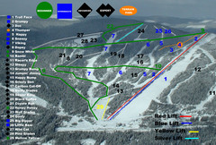
2004–07 Troll Downhill Map
Trail map from Troll. This ski area opened in 1972.
425 miles away
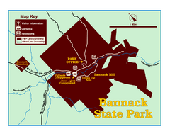
Bannack State Park Map
425 miles away
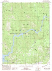
Devils Rock Quad - Shasta Lake Map
Topographic map, Devils Rock Quadrangle, California 1990. Area of map includes a portion of Shasta...
425 miles away
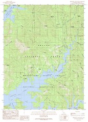
Minnesota Mountain Quad - Shasta Lake Map
Topographic map, Minnesota Mountain Quadrangle, California 1990. Area of map includes a portion of...
426 miles away
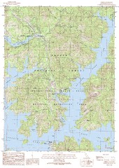
O'Brien Quad - Shasta Lake Map
Topographic map, O'Brien Quadrangle, California 1990. Area of map includes a portion of Shasta...
426 miles away
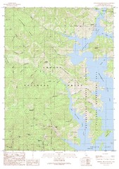
Bohemotash Mountain Quad - Shasta Lake Map
Topographic map, Bohemotash Mountain Quadrangle, California 1990. Area of map includes a portion of...
430 miles away
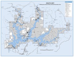
Shasta Unit - Whiskeytown-Shasta-Trinity National...
Map of Shasta Lake, California, showing roads, campgrounds, marinas and resorts, hiking and biking...
430 miles away
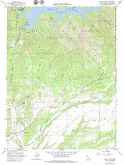
Bella Vista Quad - Shasta Lake Map
Topographic map, Bella Vista Quadrangle, California 1976. Area of map includes a portion of Shasta...
430 miles away
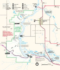
Hagerman Fossil Beds National Monument Map
Official map of Hagerman Fossil Beds National Monument in Hagerman, Idaho
430 miles away
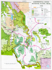
Continental Divide Scenic Trail Map
Guide to the Montana portion of the Continental Divide trail
431 miles away
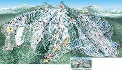
Great Divide Ski Trail Map
Official ski trail map of Great Divide ski area from the 2007-2008 season.
432 miles away
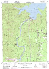
Shasta Dam Quad - Shasta Lake Map
Topographic map, Shasta Dam Quadrangle, California 1969. Area of map includes a portion of Shasta...
433 miles away
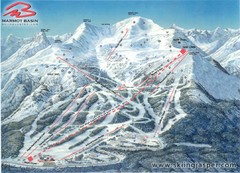
Jasper’s Marmot Basin Future Lift for Ski Trail...
Trail map from Jasper’s Marmot Basin, which provides downhill skiing. This ski area has its own...
433 miles away
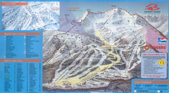
Jasper’s Marmot Basin Ski Trail Map
Trail map from Jasper’s Marmot Basin, which provides downhill skiing. This ski area has its own...
433 miles away
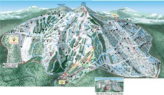
Great Divide Ski Area Ski Trail Map
Trail map from Great Divide Ski Area.
433 miles away
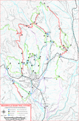
Weaverville Basin Trail System Map
Guide to trails near Weaverville, CA
434 miles away

Weaverville Joss House State Historic Park Map
Map of park with detail of trails and recreation zones
435 miles away
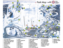
Canada Olympic Park Ski Trail Map
Trail map from Canada Olympic Park, which provides downhill skiing. This ski area has its own...
436 miles away
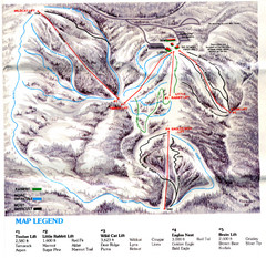
Iron Mountain Trail Map
Iron Mountain ski area
437 miles away
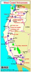
Major West Coast Volcanoes (Washington, Oregon...
437 miles away
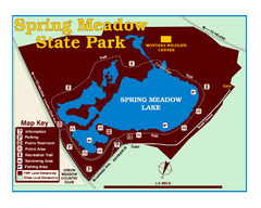
Spring Meadow Lake State Park Map
This urban, day-use-only park minutes from Helena fed by natural springs, is a popular spot for...
437 miles away
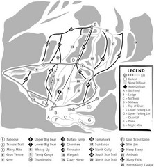
Teton Pass Ski Area Ski Trail Map
Trail map from Teton Pass Ski Area.
439 miles away
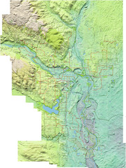
Calgary Topo Bike Map
This map shows the city of Calgary's bike routes. The topographic representation of the...
439 miles away
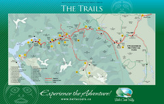
Bella Coola Valley Trail Map
Shows trails in region around Bella Coola, Hagensborg, and Firvale, British Columbia. Shows some...
440 miles away
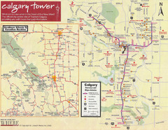
Calgary Tourist Map
Tourist map of Calgary, Canada. Shows points of interest. Scanned.
440 miles away
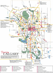
Calgary Map
440 miles away
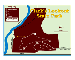
Clark's Lookatout State Park Map
Clearly marked State Park Map.
440 miles away

